Where is Kent County, Michigan?
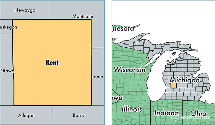
Kent County is a county equivalent area found in Michigan, USA. The county government of Kent is found in the county seat of Grand Rapids.
With a total 2,258.32 sq. km of land and water area, Kent County, Michigan is the 1035th largest county equivalent area in the United States. Home to 629,237 people, Kent County has a total 247278 households earning 51667 on average per year.
Kent County, Michigan offers the following attractions to visitors: Gerald Ford Museum, North Country NST
Kent County, Michigan - Quick Facts
| FIPS Code | 26081 |
| Area Codes | 616,231 |
| Time Zone | EST |
| Major Cities | Grand Rapids (population: 355,711), Wyoming (population: 55,206), Rockford (population: 34,399), Grandville (population: 27,957), Caledonia (population: 20,428), Byron Center (population: 20,301), Ada (population: 19,068), Lowell (population: 16,912), Comstock Park (population: 16,560), Cedar Springs (population: 16,498) |
| Land Area | 242,950 sq miles |
| Water Area | 848 sq miles |
| Household Income | $51,667 |
| Housing Units | 247,278 |
| Median Home Value | $137,500 |
| High School Grads | 89% of population |
| Holders of Bachelors Degrees | 32% of population |
| Retail Spending | $13,377 per capita |
| Food & Accomodation Sales | $925,177 per capita |
| Universities and Colleges | Grand Rapids Community College, ITT Technical Institute-Wyoming, Kuyper College, Grace Bible College, Cornerstone University, Aquinas College |
This page was last updated on June 30, 2016.