Where is Gratiot County, Michigan?
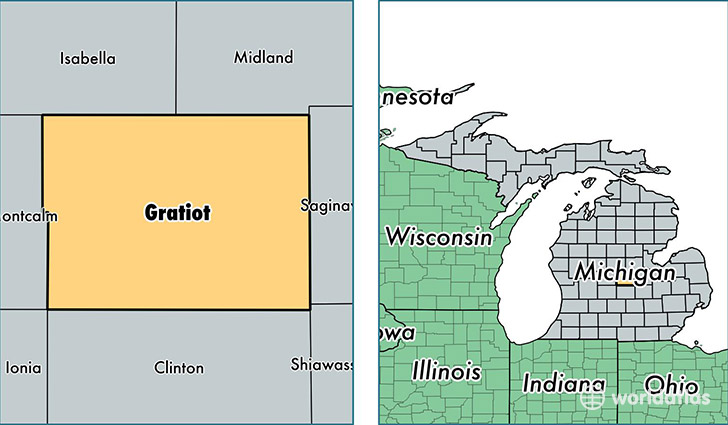
Gratiot County is a county equivalent area found in Michigan, USA. The county government of Gratiot is found in the county seat of Ithaca.
With a total 1,480.46 sq. km of land and water area, Gratiot County, Michigan is the 1914th largest county equivalent area in the United States. Home to 41,665 people, Gratiot County has a total 16157 households earning 40359 on average per year.
Gratiot County, Michigan - Quick Facts
| FIPS Code | 26057 |
| Area Codes | 989 |
| Time Zone | EST |
| Major Cities | Alma (population: 12,797), Saint Louis (population: 10,579), Ithaca (population: 5,982), Breckenridge (population: 3,038), Riverdale (population: 2,374), Perrinton (population: 1,933), Ashley (population: 1,659), Wheeler (population: 1,582), Elwell (population: 1,379), Sumner (population: 1,309) |
| Land Area | 16,087 sq miles |
| Water Area | 568 sq miles |
| Household Income | $40,359 |
| Housing Units | 16,157 |
| Median Home Value | $86,600 |
| High School Grads | 88% of population |
| Holders of Bachelors Degrees | 14% of population |
| Retail Spending | $7,464 per capita |
| Food & Accomodation Sales | $40,125 per capita |
This page was last updated on June 30, 2016.