Where is Newaygo County, Michigan?
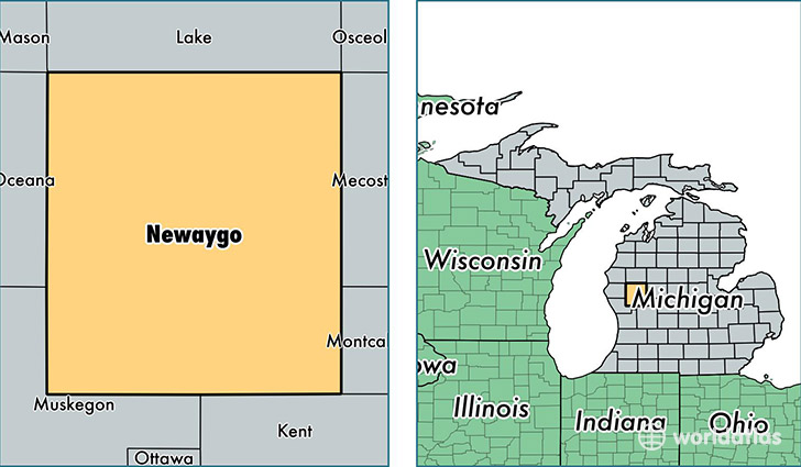
Newaygo County is a county equivalent area found in Michigan, USA. The county government of Newaygo is found in the county seat of White Cloud.
With a total 2,231.76 sq. km of land and water area, Newaygo County, Michigan is the 1063rd largest county equivalent area in the United States. Home to 47,900 people, Newaygo County has a total 24796 households earning 42571 on average per year.
Newaygo County, Michigan - Quick Facts
| FIPS Code | 26123 |
| Area Codes | 231 |
| Time Zone | EST |
| Major Cities | Newaygo (population: 11,967), Fremont (population: 10,950), Grant (population: 8,320), White Cloud (population: 8,003), Bitely (population: 1,824), Brohman (population: 271) |
| Land Area | 18,494 sq miles |
| Water Area | 816 sq miles |
| Household Income | $42,571 |
| Housing Units | 24,796 |
| Median Home Value | $104,100 |
| High School Grads | 86% of population |
| Holders of Bachelors Degrees | 13% of population |
| Retail Spending | $7,213 per capita |
| Food & Accomodation Sales | $32,121 per capita |
This page was last updated on June 30, 2016.