Where is Mecosta County, Michigan?
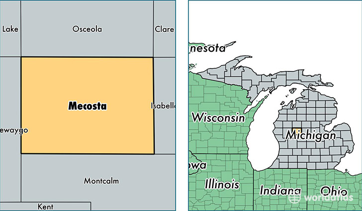
Mecosta County is a county equivalent area found in Michigan, USA. The county government of Mecosta is found in the county seat of Big Rapids.
With a total 1,479.39 sq. km of land and water area, Mecosta County, Michigan is the 1919th largest county equivalent area in the United States. Home to 43,186 people, Mecosta County has a total 20943 households earning 39470 on average per year.
Mecosta County, Michigan - Quick Facts
| FIPS Code | 26107 |
| Area Codes | 989,231 |
| Time Zone | EST |
| Major Cities | Big Rapids (population: 20,342), Stanwood (population: 5,511), Morley (population: 4,401), Mecosta (population: 3,055), Remus (population: 2,941), Barryton (population: 2,290), Paris (population: 1,851), Rodney (population: 1,669), Chippewa Lake (population: 21) |
| Land Area | 16,674 sq miles |
| Water Area | 555 sq miles |
| Household Income | $39,470 |
| Housing Units | 20,943 |
| Median Home Value | $112,200 |
| High School Grads | 90% of population |
| Holders of Bachelors Degrees | 22% of population |
| Retail Spending | $11,352 per capita |
| Food & Accomodation Sales | $44,055 per capita |
This page was last updated on June 30, 2016.