Where is Clinton County, Michigan?
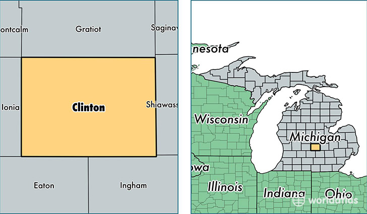
Clinton County is a county equivalent area found in Michigan, USA. The county government of Clinton is found in the county seat of Saint Johns.
With a total 1,488.1 sq. km of land and water area, Clinton County, Michigan is the 1887th largest county equivalent area in the United States. Home to 77,297 people, Clinton County has a total 30657 households earning 60466 on average per year.
Clinton County, Michigan - Quick Facts
| FIPS Code | 26037 |
| Area Codes | 517,989 |
| Time Zone | EST |
| Major Cities | Saint Johns (population: 18,220), Dewitt (population: 16,777), Bath (population: 5,220), Ovid (population: 4,852), Elsie (population: 3,509), Eagle (population: 2,736), Fowler (population: 2,701), Westphalia (population: 2,075), Maple Rapids (population: 676) |
| Land Area | 29,845 sq miles |
| Water Area | 566 sq miles |
| Household Income | $60,466 |
| Housing Units | 30,657 |
| Median Home Value | $156,300 |
| High School Grads | 93% of population |
| Holders of Bachelors Degrees | 28% of population |
| Retail Spending | $9,061 per capita |
| Food & Accomodation Sales | $50,774 per capita |
This page was last updated on June 30, 2016.