The County With The Most Shoreline On The Great Lakes
Chippewa County, Michigan, has the most shoreline on the Great Lakes, with a total of 456 miles of shoreline. This is because the county is one of only two counties that border two Great Lakes. In Chippewa County's case, it borders Lake Superior to the north and Lake Huron to the south, along with Munuscong Lake and St. Mary's River. In this story, we will discuss this Upper Peninsula county's history, the Great Lakes that it sits upon, along with landmarks to see in the county.
History

Chippewa County is one of the oldest regions in Michigan and, in fact, predates Michigan's ascent to statehood. It was established as a county on February 1st, 1826, and was a massive county at the time, running from Isle St Vital on Lake Huron all the way to the Mississippi River and the northern border of the U.S.
The county seat for Chippewa dated all the way back to the 1600s at Sault Ste. Marie. French fur traders had explored the region in the 1600s, with settlers arriving around 1623 and Jesuit missionary Father Jacques Marquette officially naming the settlement in 1668 or 1669, depending on the source, making it the first true city in the Great Lakes. This town was frequently fought over by Natives, French, and British. The U.S. officially gained control over the region with the Treaty of Sault, where the Anishinaabeg ceded the land to the country.
From its creation, Chippewa County was part of Michigan Territory, which was still years from statehood. That statehood was shaped in 1836 by a conflict known as the Toledo War between the state of Ohio and the Michigan Territory. Ohio and Michigan had a big disagreement over who should control a strip of land near Toledo. In order to solve this issue, Congress offered Michigan the Upper Peninsula, which included Chippewa County, while surrendering the Toledo Strip to Ohio.
The deal was accepted in December 1836, and Michigan officially became a state in January 1837. A few years later, in 1843, the once massive Chippewa County was reduced to its current size of 1,651 square miles by land area and 2,698 square miles in total, including water. It is the second largest county in the state, topped only by Marquette County at 1,873 square miles by land and 3,425 square miles in total.
The Great Lakes in Chippewa County, Michigan

Chippewa County has a northern shoreline on Lake Superior, which is the largest of the Great Lakes by surface area and volume at 31,700 square miles by surface area and 2,900 cubic miles by water volume. This makes it the largest freshwater lake in the world and the third largest by water volume. If all of its waters were emptied out, it would cover North and South America in around one foot of water.
Lake Superior is also the deepest of the Great Lakes, averaging 483 feet with a maximum depth of 1,333 feet. Due to its depth, water temperatures are usually very cold here, only reaching a maximum of 55 degrees Fahrenheit in the summer. Due to its small population, its waters are famously clean and clear, with average underwater visibility of 27 feet. Waves can grow to massive sizes in Lake Superior, with the highest ever recorded reaching 31 feet.
Lake Superior is connected to Lake Huron through the Soo Locks located in Sault Ste. Marie. First constructed in 1855, it has been called the Linchpin of the Great Lakes, as it uses gates and chambers to move boats from Lake Superior and the lower Great Lakes. Currently, there is work on an updated Soo Lock, which first began construction in 2019.
The county borders Lake Huron to its south, running along its shoreline to Drummond Island. It has a surface area of 23,000 square miles and a water volume of 850 cubic miles, making it the second largest by both surface area and the third largest by volume. Lake Huron does have the longest shoreline of the Great Lakes at 3,827 miles, due to its islands.
Drummond Island is separated from the mainland of Chippewa County by the St. Mary's River and Lake Huron. At 87,000 acres, it's the seventh largest lake island in the world. The entire island lies within Chippewa County, and about two-thirds of it is Michigan state land.
Landmarks

There are many landmarks on both shorelines of Chippewa County to see. From Lake Superior, there is the Great Lakes Shipwreck Museum in Paradise, Michigan. This museum brings in around 100,000 visitors annually, telling the story of the thousands of shipwrecks that took place in the treacherous waters of the Great Lakes. Next to it is the Whitefish Point Light Tower, the oldest operating lighthouse on Lake Superior, dating back to 1861. One of the museum's most prized artifacts is the bell of the Edmund Fitzgerald, which sank in Lake Superior in 1975.
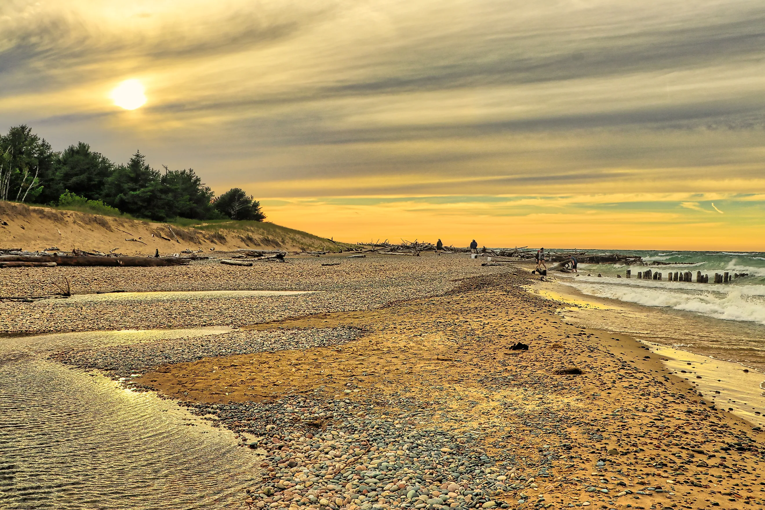
To get out on a beach on Lake Superior, there is Brimley State Park, featuring 100 acres on the Whitefish Bay. Established in 1923 in the town of Brimley, it's one of the oldest state parks in the Upper Peninsula, and features a swimming beach, picnic area, and an observation area where one can view Canada.
Sault Ste. Marie itself doesn't sit on either of the Great Lakes but instead is located on St. Mary's River, connecting Lake Superior to Lake Huron. The Soo Locks are viewable from the city, as is the Sault Ste. Marie International Bridge, connecting Michigan to Canada. There is an Original Soo Locks Boat Tours, which takes visitors out on tours of the region. One of the best overlooks in town is the Tower of History, a 210-foot-tall structure built in 1968 overlooking the shipping channel, the town, and the Canadian border. There is also a beach on St. Mary's River at the Four Mile Beach Park.
Drummond Island is one of the most popular landmarks on the Lake Huron side of Chippewa County. Here, one can access the Big Shoal Hiking Area through the woods or the Heritage Trail that follows the shoreline along Potagannissing Bay. One prominent landmark on the island is the DeTour Reef Lighthouse, which has guided ships on Lake Huron since its construction in 1847. This 63-foot-tall Classic Revival-style lighthouse is open for private tours. Divers can go down into the depths of Lake Huron to discover a sunken crane that sank on the south shores of Drummond Island.
The other county that borders two Great Lakes
Chippewa County is not the only county to have shorelines on two Great Lakes. Directly on its southern border is Mackinac County, which has shoreline on Lake Michigan and Lake Huron. It is the primary entry point between the Lower and Upper Peninsulas, due to the Mackinac Bridge connecting the two. It has the second-longest Great Lakes shoreline at 298 miles.
Within Chippewa County and Mackinac County, one can not only see three Great Lakes, but also gain a deeper appreciation for the architectural achievements of Michiganders through its bridges and locks, alongside some of the more tragic stories of the many shipwrecks on the Great Lakes, while also spending time hiking through a vast Lake Huron Island or enjoying a cold swim at a Lake Superior beach.