The Border Counties Along The Rio Grande
The Rio Grande forms approximately 1,255 miles of the international boundary between the United States and Mexico, running from El Paso, Texas, to the Gulf of Mexico. Along this stretch, the river borders 13 Texas counties, passing through desert canyons, agricultural regions, and major cities. Its waters support irrigation, recreation, and international reservoirs, while crossings at El Paso, Eagle Pass, and Laredo connect communities on both sides of the border. Across the mountains of West Texas and the coastal wetlands near Brownsville, each county has a distinct relationship with the river.
El Paso County

The Rio Grande becomes the international boundary in El Paso County after flowing south through Colorado and New Mexico. Here, it separates El Paso from Ciudad Juárez, Mexico, with much of the urban river contained within an engineered channel designed for flood control and boundary stability. The US Census Bureau estimated 877,858 residents in El Paso County in July 2025, making it one of the most populous counties along the river. Beyond the urban corridor, the county encompasses desert terrain and the Franklin Mountains, which rise above the city. International bridges connecting El Paso and Ciudad Juárez support extensive cross-border travel and commerce.
Hudspeth County

East of El Paso, Hudspeth County covers nearly 4,600 square miles, with the Rio Grande forming part of its southern boundary. Despite its considerable area, the county has fewer than 3,500 residents and a population density below one person per square mile. Settlement is sparse, with communities such as Sierra Blanca and Fort Hancock connected by Interstate 10 and other regional roads. Ranching and irrigated agriculture are important land uses, particularly near the Rio Grande, while much of the interior consists of open desert and mountain terrain. The county's limited population contrasts sharply with neighbouring El Paso County.
Presidio County

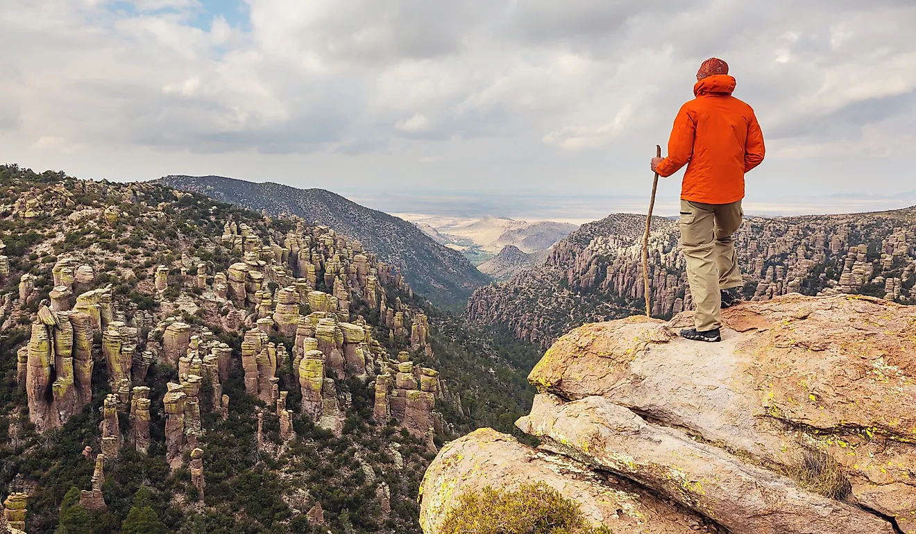
Presidio County occupies a remote section of the Texas-Mexico border, where the Rio Grande passes through rugged desert terrain. Near the city of Presidio, the Rio Conchos flows north from Mexico and joins the Rio Grande, contributing water to the river before it continues toward Big Bend. The county includes Marfa, a small community known for its contemporary art installations and galleries. Visitors can also explore Big Bend Ranch State Park, which protects extensive desert terrain and stretches of the Rio Grande. The park offers hiking trails, scenic drives, and opportunities to experience the river's canyon country.
Brewster County

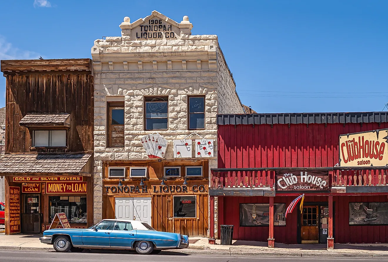
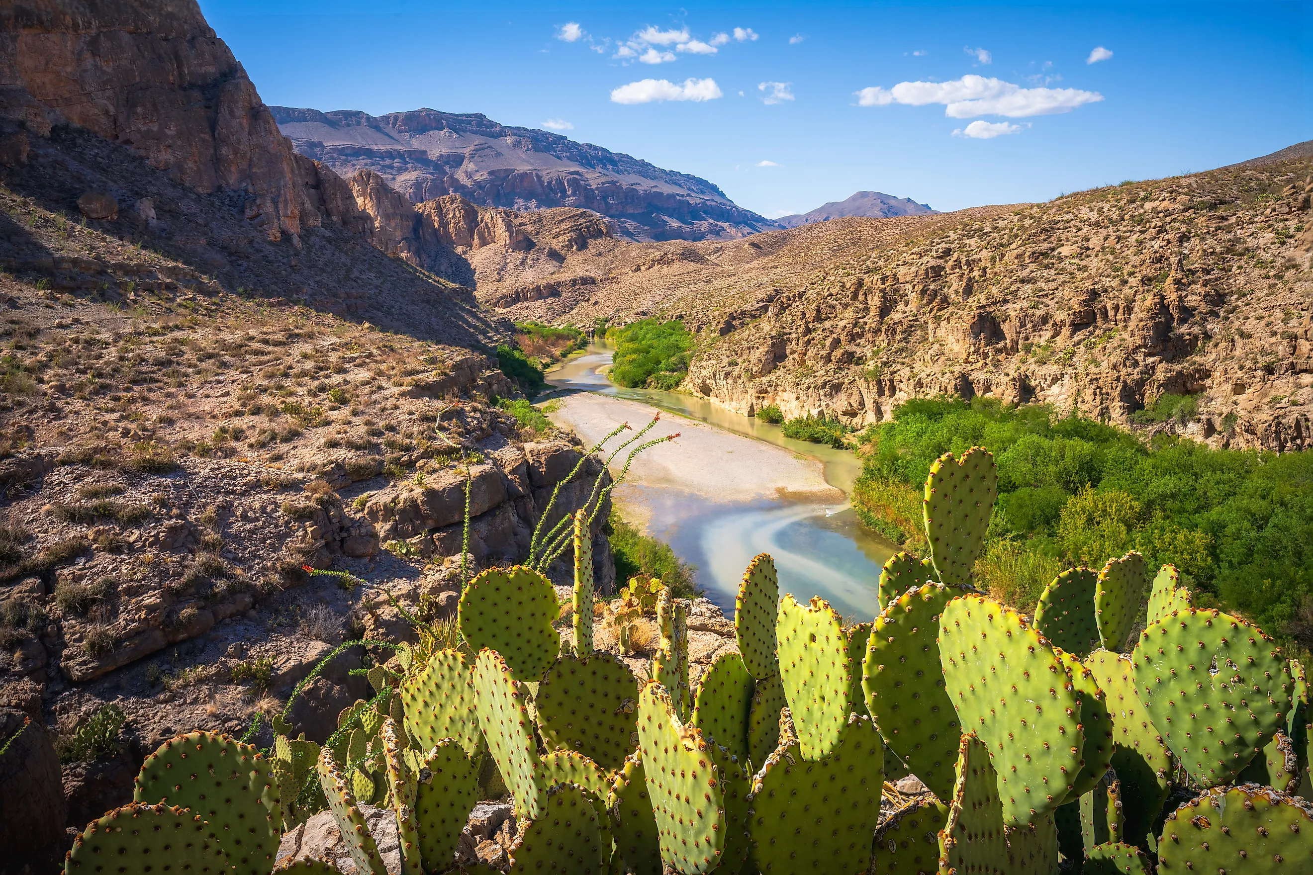
Brewster County is the largest county in Texas by land area, covering more than 6,000 square miles. Much of its southern boundary follows the Rio Grande through Big Bend National Park, where the river has carved dramatic canyons into the surrounding mountains and desert. Santa Elena Canyon, Mariscal Canyon, and Boquillas Canyon are among the park's most distinctive features. The county also contains the Chisos Mountains and communities such as Terlingua, known for its historic ghost town. Farther north, Alpine serves as a regional centre and is home to Sul Ross State University.
Terrell County

Terrell County is among the most sparsely populated counties in Texas, with an estimated 702 residents in 2025. Covering approximately 2,357 square miles, it has fewer than one resident per three square miles. The Rio Grande forms its southern boundary, passing through isolated canyon country where road access is limited. Much of the county consists of rugged limestone terrain, ranchland, and valleys draining toward the river. Sanderson, the county seat, lies along US Highway 90, the area's principal transportation route. The county's remoteness has preserved extensive stretches of undeveloped borderland.
Val Verde County

Val Verde County contains one of the Rio Grande's most significant reservoirs, Amistad, northwest of Del Rio. Created by the construction of Amistad Dam, the international reservoir stores water for conservation, flood control, and hydroelectric generation. The Pecos River joins the Rio Grande near the reservoir's upstream end, while the Devils River flows into the reservoir's northern arm. Amistad National Recreation Area provides boating, fishing, and other outdoor activities along the reservoir's shoreline. Del Rio serves as the county's principal city, while nearby Laughlin Air Force Base supports military aviation training and contributes to the local economy.
Kinney County

Kinney County has a relatively short stretch of Rio Grande frontage along its southwestern boundary. The county lies where the Edwards Plateau meets the Rio Grande Plain, with rugged hills in its northern reaches and lower terrain toward the river. Brackettville, the county seat, is inland along US Highway 90. The community developed near Fort Clark, a former military post established in 1852. Las Moras Springs, which supplied water to the fort, remains a notable local landmark. Compared with neighbouring Val Verde and Maverick counties, Kinney has relatively little developed riverfront.
Maverick County

Maverick County occupies a narrow stretch of the border, with Eagle Pass serving as its principal city and county seat. Across the Rio Grande lies Piedras Negras, Mexico, connected to Eagle Pass by international bridges. These crossings support trade and transportation between the two countries. Agriculture is another established activity, with irrigation supporting farming near the river. Smaller communities, including Quemado, occupy parts of the county outside Eagle Pass. The Rio Grande remains central to the county's geography and cross-border connections, while Eagle Pass functions as an important commercial centre for the surrounding region.
Webb County

Webb County is centred on Laredo, one of the busiest international trade gateways in the United States. Located across the Rio Grande from Nuevo Laredo, Mexico, the city handles substantial cross-border truck and rail traffic. In 2025, Laredo ranked among the nation's leading ports by the total value of international trade, reflecting its importance to North American supply chains. The county had an estimated 281,224 residents in July 2025. Transportation, warehousing, and international commerce are significant parts of the local economy. Beyond Laredo, much of Webb County consists of ranchland and the brush-covered terrain characteristic of South Texas.
Zapata County

Zapata County's relationship with the Rio Grande changed substantially during the construction of Falcon International Reservoir in the early 1950s. The reservoir, shared by the United States and Mexico, was created for water conservation, irrigation, flood control, and hydroelectric generation. Its construction inundated farmland and historic settlements along the river, forcing the relocation of communities including Zapata, Falcon, and Lopeño. Zapata, the county seat, was rebuilt on higher ground near the reservoir. Today, Falcon Reservoir supports fishing and other recreational activities, while its water remains important to communities and agricultural operations downstream.
Starr County

Starr County lies immediately downstream from Falcon Dam, a major international structure completed in the 1950s. The dam helps regulate water entering the Lower Rio Grande Valley, although additional diversion and control structures operate farther downstream. Starr County's terrain is considerably lower than the mountains and plateaus of West Texas, consisting largely of rolling plains and river valleys. Communities along the border include Rio Grande City and Roma, both of which have longstanding historical and cultural connections with Mexico. Roma's historic district preserves examples of nineteenth-century architecture overlooking the Rio Grande.
Hidalgo County

Hidalgo County is the most populous of Texas's 13 Rio Grande border counties, with an estimated 921,549 residents in July 2025. Its principal urban centres include McAllen, Edinburg, Mission, and Pharr, forming part of the rapidly developed Lower Rio Grande Valley. International bridges connect the county with neighbouring communities in Mexico, including Reynosa. Agriculture has historically been important, supported by irrigation systems drawing water from the Rio Grande. International trade, healthcare, and other services also contribute to the regional economy. Much of the county occupies low-lying terrain that gradually descends toward the Gulf Coastal Plain.
Cameron County

Cameron County is the final Texas county along the Rio Grande before the river reaches the Gulf of Mexico near Boca Chica. Brownsville, the county's largest city, stands opposite Matamoros, Mexico, and is connected to it by international bridges. Harlingen and South Padre Island are among the county's other prominent communities. Near the coast, the Rio Grande passes through low-lying terrain associated with coastal wetlands and the river's delta. South Padre Island separates the Laguna Madre lagoon system from the Gulf of Mexico. Cameron County also marks the southwestern end of the Gulf Intracoastal Waterway, which extends eastward along the Gulf Coast toward Florida.
Rio Grande Border Counties Across Texas
From El Paso County's urban border crossings to the remote canyons of Brewster and Terrell counties, the Rio Grande passes through some of Texas's most varied terrain. Farther downstream, international trade becomes especially prominent in Webb and Hidalgo counties, while reservoirs provide water storage and flood control. In Cameron County, the river reaches the Gulf of Mexico near coastal wetlands and barrier islands. Together, these 13 counties demonstrate the Rio Grande's importance as an international boundary, a water resource, and a defining geographic feature of Texas.