12 Tiny Off-Grid Towns In New York
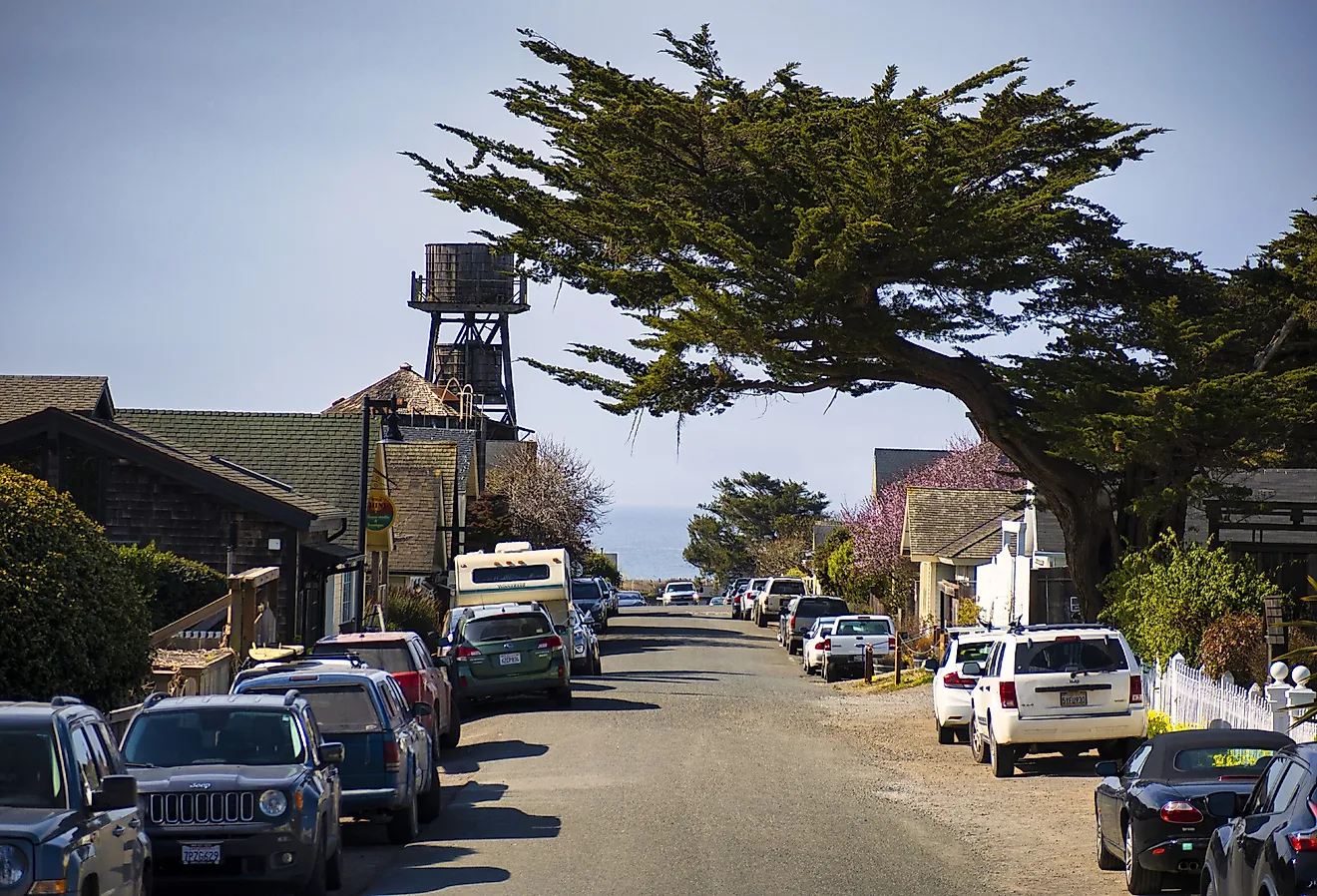
In off-grid parts of rural New York, grocery stores, fuel stations, and pharmacies often sit miles away. Cell service fades once roads leave main highways. These conditions appear across the Catskills, Adirondacks, and Tug Hill Plateau, where small populations spread across forests, farmland, and mountain valleys.
Winter storms and falling trees interrupt power and internet across remote utility lines. Many homes depend on private wells and heat with propane, oil, or wood stoves instead of municipal systems. The towns in this list reflect those realities. Small populations, long distances between services, and rugged terrain continue to shape how people manage travel, supplies, and utilities.
Denning

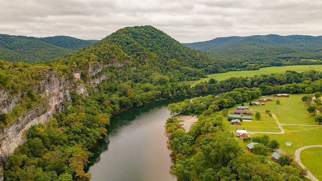
Denning lies deep in the western Catskills, spread across wooded valleys and widely spaced homes. No grocery stores, gas stations, or restaurants operate within town limits. William Denning purchased large sections of the surrounding land in the early 1800s, and the town later adopted his name.
The first recorded settler arrived in 1837. Supply trips require planning, with groceries typically involving a 27-mile drive to Boiceville Supermarket. The nearest fuel station is about 13 miles away in Neversink.
Cell service weakens quickly outside the main roads. Storms sometimes knock out electricity when falling trees damage overhead utility lines. Sundown Wild Forest borders the town. The forest provides hiking routes, fishing streams, waterfalls, and mountain terrain.
Cold Brook

Cold Brook, a village in Herkimer County, has about 250 people living among steep hills and forested countryside. The stream that runs through the center of town gave the Herkimer County village its name. Settlement began in the early 19th century, when local water power supported small mills along the stream.
One reminder of that period still stands along Route 8. Workers built the Cold Brook Feed Mill in 1857, and the structure remains one of the village’s most recognizable buildings. The National Register of Historic Places added the mill in 1974.
Basic services remain limited. No grocery stores or gas stations operate within the village limits. Fuel requires a 3-mile drive to Poland. Larger grocery stores are roughly 20 miles south in Little Falls. Hinckley Reservoir is just north of the village. It attracts anglers, campers, and boaters to the surrounding forest.
Livingstonville

Creek valleys and farm fields surround Livingstonville, a small hamlet in southern Schoharie County within the town of Broome. Catskill Creek meets Lake Creek near the center of the community. Narrow rural roads connect scattered homes and farms across the surrounding hills.
Farmers began settling this part of the Schoharie Valley during the early 18th century. Rugged terrain in the northern Catskills limited transportation routes and slowed development. Most people drive 10 miles to Middleburgh for groceries and basic services. Valley Market serves as the nearest store.
Storms sometimes raise water levels along the creeks, while wind and ice can damage overhead lines and cause short power interruptions. Farms and forest roads cover much of the surrounding countryside.
North Blenheim

With a population of a little over 100 people, North Blenheim is a small rural hamlet along Schoharie Creek in Schoharie County. Houses and farms spread across the valley floor, and wooded hills rise on both sides.
Builders completed the Old Blenheim Bridge in 1855. The wooden structure once held the record as the longest single-span covered bridge in the world. Floodwaters from Hurricane Irene destroyed the original bridge in 2011. Workers opened a reconstructed bridge in 2019.
People usually travel 13 miles to Middleburgh for groceries at Valley Market. The Blenheim-Gilboa Visitor Center overlooks the nearby hydroelectric dam and reservoir that dominate this section of the Schoharie Valley.
Big Indian

Big Indian is a Catskills hamlet along Route 28 about 17 miles west of Woodstock. Much of the land around the hamlet remains forested. Homes appear in small clusters along the highway and nearby creek valleys. Most supplies, including groceries and fuel, come from the village of Fleischmanns.
Fleischmann’s Supermarket & Liquor Store is about 6 miles away and serves as the closest supply stop. Local folklore connects the hamlet’s name to a Munsee Native American known as Winneesook. Stories about his life became part of local Catskill legend.
The Rochester Hollow Trailhead attracts hikers to the surrounding forest. Mountain streams and wooded slopes shape the terrain in this section of the Catskills. Cell service weakens in nearby valleys where mountains block tower signals.
Childwold

Tourism helped establish Childwold in the late 1800s when Addison Child opened the Childwold Park Hotel near Massawepie Lake. Logging operations and railroads later brought workers through this remote part of the Adirondacks.
About 60 people live here today, with homes and cabins lining sections of Route 3 and large forests surrounding the community. Winters bring heavy snowfall, and snowmobile trails cross nearby woods and wetlands.
Most supply trips requre a 14-mile drive to Tupper Lake. Nearby, Grass River Flow attracts anglers, paddlers, hunters, and campers looking to spend time on the water or in the surrounding forest. In winter, snowmobiles sometimes outnumber cars.
Halcott

Vly Creek carved the narrow valley that forms the center of Halcott, a Catskills town with about 252 residents. Steep mountains surround the valley and limit direct road connections to neighboring communities. The Valkenburg family established farms here around 1813, beginning permanent settlement in the area.
New York formed the town in 1851 and named it after Sheriff George W. Halcott. Most travel into Halcott passes through the Delaware County village of Fleischmanns to the south, which also provides the nearest grocery stop. Fleischmann’s Supermarket & Liquor Store is about 5 miles away. Bearpen Mountain attracts hikers in warmer months and snowmobilers in winter once snow covers the slopes.
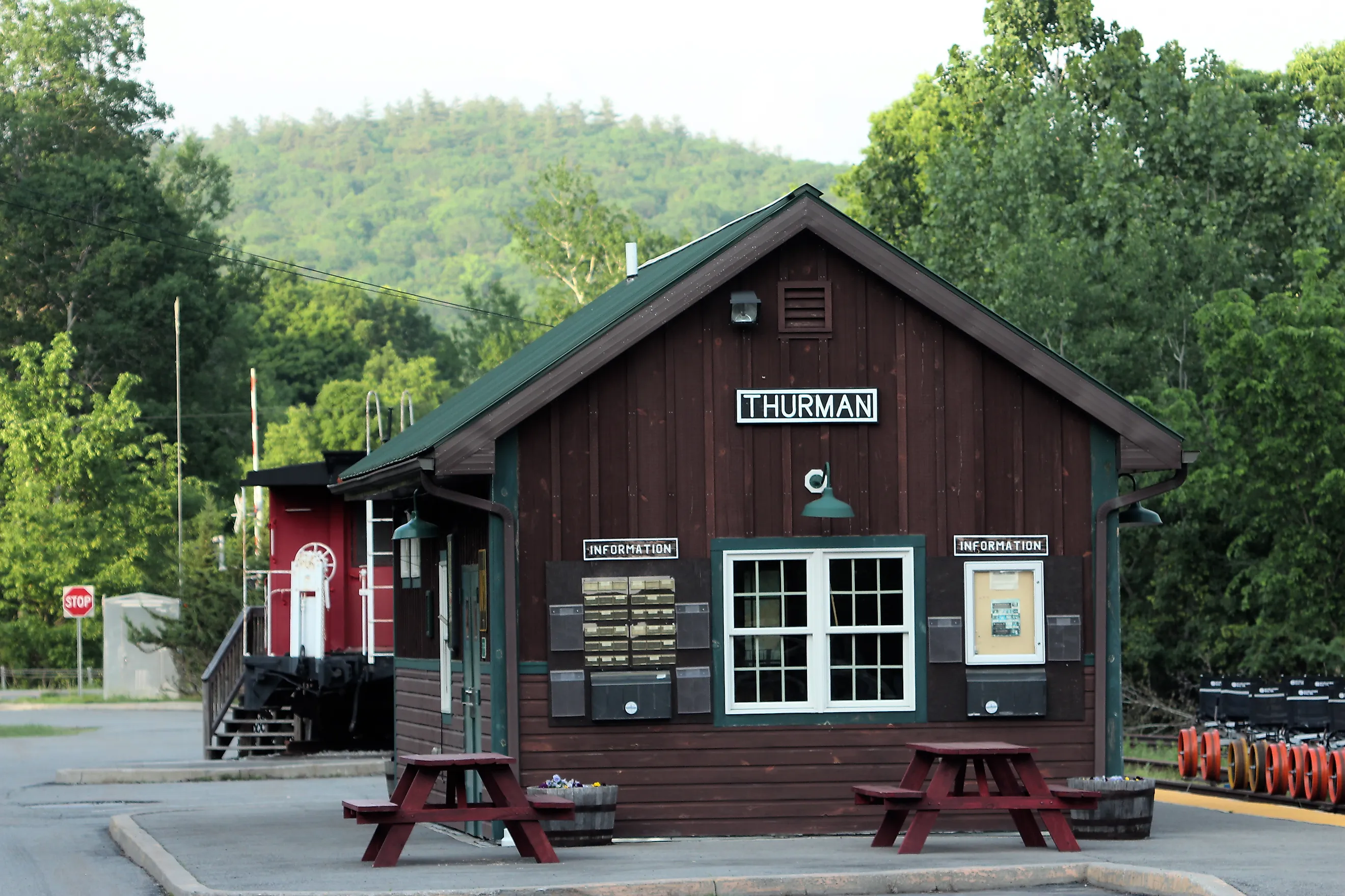
Thurman

Forests and farmland cover much of Thurman, a town west of Warrensburg that lies entirely within Adirondack Park. Rural roads connect scattered homes, small farms, and forested hillsides across the valley.
Landowner John Thurman encouraged farming in the region around 1790, and early settlers soon established farms throughout the area. The original town once covered a much larger territory before later divisions created several neighboring communities. New York restored the present Town of Thurman in 1853.
Supply trips usually mean a 9-mile trip to Grand Union in Warrensburg, which serves as the primary grocery store. The town also operates the Thurman Food Pantry, which distributes food to local families. Maple farms, hiking trails, and quiet backroads shape much of the surrounding landscape.
Neversink

Long backroads wind through farmland and forest across the Town of Neversink in Sullivan County, where small hamlets and scattered homes sit between open valleys. The town formed in 1798 and later became part of Sullivan County after boundary changes in the early 19th century.
Construction of the Neversink Reservoir in the mid-20th century flooded nearby communities and reshaped the surrounding landscape as part of the municipal water supply system.
A Dollar General operates within town limits, but most shopping requires an 8.5-mile drive to Liberty for groceries and pharmacies. The Neversink Reservoir Overlook offers wide views of the reservoir and the surrounding Catskill Mountains.
Osceola

Osceola NY, historic town hall, originally Osceola Methodist Church. Editorial credit: Wikimedia Commons
Osceola stretches across the Tug Hill Plateau, where about 240 people live among forests, hills, and widely spaced homes and camps. Settlement began around 1838, and New York formed the town in 1844 from part of West Turin.
The town took its name from the Seminole leader Osceola. Tug Hill receives some of the heaviest snowfall in New York State, with annual totals that often exceed 200 inches. Winter storms regularly slow travel or close rural roads. The nearest supermarket for a full grocery run is Tops Friendly Markets, about a 13-mile drive to Camden.
Esperance

The town of Esperance takes its name from the French word espérance, meaning hope. European settlers established Kniskern's Dorf in 1729 near the meeting of Cobleskill and Schoharie Creeks in what is now Schoharie County. New York formed the town in 1846.
Farms and rural roads now spread across the valley, while small hamlets such as Sloansville and Central Bridge serve as the centers of community life. The town’s Hannaford store provides the main grocery and pharmacy stop. Landis Arboretum preserves hundreds of acres of rare trees, gardens, and forest overlooking the Schoharie Valley and provides walking trails through the landscape.
Treadwell

Treadwell began as a small agricultural settlement known as Croton during the early 19th century before the community adopted its current name. The hamlet is located within the Town of Franklin in Delaware County, where farmland and wooded hills surround a small cluster of buildings that form the center of the community.
Local farms once supported a larger agricultural economy across the valley. Today, many people drive about 13 miles to Oneonta for groceries, healthcare services, and other retail needs. The Franklin Stage Company hosts summer theater productions that draw visitors to this quiet section of the Catskills.
The Remote Side of Small-Town New York
In these towns, distance still shapes the basics. Groceries require planning, fuel stops matter, and winter storms can shut down roads for days. Many of these communities developed long before modern highways and large service networks reached the mountains. Small populations and remote terrain kept development modest. As a result, isolation still influences travel, supply planning, and seasonal work in these areas.