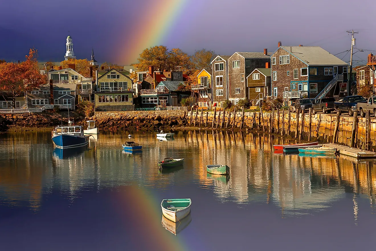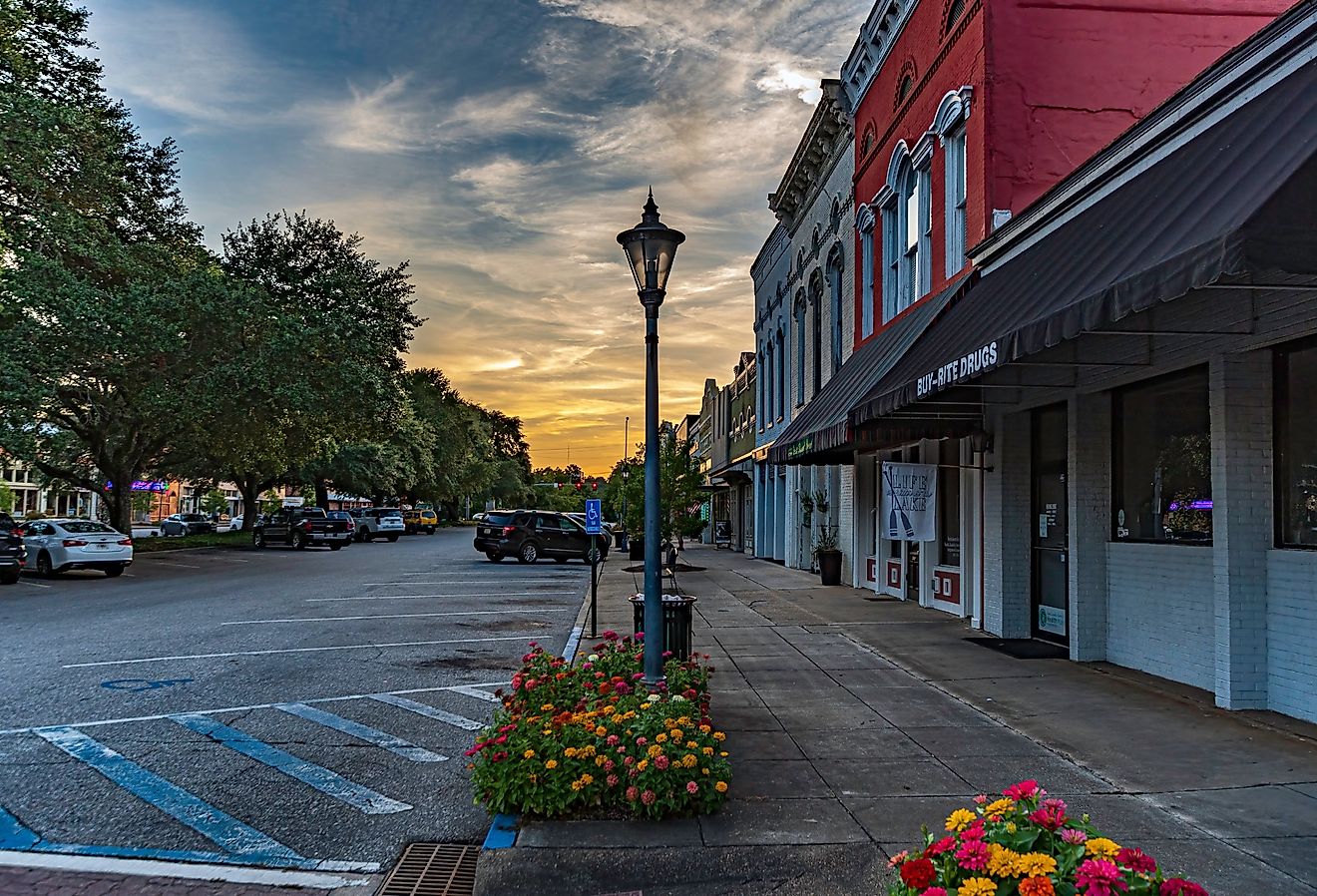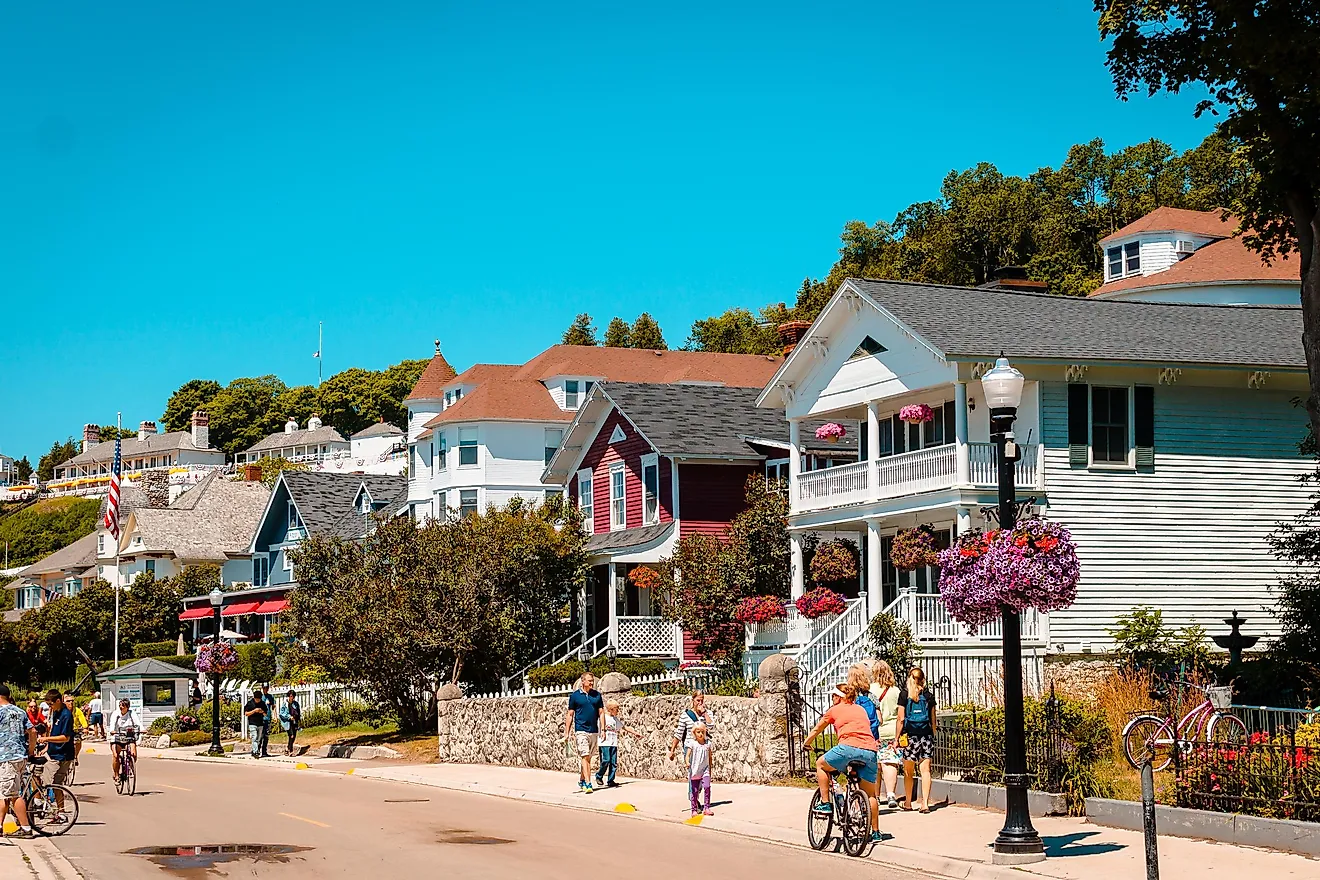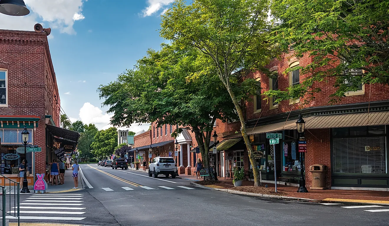
This Quiet North Carolina Town Is An Underrated Gem For Nature Lovers
Burnsville is a small town in western North Carolina that makes a big claim. This self-styled “Hiking Capital of Western North Carolina” has almost 100 miles of public trails and is home to Mount Mitchell. At 6,684 feet, Mount Mitchell is the highest mountain east of the Mississippi River. The town sits right off the Blue Ridge Parkway and is designated a dark sky park. For travelers who care about nature, it’s a worthwhile detour.
North Carolina’s First State Park

The main reason nature lovers should make the trip to Burnsville is Mount Mitchell State Park. This 4,789-acre parcel of land in the Black Mountains became North Carolina’s first state park in 1915 after the government purchased the entire mountain. It was a shrewd move, and one that has kept this 6,684-foot peak, the highest east of the Mississippi River, unspoiled.
The park is named for Dr. Elisha Mitchell, the University of North Carolina science professor who first measured the peak in 1835. He died on the mountain 22 years later while attempting to verify his calculations. His grave sits at the base of the summit observation deck.
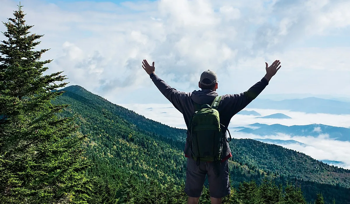
The Mount Mitchell Summit

Reaching the summit of Mount Mitchell is easy. A paved quarter-mile path leads from the car park at the end of NC 128 off the Blue Ridge Parkway to the raised observation platform with its 360-degree views. The exhibits at the summit cover the park’s geology, plants, and wildlife. A restaurant operates from spring through fall.
For hikers wanting more than an easy walk, the two-mile Old Mitchell Trail is an alternative route to the summit. It winds through the same kind of spruce-fir forest ecosystem common to Canada. For backpackers, the park’s family campground operates May through October with nine tent-only sites, picnic tables, grills, and seasonal restrooms.
Mount Mitchell State Park is especially popular with birdwatchers. More than 90 species are known to inhabit the park, including golden-crowned kinglets, saw-whet owls, and red crossbills.
Hiking the Black Mountains

The Black Mountains that surround Burnsville form the highest range in the eastern United States and can be traversed via the Black Mountain Crest Trail. This 11.5-mile route connects Bowlens Creek just outside Burnsville to the Mount Mitchell summit. Along the way, it crosses the largest collection of 6,000-foot peaks on this side of the country, including Celo Knob, Cattail Peak, Balsam Cone, Big Tom, and Mount Craig. The route gains roughly 5,800 feet of elevation, with most hikers tackling it as a two- or three-day backpacking trip with a camp at Deep Gap.
Less ambitious hikers have options too. Roaring Fork Falls is reached by an easy half-mile walk along a forest service road off NC 80, ending at a 100-foot cascade that is especially pretty when the rhododendrons bloom in spring. A few miles further south, Crabtree Falls drops 70 feet over a granite face and is reached by a 2.5-mile loop.
Closer to town, the Mountains-to-Sea Trail runs through Yancey County on its 1,175-mile route across the state to the Outer Banks, with several day-hike access points off NC 80. The NC High Peaks Trail Association, a Burnsville-based volunteer group, maintains many of these trails and publishes a printable map of routes across Yancey, Mitchell, and Avery counties.
The South Toe River

When the heat builds, locals head for the South Toe River. Designated as the Burnsville Mountain Heritage Trout Water, it flows from the Black Mountains past Burnsville and includes the Carolina Hemlocks Recreation Area. Part of the Pisgah National Forest, the 36-site campground there is open for campers from mid-April through to the end of October.
The swimming holes are considered some of the cleanest in the region, a welcome bonus for tubers and kayakers floating the gentler stretches of the river. The river is also popular with anglers fishing for trout and smallmouth bass. Guided river experiences are available too. Southern Appalachian Anglers and Burnsville Anglers both run wade and float fly-fishing trips on the South Toe and adjacent waters, targeting the rainbow, brown, and brook trout that thrive in the cold mountain water.
Closer to downtown Burnsville, Cane River Park is a strong option for picnics, riverside strolls, and biking on the level terrain along the Cane River.
Stargazing at Mayland Earth to Sky Park

When the sun sets, Burnsville draws a different crowd of nature lovers: stargazers. The Mayland Earth to Sky Park is a six-acre site operated by Mayland Community College and was the International Dark-Sky Association’s first sky park in the region. At an elevation of 2,736 feet, the grounds include moon gardens planted with white-flowered species that show up well in moonlight, and the Glenn and Carol Arthur Planetarium with its 36-foot projection dome.
The star attraction is the Bare Dark Sky Observatory. It houses the “Sam Scope,” a large custom-built Newtonian telescope. A smaller 14-inch Meade planetary telescope handles closer targets like the Moon and the rings of Saturn. Sessions are ticketed and last about two hours. There’s also a network of short interpretive trails, including walks devoted to nighttime pollinators like the Primrose moth, whose host plant is the evening primrose growing in the moon gardens.
Another attraction that makes Burnsville a strong destination for nature lovers is the Mountain Gardens. Once a private collection, this botanical garden holds the region’s largest collection of native Appalachian plants, along with Chinese medicinal herbs. Home to over a thousand species, it’s open to the public for self-guided wanderings, with workshops and the on-site apothecary worth checking out.
An Unsung Paradise for Nature Lovers
While Burnsville doesn’t draw the crowds of neighboring Asheville, it’s a place nature lovers should get to know. For travelers willing to trade tourist crowds for mountain views, dark sky stargazing, and cold-water rivers, Burnsville is a North Carolina town worth a closer look.