Which States Border Delaware?
Delaware is the second smallest and most densely populated state in the United States. The state has three counties namely Kent, Sussex, and New Castle making them the fewest counties borne by a state in the US. The state shares its boundaries with New Jersey, Pennsylvania, and Maryland. Most of the state’s vital infrastructure such as railways and highways pass through its neighboring states.
Establishing the Borders of Delaware
The territory on which Delaware sits was initially claimed by the Dutch, Swedes, and the Calvert Family which had obtained the charter to Maryland which included present-day Delaware and parts of Pennsylvania. The Dutch and Swedes began settling in Delaware in the 1630s, but after some wars, they were squeezed out by the English. By 1674 Delaware was occupied entirely by the English. The territory of Delaware was originally defined on March 1682 as a gift from King Charles II to the Duke of York, James who was his brother. It included territory with 12 miles of New Castle, south to Cape Lopen. The Duke of York later gifted the territory to William Penn as payment that was owed to Penn's father by the royal family. This transaction, however, meant that the Calvert family was going to lose part of their territory. Penn later asked King Charles for additional territory near his charter to Pennsylvania to obtain better sea access. The Duke of York was however uncomfortable with the suggestion as he wanted to ensure Penn stayed away from New Castle. The Duke, therefore, wanted a 20 to 30-mile radius established around New Castle. Penn managed to have the radius reduced to 12 miles. The circle was drawn from the courthouse cupola. The survey determining the arc was extremely difficult at the time and resulted in errors and a curve that had some different radii. Penn later sailed to Delaware in 1682 and added the newly obtained land to Pennsylvanian.
Creating the Border with Maryland
After arrival, Penn also began negotiations with the Calvert Family to determine the borders. The dispute between the two was resolved three years later by the British commissioner for trade and plantations in a compromise that was acceptable to all. Following the settlement, the Delaware Peninsula was divided along the 40th parallel and the Cape Henlopen latitude. Maryland’s claim to the Delaware territory was denied because the Commissioner found that its charter only laid claim to land that was uncultivated by Christians. The Calvert Family had to keep territory to the west and south of the border lines. Over the years the number of eligible taxpayers in Delaware grew leading to an increase in dispute with the Calvert Family. The new dispute was settled through an agreement reached on May 10, 1732. The new agreement established that the border would run west from Cape Henlopen to a midpoint in the peninsula and then towards the north to the point of the tangent to the 12-mile circle around New Castle. The map placed Cape Henlopen at Fenwick Island resulted in a further 800 square mile loss of territory by Maryland. The small bulge on the northern end of the tangent is referred to as the Arc Line and represents the reach of the 12-mile circle to the west.
Revision of the Border with Pennsylvania and Maryland
Charles Mason and Jeremiah Dixon were commissioned in 1763 to survey the border at Philadelphia's southern edge leading to the creation of the border, and the survey led to further loss of land by Maryland which held that the border was at the 40th parallel. By the year 1768, about 179 stone markers had been erected along the border. Some of the markers however disappeared leading to new calls in the 1840s to have a new survey, markers, and interpretation on land assignment. The resulting Graham Survey moved a 714-acre triangle to the west of the arc, and the top of the wedge line from Delaware to Pennsylvania. The wedge became no man's land and lawless. Illegal activity including gambling and bootlegging was increasingly carried out in the neglected territory. Lawless in the wedge led to a subsequent survey ten years later that reunified the wedge to Delaware. While the sickle-shaped stretch of land known as the Horn was transferred to Pennsylvania.
Delaware's Border with New Jersey
The border with New Jersey was established during the formation of Delaware. Disputes between the two states over the border were brought to the limelight in 1905. The then New Jersey-Delaware compact covered civil processes, crime, and fishing but did not define which state owned the land under the water. The state of New Jersey claimed that the border was supposed to be the middle of the shipping channel while the state of Delaware held that it owned all territory within the 12-mile circle. A US Supreme court in 1934 ruled in favor of Delaware. The ruling led to more dispute between the two states over matters such as taxation in the disputed area. The disputes include ownership of Killcohook, an uninhabited piece of land that is attached to the state of New Jersey but is technically and legally part Delaware and another piece of land which is attached to an artificial island belonging to New Jersey but is technically in Delaware. The latest dispute between the two neighbors arose in the year 2007 when the BP oil company was trying to establish a Liquefied gas pipeline and Loading station on New Jersey's section of the Delaware River. The project was stopped by Delaware which noted that the project involved dredging its territory. The US Supreme Court determined the matter in favor of Delaware in 2008.
Current Status
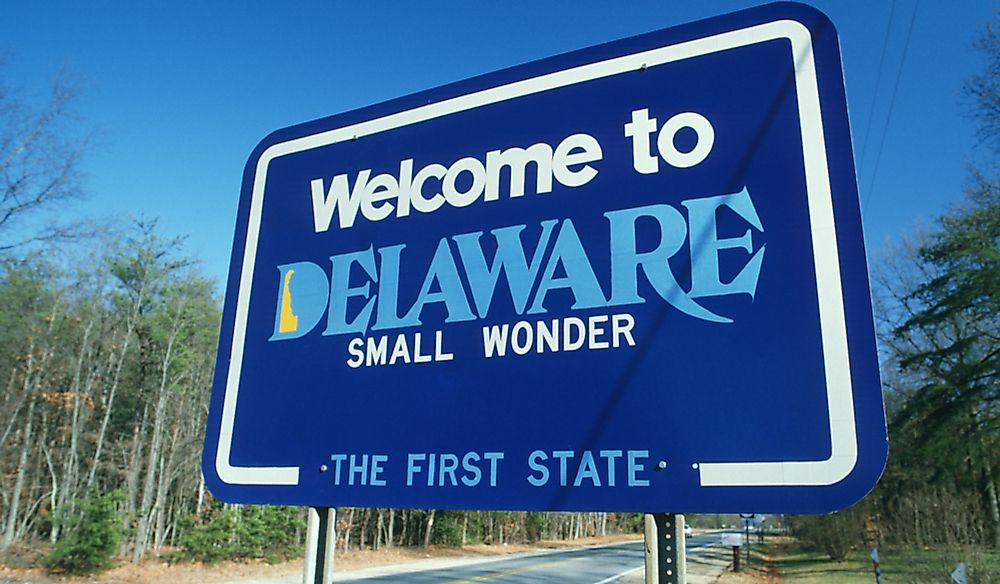
The state of Delaware was among the 13 colonies which took part in the American Revolution and on December 7, 1787, it became the first state to ratify the constitution of the US and since that time Delaware has always been known as “the first state.” Despite being that first state, some of Delaware's borders remain disputed. The state’s borders look quite simple on paper with the famous arc at the top, and straight borders with Maryland to the west and south but the actual border lines are however not that perfect. The state is currently home to 961,939 people and has its capital in Dover.


