Great Dividing Range
The Great Dividing Range, also called the Eastern Highlands, Great Divide, or Eastern Australian Cordillera, is a series of low mountain ranges, rolling hills, and plateaus in eastern Australia, extending roughly parallel to the country’s east coast. It is the world’s 5th longest mountain chain and the longest range located entirely within a country. It extends for more than 3,500 kilometers from north to south and runs through the Australian states of Queensland, New South Wales, and Victoria. The range is eastern Australia’s main watershed and the source of several rivers, including Snowy, Murrumbidgee, and Lachlan Rivers. Mount Kosciuszko, Australia’s highest point, is located in the Snowy Mountains in the southern part of the Great Divide.
Location
The Eastern Australia Cordillera is the most prominent mountain chain in Australia, containing the country’s highest mountains. The range runs parallel to the coasts of Victoria, New South Wales, and Queensland for about 3,500 kilometers with the width varying from 160 to 300 kilometers. It stretches from Dauan Island, located in the Torres Strait on the northern edge of the Cape York Peninsula, and terminates at the Wimmera plains. Major cities located along the range’s path include Roma, Warwick, Clermont, Cowra, Singleton, Canberra, Queanbeyan, and Cooma.
Geography

The Great Dividing Range is a cordillera system, comprising mountain ranges, escarpments, hilly highlands, and plateaus. The range includes the Australian Alps in southeastern Australia that runs through the Australian Capital Territory, New South Wales, and Victoria. The range also hosts the Gondwana Rainforest, Greater Blue Mountains Area, and the Wet Tropics of Queensland.
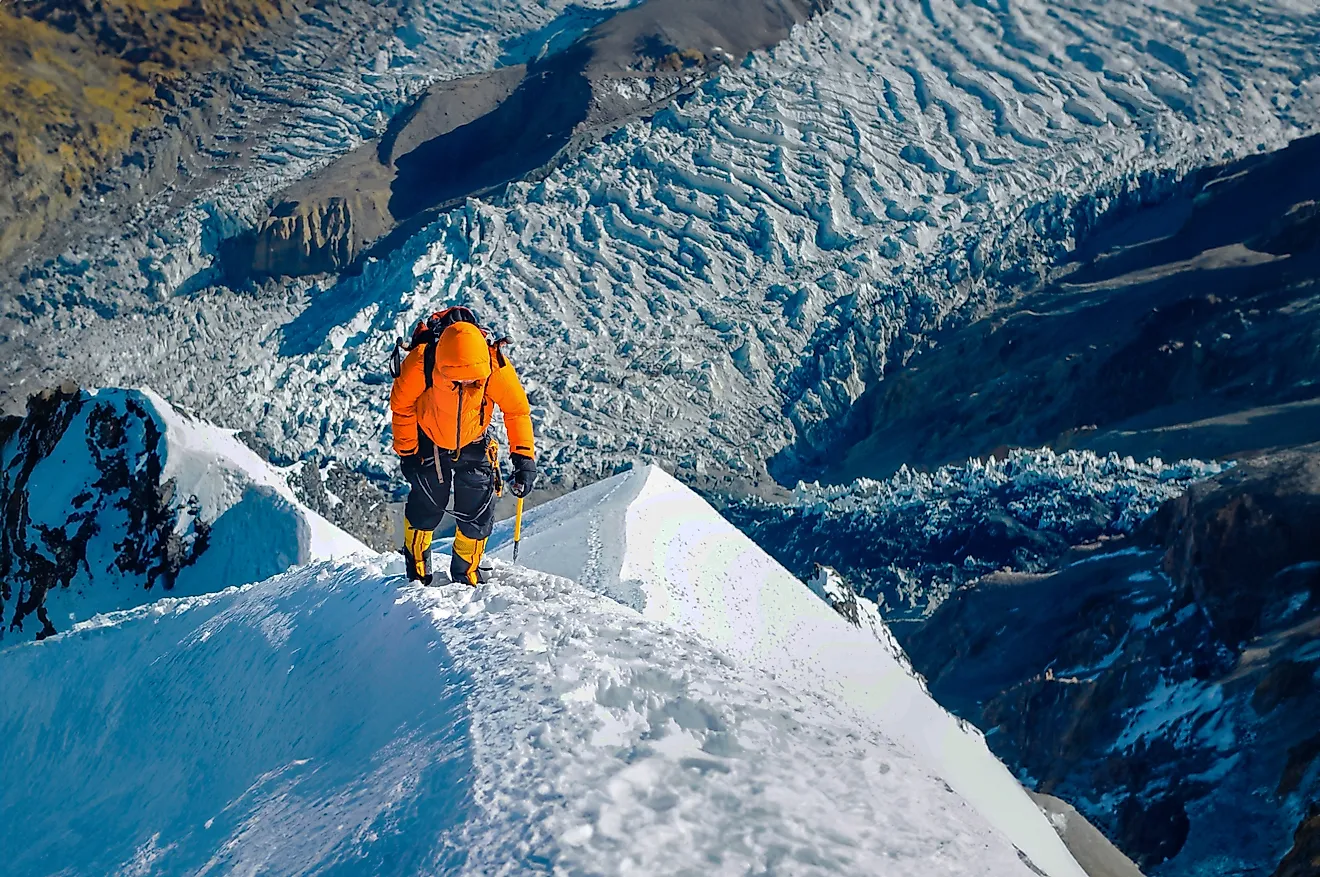
Topographically, the Great Divide begins in Queensland, where the elevation averages 600-900 meters. However, it rises to over 1,500 meters in Bellenden Ker Range. Further south, the range’s elevation averages 900 meters. The Australian Alps, straddling the Victoria-New South Wales border, is Australia’s highest mountain range, containing peaks rising over 2,000 meters above sea level. The Alps is divided into Victorian Alps and Snowy Mountains. The Snowy Mountains hosts the country’s five tallest peaks, including Mount Kosciuszko (2,228 meters).

The plateaus and mountains of the Great Divide, created by the folding and faulting process, consist of sandstone, limestone, dolomite, schist, and quartzite. The range’s ridge is defined by the boundary between the drainage basin of the coastal rivers and the streams on the western side. The rivers on the east and south drain into the neighboring water bodies, including the Pacific Ocean, Bass Strait, and the Tasman Sea, while those on the west flow westwards. The mighty Murray, Lachlan, Flinders, Macdonald, Herbert, Condamine, and Namoi Rivers are some of the rivers flowing west. The rivers flowing east into the Pacific Ocean include Burdekin, Brisbane, Clarence, Hasting, Hunter, Richmond, and Mary Rivers.
The range is eastern Australia’s principal water source and provides drinking water to over 10 million people. The runoff from the western slopes flows into the Great Artesian Basin, the only reliable freshwater source for most parts of mainland Australia. The rivers flowing along the mountain valleys supply water for projects like the Snowy Mountains and Upper Nepean Schemes.
Notable Natural Features

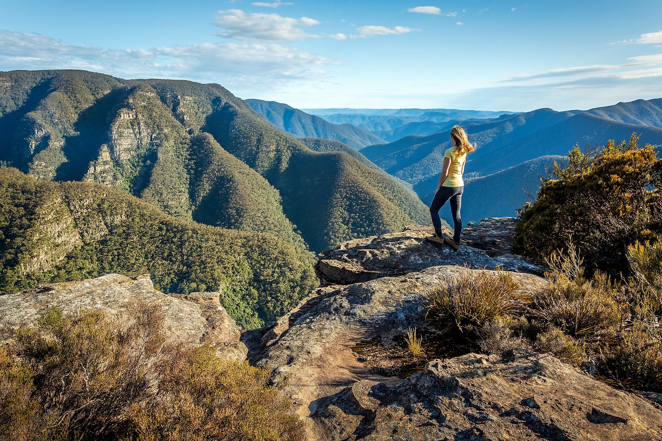
The Eastern Australian Cordillera comprises flat, well-watered areas developed for agriculture and livestock keeping. The flat areas include Darling Downs and Atherton Tableland in Queensland and Southern Tableland, Southern Highlands, and Northern Tableland in New South Wales. However, other parts consist of rugged terrain and are either protected as national parks or support forestry.
Australia’s alpine and subalpine areas are located in the Snowy Mountains, in a section between Dicky Cooper Bogong and Ramshead Range known as the Main Range. This area contains most of Australia’s tallest peaks, including Mount Kosciuszko, Mount Townsend, The Ramsheads, and Mount Tate. The Main Range resides in the Australian Alps, Australia’s highest region. The Great Divide’s central core contains numerous peaks, surrounded by plains, valleys, canyons, and smaller ranges. The High Plains adjacent to the Australian Alps were common summer grazing areas in the early 19th century. Other plains include Bogong High Plains, Central Highlands, and Southern Highlands.
Besides the plains, the Great Dividing Range also includes several smaller spurs or mountain ranges, including Liverpool Range, Blue Mountains, Barrington Tops, and Moonbi Range in New South Wales, Bunya Mountains in Queensland, and McPherson Ranges located at the NSW-Queensland border. The Scenic Rim, straddling the eastern NSW-South-East Queensland border, is part of the Gold Coast hinterland and contains forested mountain ranges like Mistake Mountains, Little Liverpool Range, and Tweed Range, and valleys such as Numinbah, Fassifern, and Lockyer. Numerous waterfalls, formed by the rivers dropping off the tablelands, characterize the eastern escarpment.
National Parks

Much of the Great Dividing Range is protected by the numerous national parks and reserve areas. There are more than 90 protected areas within the range that are designated as national parks. Some of the parks include:
Alpine National Park: Alpine National Park is Victoria’s largest national park, covering 6,474 square kilometers. It is located in the Alpine and Central Highlands region and covers much of the Great Divide in the state. The park hosts Victoria’s ten tallest peaks, including Mount Bogong, the state’s highest elevation at 1,986 meters. It was declared as an Australian National Heritage site in 2008.
Kosciuszko National Park: The Kosciuszko National Park covers 6,900 square kilometers, occupying NSW’s southeastern corner. It contains Mount Kosciuszko, the country’s tallest peak, and Cabramurra, Australia’s highest town. This park is also the source of the Murray, Snowy, and Murrumbidgee Rivers.
Blue Mountains National Park: The Blue Mountains National Park covers 2,680 square kilometers and is located in the NSW’s Blue Mountains region. Despite the name, the national park comprises mainly uplifted plateaus, with Mount Werong as the highest point at 1,215 meters. The mountains derived their name from the blue tinge that forms during summer.
Brief History

The Eastern Highlands formed when Australia collided with New Zealand and South America over 300 million years ago (during the Carboniferous period). Over the years, the range was eroded significantly, shaping some of the present mountains. Before the European arrival, the Great Divide was home to several Aboriginal Australian nations. Remains like trails, campsites, and decorated caves date back to 14,000 years.
Although the British colonized Australia in 1788, the range was a barrier to European migration westwards. However, Gregory Blaxland, William Charles Wentworth, and William Lawson discovered a suitable route across the Blue Mountains in 1813, with several towns in the area named after the three men. The discovery of the new route marked the beginning of agricultural development in New South Wales. Fertile land near the mountain ranges was explored extensively, and railway routes and roads were built in most parts of the range in the early 19th century.