Maps of Victoria
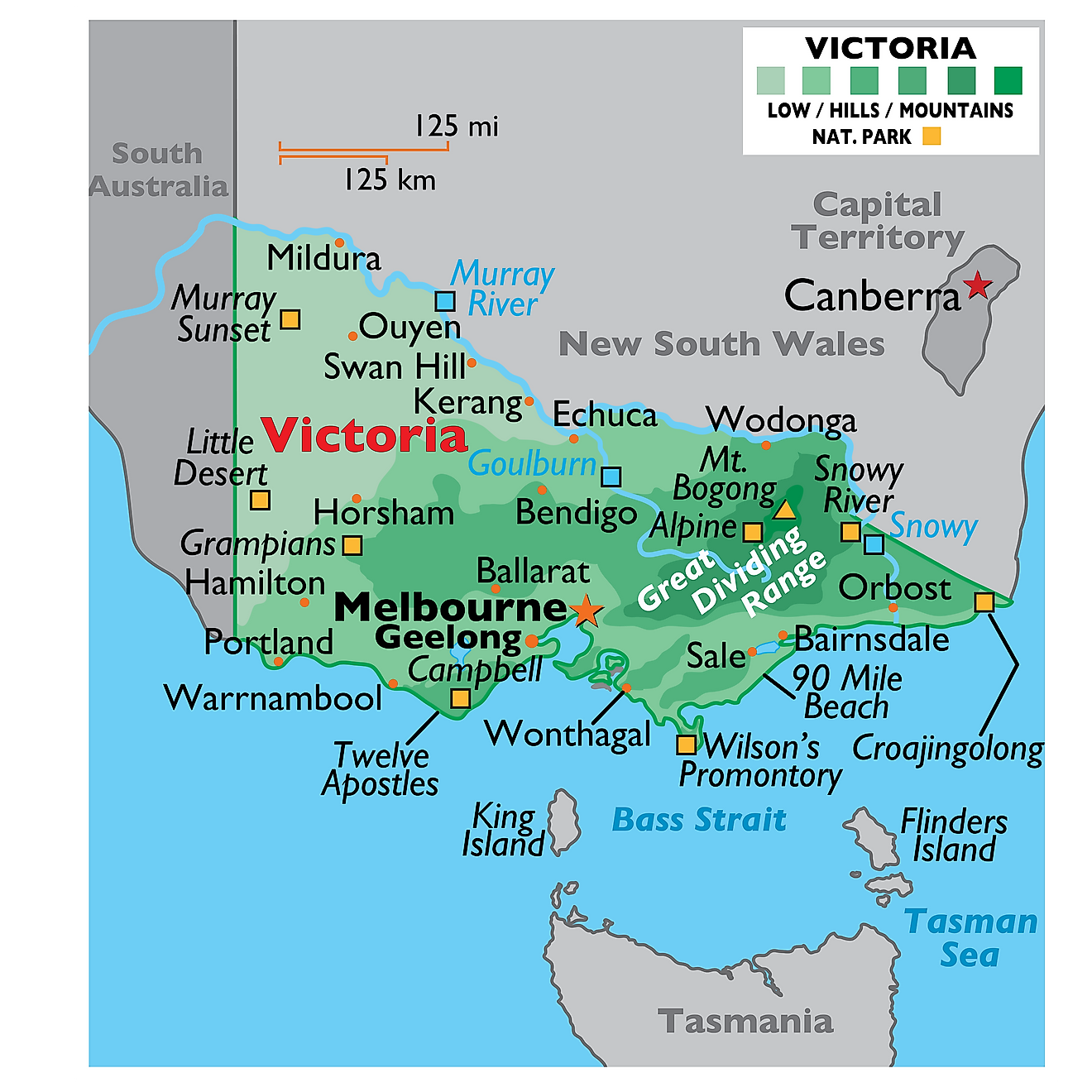
Covering a land area of 227,444 sq. km, the State of Victoria is located in the southeastern part of Australia.
As observed on the map, the eastern part of the state is dominated by the Great Dividing Range and its surrounding uplands. Situated within the Great Dividing Range, Mount Bogong which rises to an elevation of 1,986m is the highest point in Victoria. The Great Dividing Range extends westwards across the state and terminates at the Grampian mountain ranges.
The western and northwestern parts of the state are mostly flat and covered by extensive semi-arid plains. Some of the significant rivers in Victoria include the Murray, Snowy, Goulburn, along with other small and intermittent rivers. The lowest point of Victoria is the Bass Strait (0m).
Counties Map
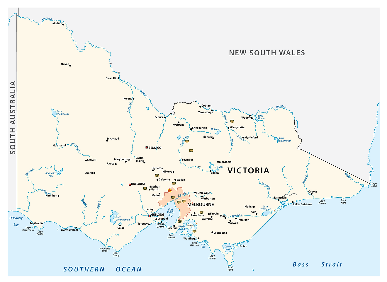
Victoria, located in southeastern Australia, occupies an area of approximately 87,817 square miles, making it the smallest mainland state in the country. To the north, Victoria shares its border with New South Wales, while South Australia lies to its west. The Southern Ocean stretches along its southern coast, providing an extensive coastline that boasts numerous bays, inlets, and peninsulas.
The geography of Victoria can be divided into several distinct regions. In the southeast, the Gippsland region extends from the eastern outskirts of Melbourne to the border of New South Wales. This area encompasses lush forests, extensive wetlands, and some of Australia's largest and most productive lakes, such as Lake Wellington, Lake Victoria, and Lake King. The Mitchell, Latrobe, and Thomson Rivers meander through Gippsland, providing vital water sources to the region's fertile agricultural lands.
The Great Dividing Range, a significant mountain range, runs through the central and eastern parts of Victoria. This range includes the Australian Alps, which are home to the state's highest peak, Mount Bogong, at 6,516 feet. The Alpine region is a popular destination for snow sports and features a number of ski resorts.
To the west of the Great Dividing Range lies the Central Highlands, a region characterized by rolling hills, deep valleys, and dense forests. The Yarra River flows through this region, providing Melbourne, Victoria's capital city, with its main water supply. The Goldfields region, so named for its historic gold-mining heritage, is found within the Central Highlands and features numerous historic towns and attractions.
Victoria's western region consists of the Grampians, an expansive mountain range known for its dramatic sandstone ridges, abundant wildlife, and striking waterfalls. The Wimmera River, the state's longest, snakes its way through the region, supporting diverse ecosystems and a variety of recreational activities.
The southwestern part of Victoria is home to the Great Ocean Road, a world-famous coastal route that offers breathtaking views of limestone cliffs, sandy beaches, and impressive rock formations, such as the Twelve Apostles. The region is also known for its rich maritime history and the picturesque Port Campbell National Park.
Finally, in the northwest, the Mallee region features vast stretches of semi-arid landscapes, characterized by low-lying shrubs and unique salt lake systems. The Murray River, Australia's longest river, forms Victoria's northern border with New South Wales. The river is an essential water source for agriculture and sustains numerous ecosystems, including the expansive Murray-Sunset National Park, which showcases the region's distinctive flora and fauna.
Where is Victoria?
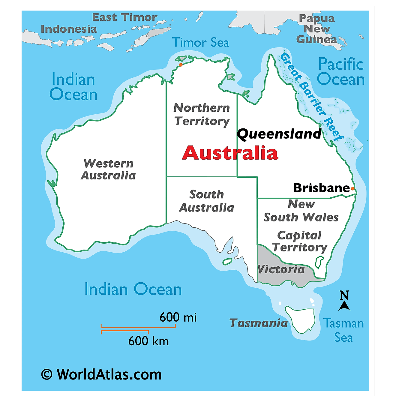
Victoria is a small state located in the southeastern part of Australia. It is geographically positioned in the Southern and Eastern hemispheres of the Earth. Victoria is bordered by the states of South Australia in the west and New South Wales in the north. It is bounded by the Bass Strait in the south; the Great Australian Bight in the southwest and the Tasman Sea in the southeast. The Bass Strait also separates Victoria from the neighboring Island State of Tasmania.
Regional Maps: Map of Oceania
Outline Map of Victoria
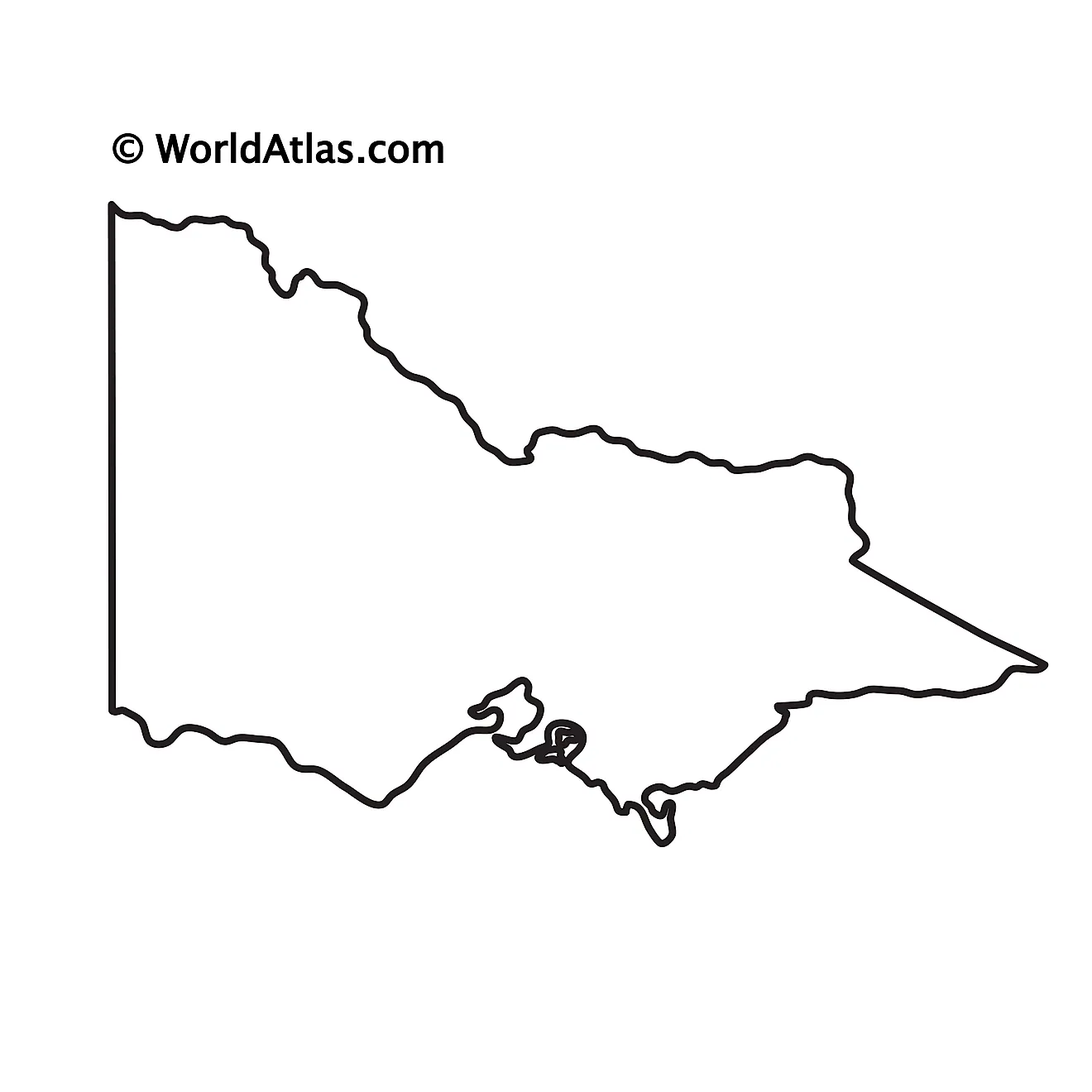
The above blank map represents the State of Victoria, located in the southeastern part of Australia. The above map can be downloaded, printed, and used for geography education purposes like map-pointing and coloring activities.
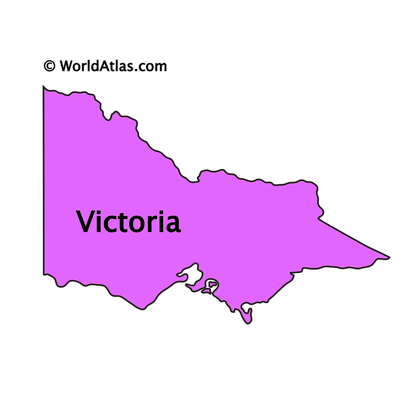
The above outline map represents the State of Victoria, located in the southeastern part of Australia.
Key Facts
| Legal Name | State of Victoria |
|---|---|
| ISO 3166 Code | AU-AU_VC |
| Capital City | Melbourne |
This page was last updated on April 10, 2023
