The 49th Parallel
When there’s a continent at stake, arguments over borders can make or break the peace across the whole region.
What happens when a continent has only two major nations? In the case of Canada and the United States of America, the 5,525 mile long line delineating the two nations is currently the longest undefended international boundary in the world, often cited as an example to the rest of the world of how two nations can cooperate.
Today, the countries are seen as model neighbours, but it took centuries of arguing, skirmishes, and outright wars to settle the matter of who got what in North America. Even after a century and a half of relative peace, today there are still a few areas that are still in dispute, and it doesn't show signs of being settled any time soon.
If you're interested in how this comparatively simple division of land occurred, here’s how it went down:
1700s

1775 - During the Revolutionary War, the American colonists hoped Quebec and Nova Scotia would be their allies against the British. The soon-to-be U.S. got impatient, though, and took matters into its own hands, invading its neighbor to the north and taking Montreal in the first big military maneuver of the war. A month later, they were pushed back in a major defeat known as the Battle of Quebec.

1783 - After the war, a victorious U.S. demanded that Great Britain give them Canada. Unsurprisingly, the British refused. The parties settled the boundaries, or so they thought, by using the 45th parallel as the northern border between New York and New Brunswick, and creating an imaginary line through the Great Lakes. No one knew much about what existed beyond the Mississippi River to the west, so those boundaries were left murky, to say the least.
1800s

1803 - The young United States made a very good deal with France, known as the Louisiana Purchase. For 15 million dollars, they bought a vast swath of territory that reached from Gulf of Mexico to the Rockies (or Stony Mountains, as they were called then). The British and the U.S. used the watershed between the Hudson Bay and the Mississippi/Missouri rivers to establish the northern border for the newly purchased lands. That turned out to be a bad idea, because the watershed was too flat to be measured accurately.
1812 - During the War of 1812, the United States invaded Canada again, not once, but twice, as a way of attacking British interests. Some Americans thought taking Canada would be a walk in the park, but they suffered a humiliating defeat in the Siege of Detroit, aided by the Native American Tecumseh. As well, British forces land near Washington D.C., burning the US Capitol and the Whitehouse.
In 1814, a treaty restored the original boundaries. Many Canadians fought during the war, which created a new sense of a national identity.

1818 - American settlers had streamed further west, encouraged by a belief in Manifest Destiny, which held that America was meant to stretch from coast to coast. That pressured Britain and the US to return to the border-negotiating table.
Surveyors were struggling against great odds to map exactly what existed in the largely rugged terrain. The powers-that-were decided to use a straight line - the 49th parallel - to demarcate the border up to the Rockies. Left unresolved was the mysterious land beyond, called Columbia in Canada and Oregon in the U.S.
For now, Britain and the U.S allowed it to remain open to whoever could survive out there. Surveying mistakes led to an anomaly that still exists, the Northwest Angle. It’s part of Minnesota, but if you want to go there by land, you have to travel through Canada, twice.

1846 - The agreement to keep the Oregon and Columbia territories neutral was falling apart. Thousands of Americans had stakes in the region, and the U.S. was pushing hard against Britain’s Hudson Bay Company, which controlled Canadian interests. President James K. Polk demanded that U.S. territory be extended northward, past the 49th parallel.
The slogan “54° 40’ or Fight” became a rallying cry for his supporters. In the end, the U.S. blinked, and Polk agreed to let the 49th parallel become the official dividing line for the westernmost areas of the two countries, resolving (almost) the last major piece of the Canadian-U.S. puzzle. Spats over small areas would continue for decades.
1867 - Canada is granted its independence from Great Britain. Based upon a drive for self-determination from the Canadian provinces, and a desire from Britain for Canada to defend itself against American encroachment, this process was peaceful and did not lead to a military dispute as seen in America's war of Independence.
The first Canadian prime minister Sir John A. MacDonald drives the creation of a transcontinental railroad in order to allow quick movements of troops to the western territories of Canada in case of American expansion.
1900s

1908 - A treaty between the two nations is signed, establishing a joint commission tasked with surveying and delineating the border between the two neighbours.
1925 - Canada and America agree to make the International Boundary Commission permanent, in order to maintain the land and monuments along the border.
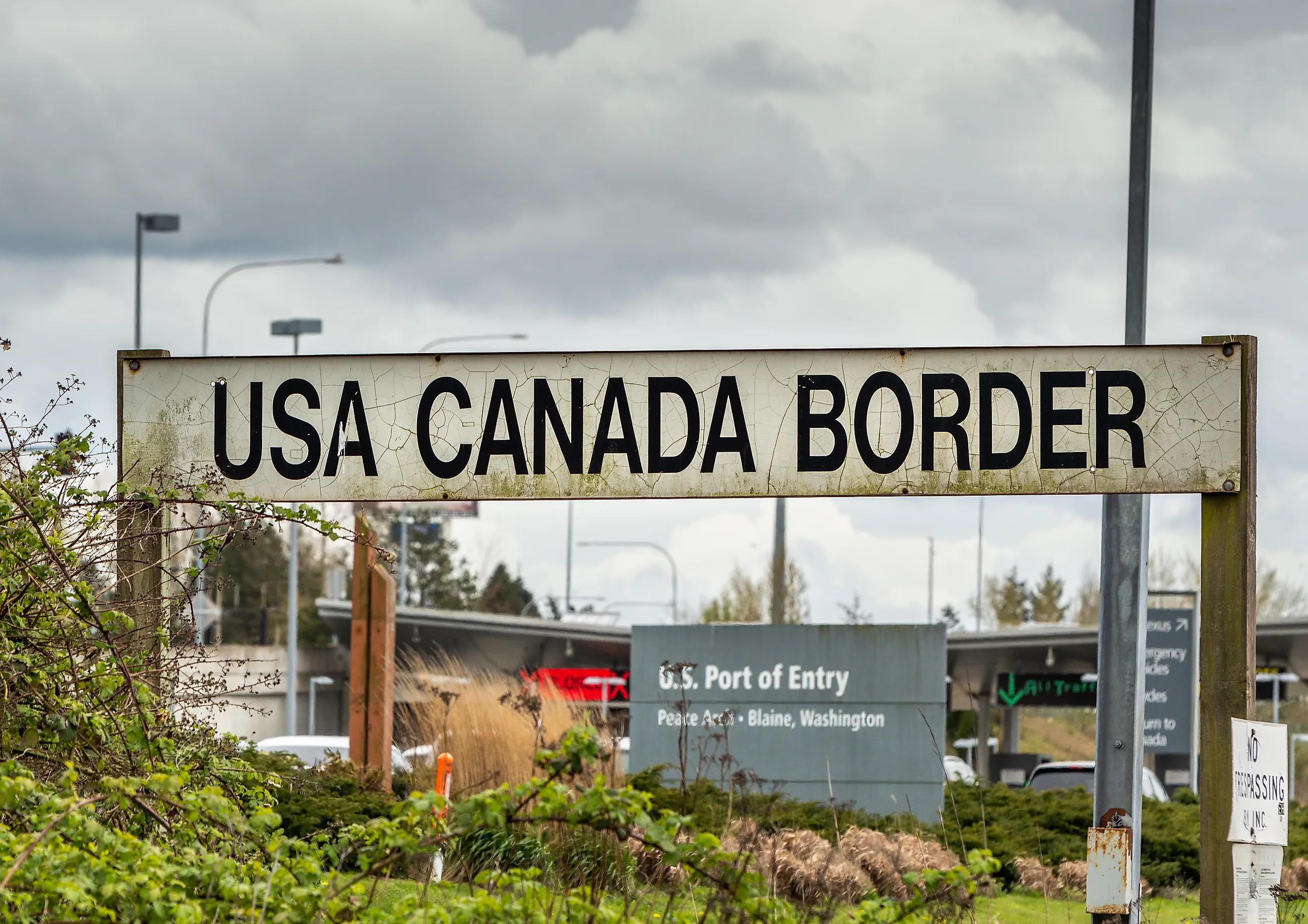
One of its responsibilities is maintenance of the Peace Arch, which was built on the exact line between the two nations, in Washington State in the U.S. and British Columbia in Canada. On the U.S side, the monument reads "Children Of a Common Mother," and on the Canadian side "Brethren Dwelling together in Unity." And for the most part, both are true.
Current

The U.S. and Canada have agreed to disagree over a few remaining bits and bobs, including Machias Seal Island in the east, which has a Canadian lighthouse but is claimed by the U.S.
There is also the matter of the Northwest Passage, which Canada says is hers, but the U.S. says is international shipping waters. A small piece off territorial waters off the coast of the Yukon (a Canadian Territory) is claimed by the U.S. as a special economic zone.
As far as we know, there are no more plans to invade, however. It was a long road, but in the end, Canada and the United States reached a harmonious relationship that stretches from the Atlantic to the Pacific.


