5 Largest Bodies Of Water Across North America
- The largest bodies of water in North America are made up of three lakes and two rivers and are, in order: Lake Superior, Missouri River, Lake Huron, Mississippi River, and Lake Michigan.
- Flooding happens rarely in Lake Superior, but when it does it can cause serious damage, with some waves reaching heights of almost 30 feet.
- All of these bodies of water were home to Native American tribes throughout history and served as an important source of things needed for their survival.
North America is an enormous continent that has plenty of room for many wondrous bodies of water. This list will include lakes and rivers flowing through this continent that are generally considered to be the largest ones. The diversity of the bodies of water on the North American continent is second to none, and there are many states with multiple major rivers and lakes.
Some of the bodies of water we will name in this article would rank highly on lists of the biggest bodies of water in the entire world. There are thousands of forms of water that make this continent beautiful, and exploring them all is impossible for most of us. This is why we chose to present only the largest ones in this article, but they have other things going for them besides the size.
5. Lake Michigan
Lake Michigan is one of the Great Lakes and the only one that completely lies within the borders of the United States. It has a surface area of 22,300 square miles and is located in Illinois, Indiana, Michigan, and Wisconsin. Back in the 19th century, the Chicago River was draining into this lake. However this was reversed when a canal was constructed in 1900. This canal was built for the sole purpose of preventing the sewage from the city from flowing into the lake.
The region of this lake was inhabited by many Native American tribes throughout history. The area of lake Michigan was discovered by the Europeans in the 17th century, and many stepped into contact with the Native Americans living there. The lake and the rivers flowing into it served as an important route for fur trading. Some of the cities built on the coasts of the lake were built on the sites of military forts from the 18th century.
4. Mississippi River
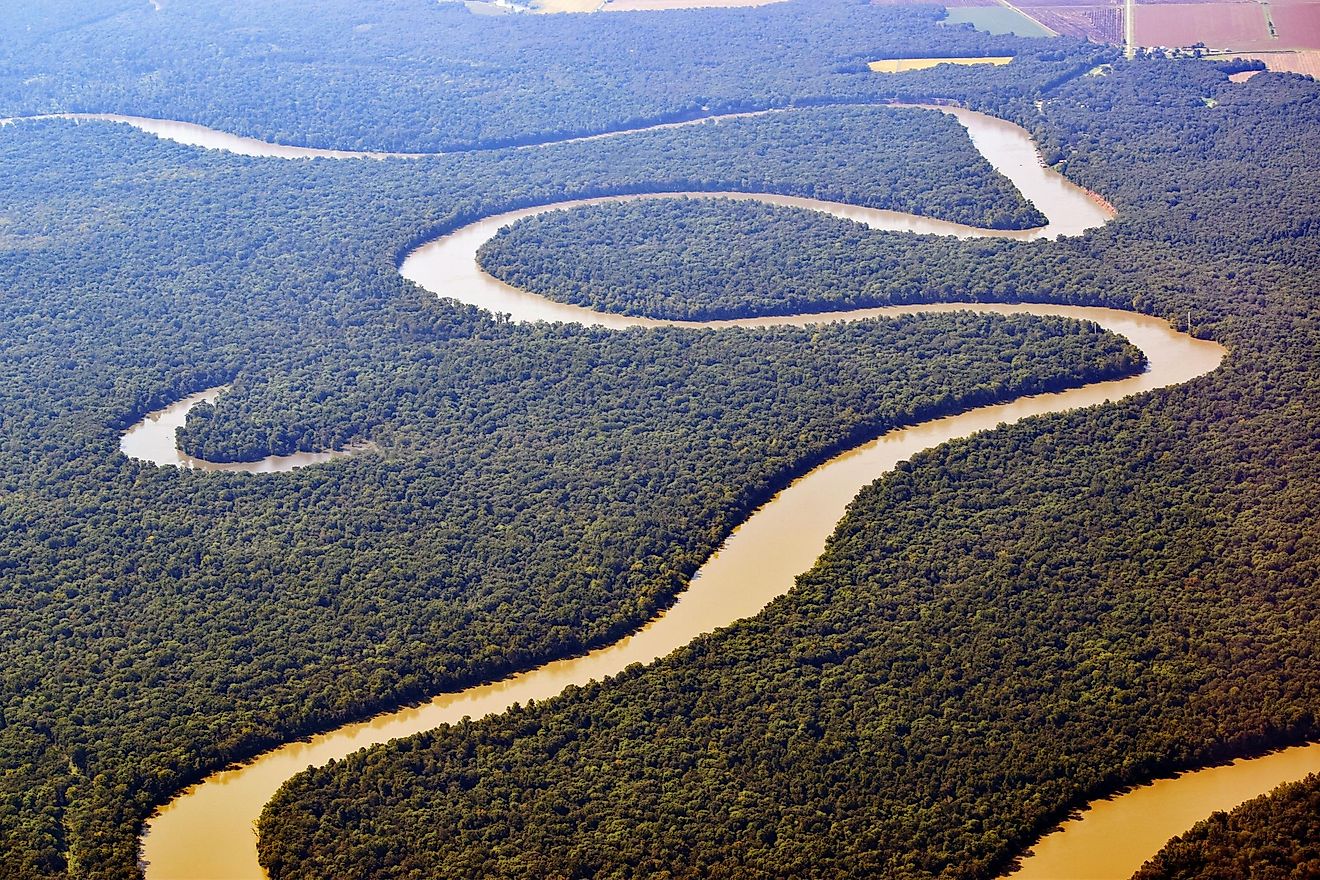
The Mississippi River is the second-longest river in North America, and just like the Missouri River, it passes through ten states. It is 2,348 miles long and many other big rivers flow into it. This also includes the Missouri River. The Mississippi river however, empties into the Gulf of Mexico. Despite not being the longest river in the United States, it is certainly the most recognizable all over the world.
Many Native American tribes lived along this river for thousands of years, just like with the Missouri River. These tribes were mostly hunter-gatherer tribes and they managed to form highly developed agricultural societies. Once the European explorers arrived, it changed the lifestyles of the Native Americans and the Mississippi River served as a border of sorts. The Mississippi River has been experiencing major pollution problems throughout the 20th century.
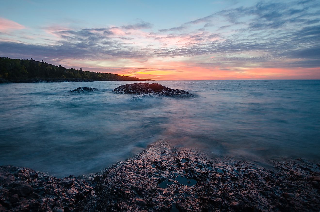
3. Lake Huron
Lake Huron is the second largest lake in North America, and the third-largest body of water. It spreads across 23,000 square miles through the state of Michigan and Ontario, Canada. It is named for the people that lived in that region before the European explorers arrived.
According to legend, once the explorers laid eyes on this lake, they could not believe it was a lake and thought it was a part of the ocean. The French originally called it “The Sweetwater Sea”. An important discovery based in this lake was the Huronian glaciation. It was an event that occurred 2.4 billion years ago and was discovered thanks to the specific rock formations found in this lake.
2. Missouri River
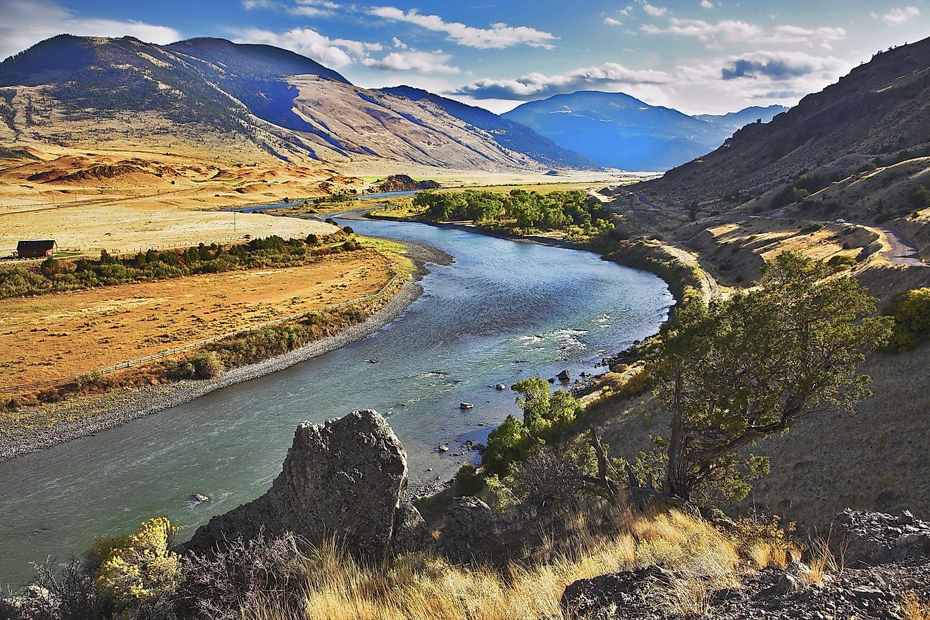
The Missouri River is the longest river in all of North America. It starts off in the Rocky Mountains and it flows east and south for 2,341 miles. At its end it enters the Mississippi River. This river goes through ten U.S. states and two Canadian provinces. If we were to combine the Missouri River to the lower parts of the Mississippi River, they would form the fourth-biggest river system in the world.
This river was incredibly important for thousands of years for many people. They used it as a source of sustenance and transportation. Many groups of Native Americans lived on the coasts of this river and it provided them with everything they needed to survive.
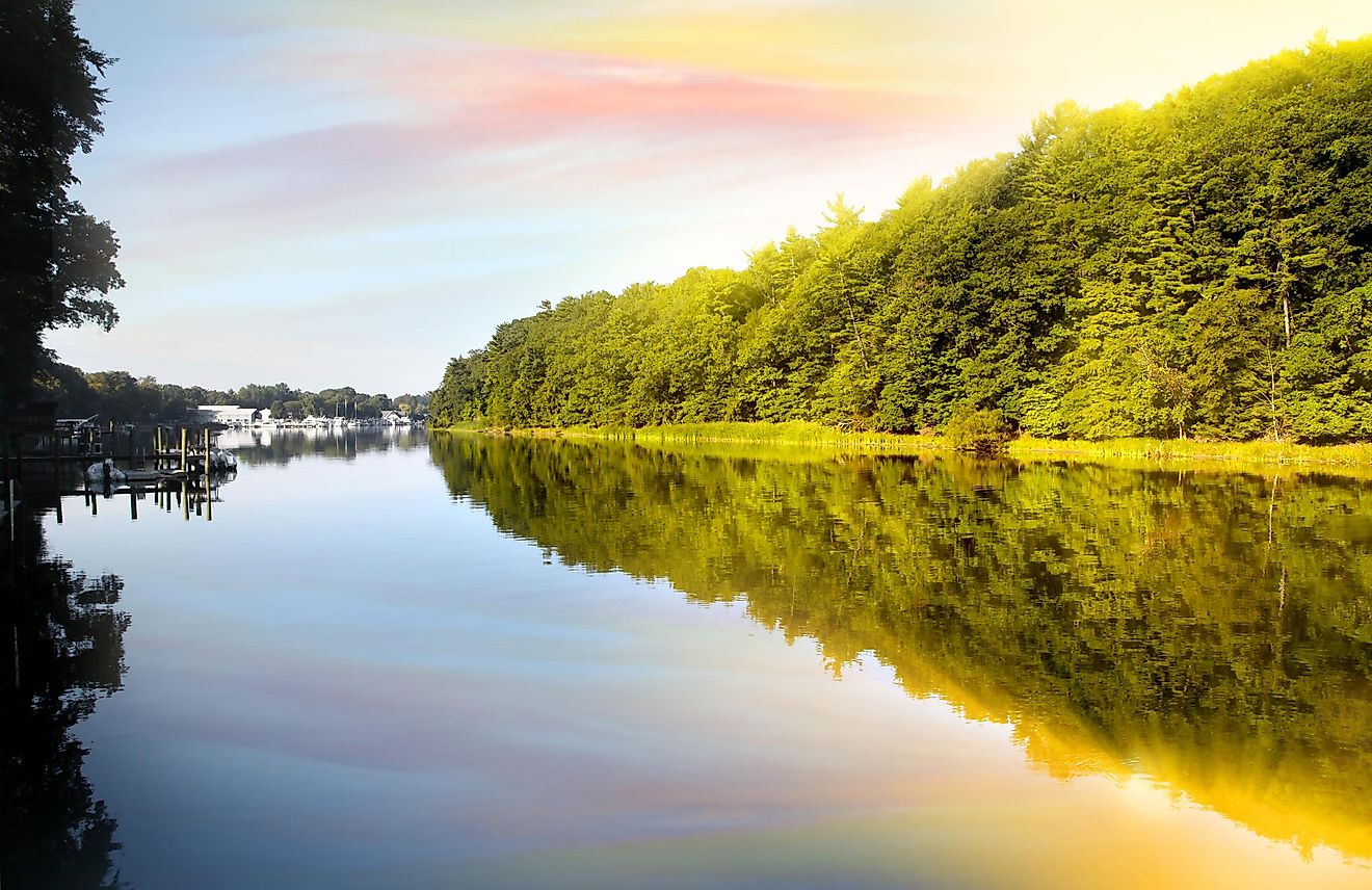
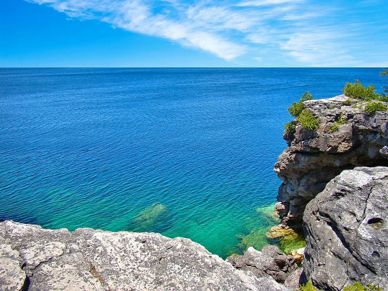
1. Lake Superior
Lake Superior has a surface of 31,700 square miles and it is located in Michigan, Minnesota, Wisconsin, and Ontario, Canada. That’s right, it is so big that it is placed in multiple states. It is also extremely deep, with some parts reaching depths of 1,332 feet. This is why the fluctuations of its height are quite small annually.
However, flooding can still happen and cause some serious damage. The highest wave that was ever recorded on this lake was 28.8 feet high. It is actually the largest freshwater lake by surface in the entire world. The lake empties into St. Mary’s river and then flows into Lake Huron. It contains several islands and the biggest one is Isle Royale in the state of Michigan.