Which Body Of Water Separates Russia And The United States?
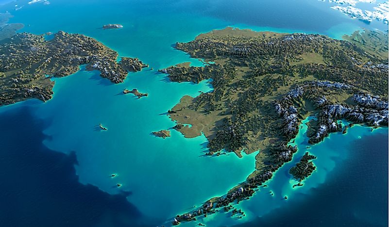
The Bering Strait is a narrow stretch of water body located on the Pacific Ocean between the extreme ends of Russia and the United States. The strait is bound at its narrowest point by Asia’s easternmost point, Cape Dezhnev; and North America’s westernmost point, Cape Prince of Wales. The distance between the two points, and the strait’s narrowest section is 51 miles. North of the strait lies the Chukchi Sea, a constituent of the Arctic Ocean. The Bering Sea borders the strait to the south. The strait is relatively shallow, with its depth ranging between 98 feet and 160 feet. The Diomede Islands lie at the center of the strait. The region surrounding the Bering Strait is largely remote due to its long winters which have extremely low temperatures. Two Russian towns exist on the strait’s western coast, and these are Lavrentiya and Lorino. On the eastern coast lie two Alaskan towns; Teller and Nome. The Diomede Islands also have limited human inhabitation. The Little Diomede Island has a small population and has basic facilities including a school.
Notable Crossings
The strait is named in honor of Vitus Bering, a celebrated 18th Century explorer from the Russian Empire who entered the strait in 1728. However, Vitus Bering was not the first person to cross the strait in the modern era. That distinction belongs to Semyon Dezhnyov who crossed the strait in 1648, but his achievement was not known in Europe at the time. The first documented case of a person crossing the strait on dogsled was in 1913 when Max Gottschalk from Germany moved from Siberia to Alaska. In 2013, a team of swimmers drawn from 17 countries swam across the Bering Strait in a relay swim, making history in the process.
Beringia
Scientists believed between 135,000 and 11,000 years ago the Bering Strait was a land bridge known as Beringia connecting Asia to North America. At its greatest extent, Beringia is believed to have been 620 miles wide and occupied an area estimated at 0.62 million square miles. A widely-accepted theory has it that the land bridge was used by prehistoric humans in their migration from Siberia to Alaska, to start the earliest human habitation of the Americas. Propagators of this theory claim that the land bridge was also used by prehistoric mammals to cross into North America which evolved into now-extinct species which were once native to North America such as the American Lion. The modern remnants of the land bridge which was later submerged under the rising water levels are the King Island, the Pribilof Islands, and the Diomede Islands.
International Relations on the Strait
During the Cold War, the strait represented the border delimiting the warring countries; the Soviet Union and the United States, with the border being known as the Ice Curtain. At the time, the strait was closed, and movement across the strait made illegal. Security forces from the two countries intensely patrolled the waters on the strait. While animosities between the two countries eased after the collapse of the Soviet Union in the late 20th Century, movement across the strait is still restricted. One is required to acquire special permits to reach Russia’s coast on the strait.


