How Is North America Divided Geographically?
- The North American territory is measured at a total of 24,230,000 square kilometers, which is 9,355,000 square miles.
- Mount McKinley or Denali is the tallest mountain peak of the North American continent and the third highest in the world, with an elevation of 6,190 m (20,310 feet) above sea level.
- Everglades in Florida is the biggest wetland system in the US, and they cover an area of 11,137 square kilometers (4,300 square miles).
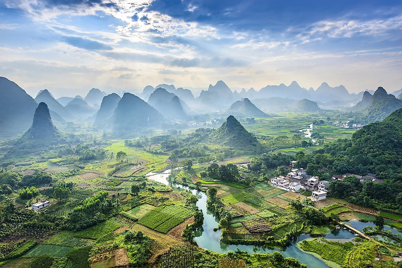
The continent of North America is the third-largest continent in the world. Five distinctive physical regions divide the North American continent: western mountain region, the Great Plains, the varied eastern region, the so-called Canadian Shield, and the Caribbean.
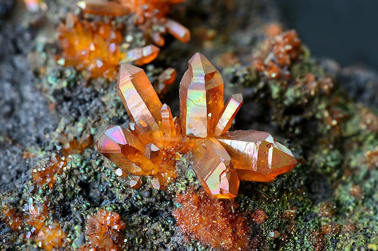
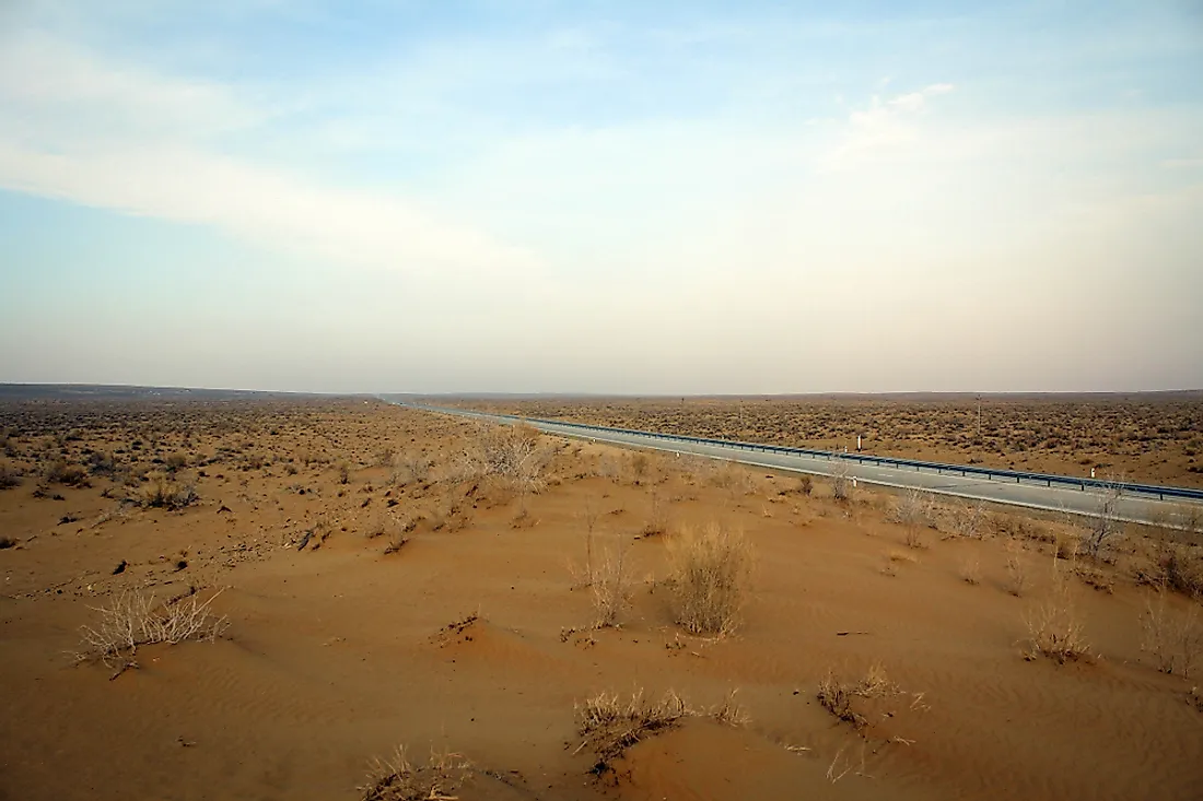
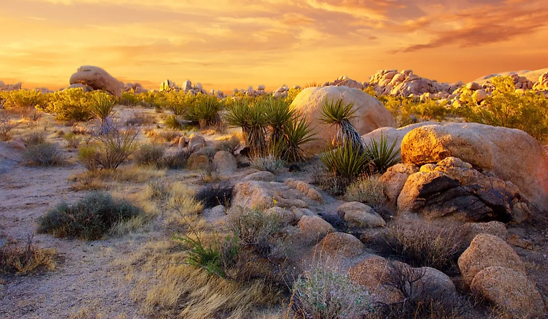
One very interesting fact about North America is that it has all the four major biomes across its vast territory. A biome is the largest possible community of plants and animals that lives within a particular area that has a specific type of climate. This means that in the US, deserts, grasslands, tundras, and coral reefs are all present.
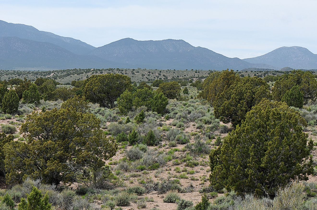
Western Region
The west part of North America is known for its mountains. Undoubtedly the most famous among them are the Rocky Mountains, which are also the most prominent mountain chain on the whole continent. The Rocky Mountains cover practically the entire west side of the US, from British Columbia, down to New Mexico. These mountain tops are a part of an even bigger chain of mountains that are called Cordilleras. They cover the west side of the Americas, including Canada up in the far north, and Isthmus of Panama in the southwest point.
Great Plains
This territory lies in the heart of the North American area. This region is often referred to as the ‘’Breadbasket of North America’’. That is because it is filled with potent soil that can grow incredible amounts of the crop used to feed the people in the US. Also, the Great Plains are filled with natural resources like oil and natural gas. The reason why the soil here is so fertile in the Great Plains is that it was created from deposited material after the Earth’s last glacial period, which peaked around 18,000 years ago. As the ice left the area, the streams of ice melted and left layers of sediment that created a fertile soil.

The Canadian Shield
The region known as the Canadian Shield extends over the whole eastern, central, and northwest border with Canada. This area is mostly rocky, it is slightly raised when compared to the Great Plains, but it is still reasonably flat terrain. One thing about this area is that the climate supports the creation of tundras, and one thing about them is that they have a feature called permafrost. This means that some of the regions are in permafrost, which makes the ground freeze for two years or more. Also, there is an incredible amount of fascinating lakes in the Canadian Shield.
Eastern Region
The eastern part of the North American stretches across the Appalachian Mountains and covers the area of the Atlantic coastal plain. This region is primarily known for the massive mining of coal and other worthy minerals from the ground.
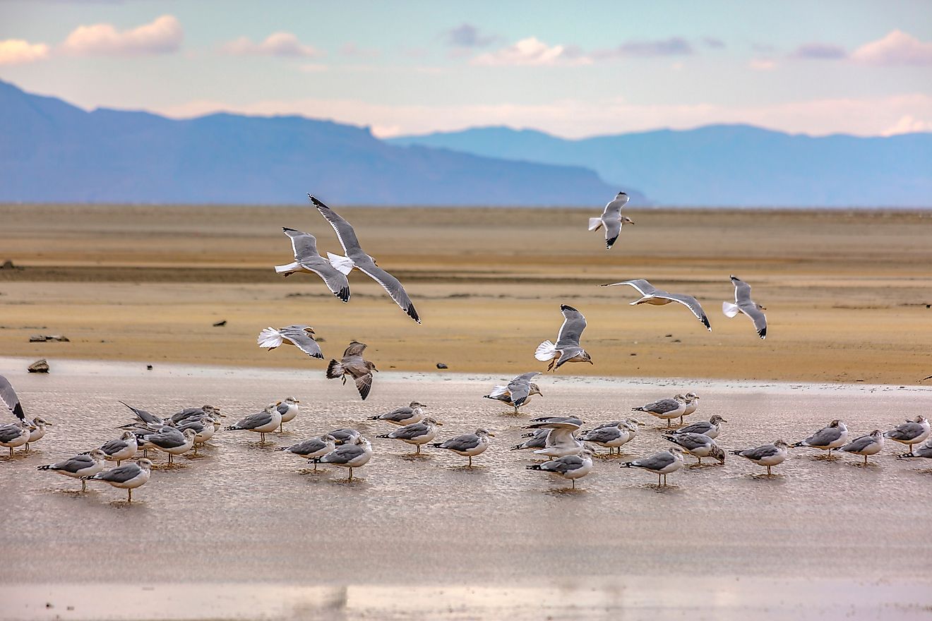
Caribbean Region
There are more than 7,000 islands and reefs in the Caribbean part of North America. The lands of this region are mostly flat and sandy, and also of volcanic origin. The coral reefs in the Caribbean Sea are probably some of the most impressive biomes in the world, not just in North America.