Major Geographical Features That Shape The Climate Of Canada

- Canada is the only country to border three oceans - the Arctic, Atlantic, and Pacific.
- The Canadian coastline is more than 150,000 miles long.
- Canada's Rocky Mountains influence climate as far away as Norway.
Spanning the width of North America, Canada is the world’s second largest country after Russia, and home to a diverse topography that ranges from deserts to tundra, plus coastlines that rim not only the Great Lakes but also three of the world’s five oceans. Given its vast latitudinal reach and widely varying geography, it is unsurprising that Canada experiences several different climatic regions. Climate refers to the average weather in an area. This includes its high and low temperatures, precipitation, and barometric pressure from month to month and year to year. Canada has seven climatic regions or zones: the Arctic, Subarctic, Prairie, Great Lakes, Cordilleran, plus the East and West Coasts. Climate is not only wholly dependent on these regions, however. Unique geographic features and formations can significantly impact the climate in an area. Read on to discover 10 major geographical features that shape the climate of Canada.
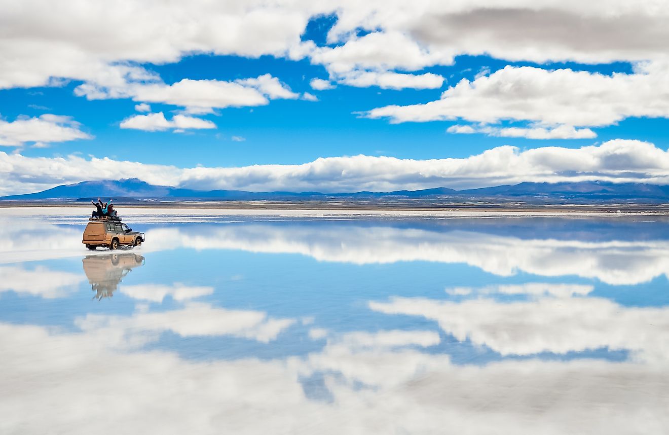
10. Three Ocean Coastline
Not only does Canada have the longest coastline in the world, it’s also the only country to border three oceans: the Arctic, Atlantic, and the Pacific. Unsurprisingly, these oceans have a significant impact on the climate of the land nearby. In the Arctic the presence of sea ice on the ocean interacts with the atmosphere, limiting the ability of wind to create large waves or exchange heat, vapor, or gasses between the land and sea. The cold, highly saline water of the northern Atlantic sometimes forms an anomaly called ‘the cold blob’ that results in unseasonably warm temperatures in the maritime provinces. Meanwhile on the West Coast, the warm and humid ocean currents of the Pacific collide with the coastal mountain range, resulting in orographic, or mountain-caused, rainfall that can exceed 100 inches from the autumn through to the spring.
9. Great Lakes

The Great Lakes have a significant impact on the Canadian climate. Located in the middle of the continent and stretching east to west for 750 miles, these five water bodies comprise the greatest amount of fresh surface water in the world. Given their size and depth, the lakes gain heat in the summer months and release it during the winter. Change in temperature is slower in deep water than it is on the land, resulting in warmer autumns and cooler springs than similar continental longitudes, plus lake-effect frost and snow in the winter.
8. Appalachian Mountains
Canada is home to several mountain ranges, including the northern arm of the Appalachian Mountains. While the east coast of North America frequently suffers from cyclonic weather, the Appalachians flatten and slow incoming cold fronts, weakening the winds and causing a course shift to the south and east of the mountain range. While the area still suffers strong winds, the incidence of cyclones is greatly reduced.
7. Coast Mountains
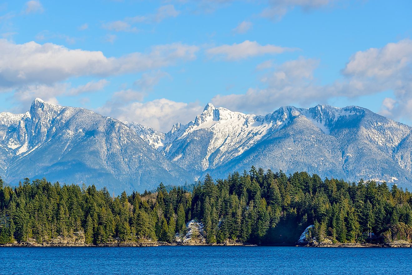
Some of the rainiest places on the continent are located along the Coast Mountains. Running nearly 1,000 miles down the Pacific coast from the Yukon to the Fraser valley, this jagged chain features steep slopes, glaciers, and jutting fjords as long as 120 miles. The Coast Mountains puncture cloud cover and force wet, westerly winds upwards, with some areas experiencing up to 170 inches a year of precipitation. The resulting climate is ideal for coniferous red wood forests, where some of the world’s oldest trees are still thriving today.
6. Rocky Mountains
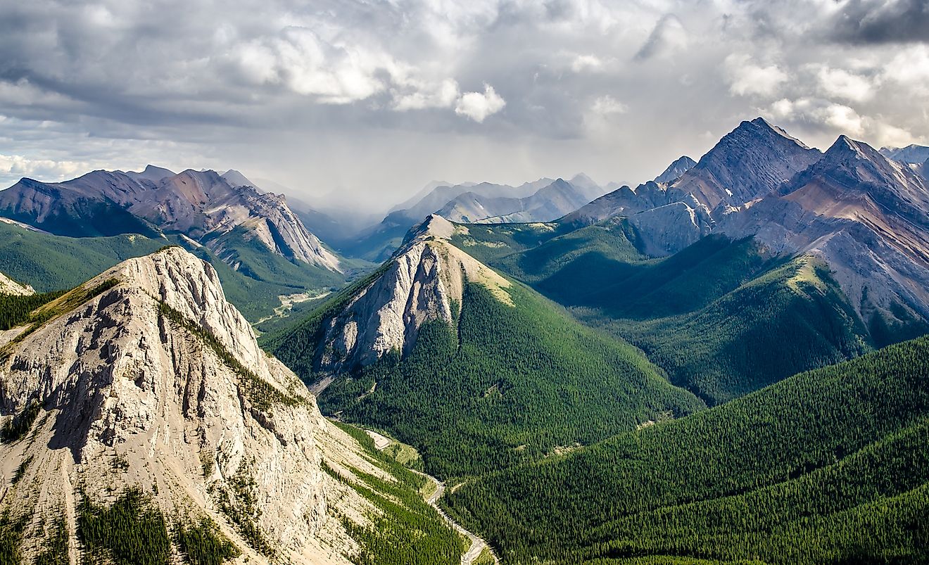
Canada’s famous Rocky Mountain Range influences more than the Canadian climate. Recently scientists determined the geographical elements of the Rockies impact climate as far away as Norway. The mountain region itself experiences year round snow in high elevations, significant rain on the western windward side and minimal precipitation on the leeward side resulting in a south-western desert landscape. Globally, the presence of the Rockies pushes wind south. Here it collects warm, moist air before continuing across the continent and towards Europe, where these winds are believed to be the reason for Norway’s warmer temperatures than other regions along the same latitude.
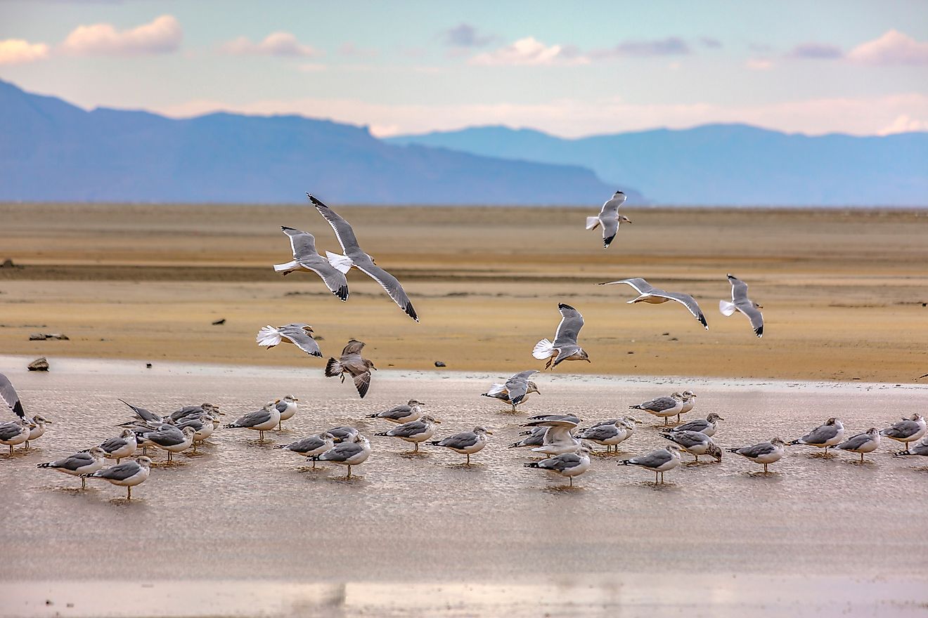
5. Hudson Bay
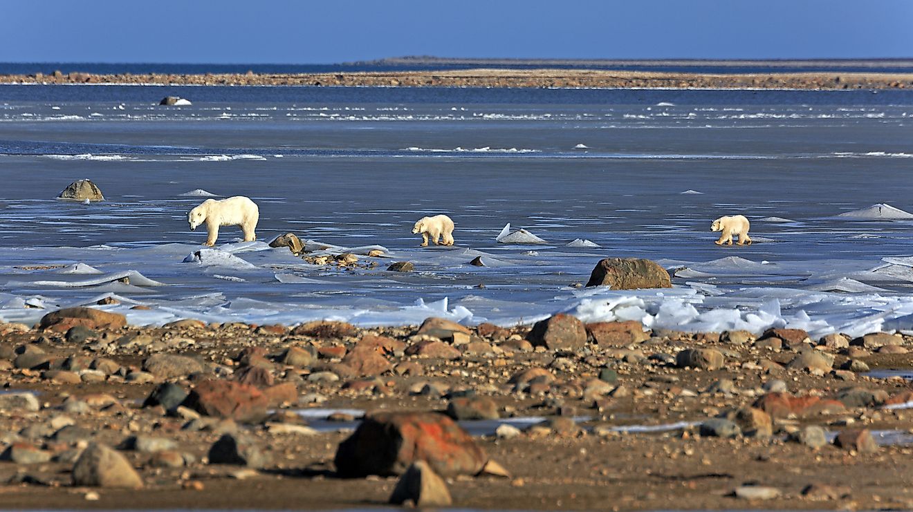
At 470,000 square miles, Hudson Bay is second only in size to the Bay of Bengal. This massive geographic feature, which some believe was formed by an asteroid collision, significantly impacts the surrounding climate. Thousands of fresh water bodies feed into the Bay, resulting in a lower salinity than the surrounding ocean. This, combined with large-scale Arctic air masses, keeps the water frozen deep into the summer months. The ice in turn suppresses solar radiation, holding cool temperatures on nearby land into June and July. This process is known as the winterization of summer.
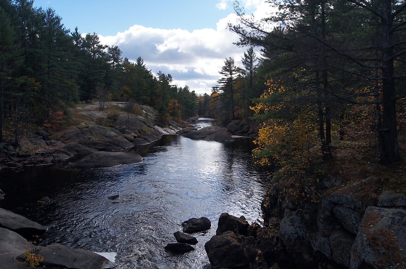
4. Boreal Forest
Distinct for its mix of coniferous and deciduous trees, high latitude location, and ability to grow in sub zero temperatures 6 to 8 months per year, boreal forests cover vast expanses in Canada, Alaska, and Russia. Canada is home to 28% of the worlds’ boreal forests, with 75% of Canadian forests part of the global boreal forest ring. Located just below the tundra region, these ‘young’ forests are in constant renewal due to the natural occurrence of forest fire and insect infestation. They play an important climatic role, keeping temperatures in the area low with high humidity, interrupting winds, and reducing variable weather such as thunderstorms and cyclones.
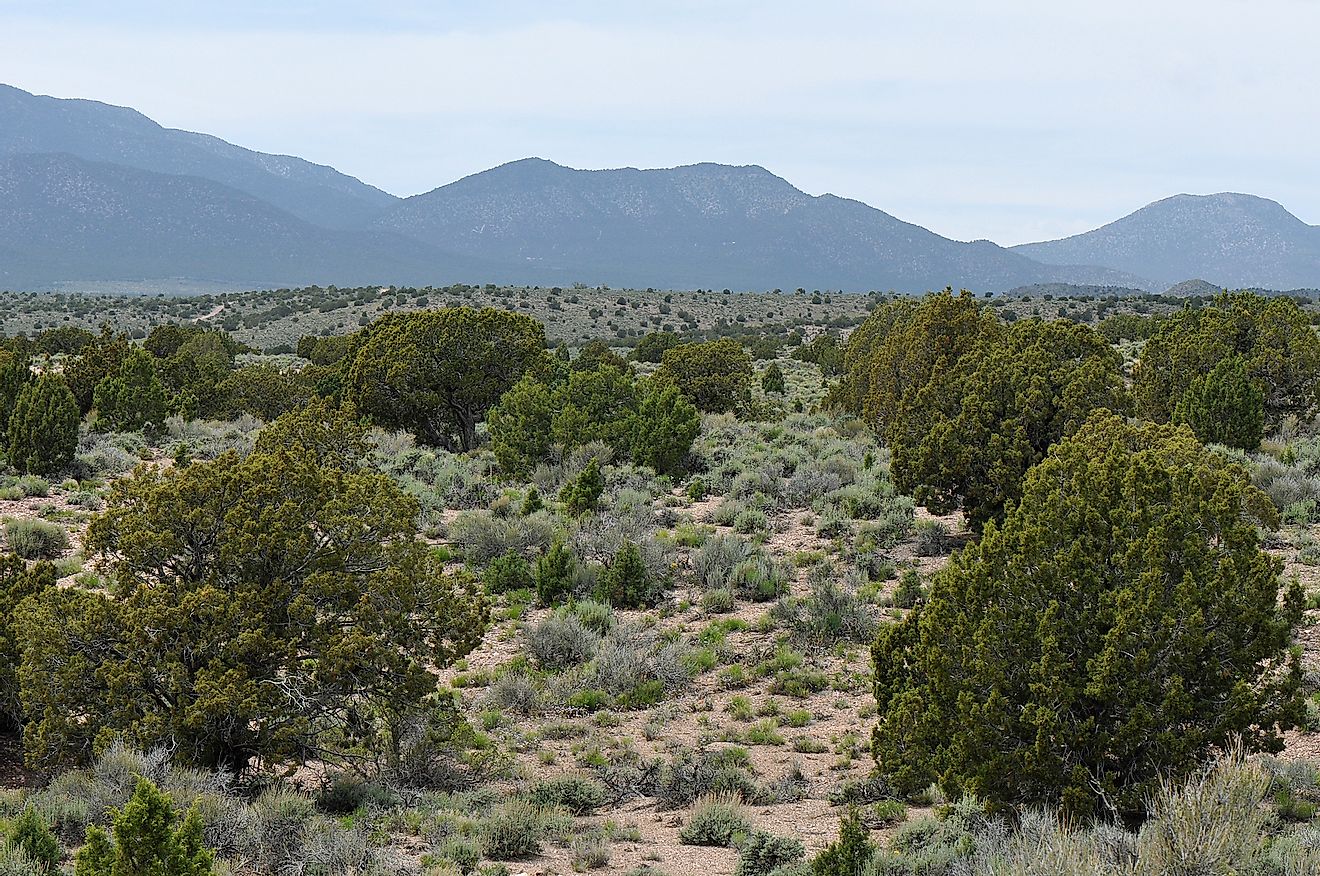
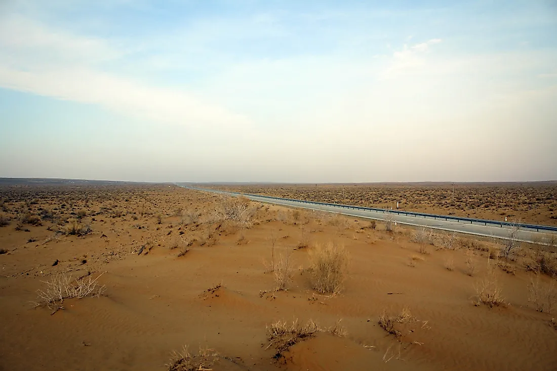
3. Okanagan Desert
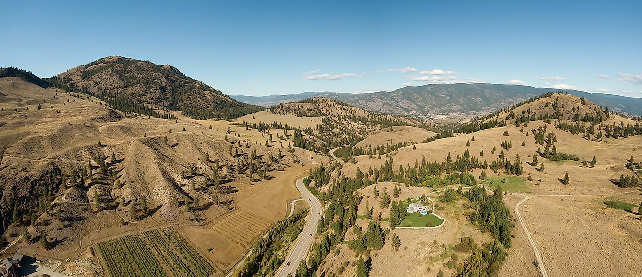
Although the Arctic is technically a desert due to its low precipitation of 10 inches annually - by comparison the Gobi Desert has 7 inches per year - Canada’s only other desert, the Okanagan, is home to traditional desert fare such as cactus, rattlesnakes, and a hot, arid, climate that enjoys 2,000 hours of sunlight a year. This unique strip of desert is 12 miles wide and winds for 125 miles in the rain shadow of both the Coast and Cascade mountain ranges.
2. Tundra
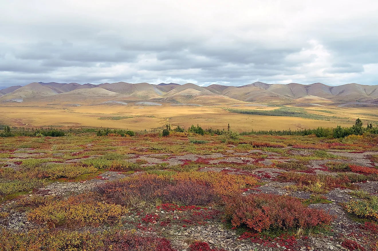
From the Arctic peoples word for “barren land,” Canada’s tundra region is characterized by low growing shrubs and lichen, few trees, and permafrost soil. Here it is not the presence of geographical features, but the lack of them, that impacts the climate. Without mountains, forests, valleys, cliffs, or large rivers to influence wind, precipitation, or sun cover, tundra is home to dry, cold temperatures that do not rise above 50oF during its summer and ten months of below freezing.
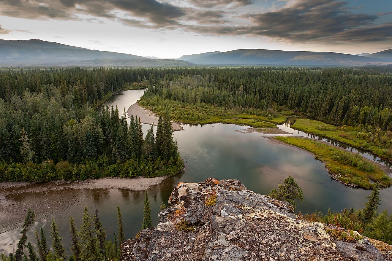
1. Canadian Shield
Composed almost entirely of volcanic rock, often exposed to the elements or with a thin layer of topsoil, the Canadian Shield is one of the most defining geographic features of Canada. Given its size, it stretches across the provinces and territories of Nunavut, Ontario, Saskatchewan, Quebec, Labrador, and the Northwest Territories, average temperatures within the Shield vary greatly. However, given its physical features of uplands, plateaus, hills, mounds, and thousands of lakes and wetlands, the climate of the Shield has year round precipitation, and four distinct seasons including hot summers and winters that dip well below freezing.