Maps of Canada

Canada, encompassing 9,984,670 km2 (3,855,100 mi2), is bordered by three oceans: the Atlantic to the east, the Pacific to the west, and the Arctic to the north. It shares the world's longest binational land border with the United States to the south and northwest.Canada, from west to east, is divisible into seven primary geographic regions:
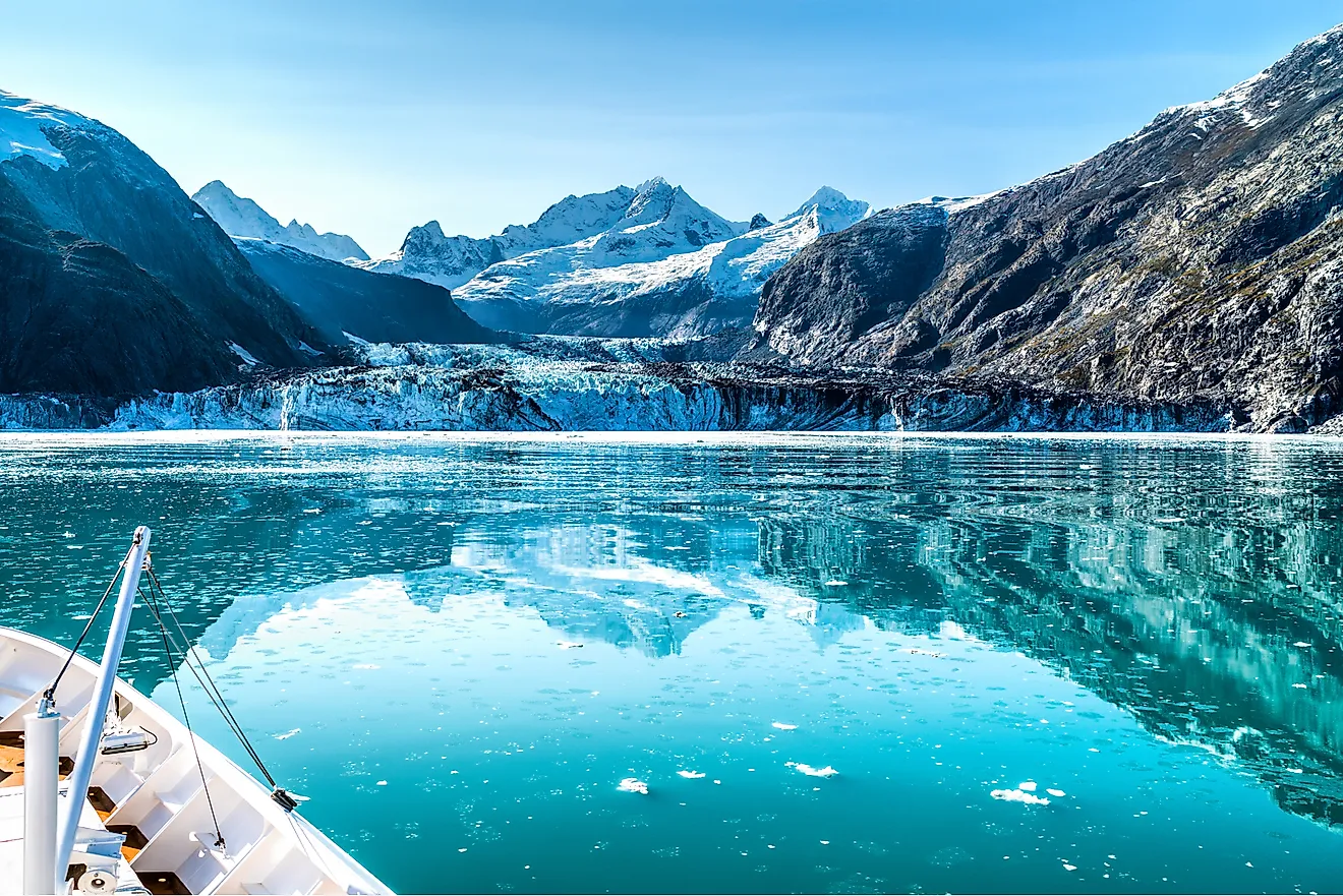
Western Cordillera: The Western Cordillera region, characterized by its extensive mountain ranges, dominates the western landscape of Canada. It stretches from the Yukon Territory to the southern reaches of British Columbia. The topography is marked by a series of parallel ranges and valleys that influence the local climate and river systems. This region houses Mount Logan, Canada's highest peak at 5,959 meters (19,551 feet), located in the Saint Elias Mountains.
Canadian Arctic: The Canadian Arctic encompasses Canada's northernmost parts, including parts of Nunavut, Northwest Territories, and Yukon. It is a vast, sparsely populated region with a landscape dominated by permafrost and tundra. The Arctic Archipelago is part of this region, where polar deserts and ice cap climates prevail.
Interior Plains: The Interior Plains present a stark contrast to the adjacent Cordillera, offering extensive flatlands that rise gradually from the USA border to the Canadian Shield. This region's landscape is mostly flat or gently rolling terrain, ideal for agriculture, particularly in the southern areas. Major rivers here include the Peace and the Saskatchewan, contributing to the fertile soil.
Canadian Shield: Covering approximately half of Canada, the Canadian Shield is a massive geological shield covered by a thin layer of soil that arcs around Hudson Bay. It's characterized by ancient crystalline rocks, countless lakes, and coniferous forests. The Canadian Shield's terrain varies from exposed rock formations to rolling hills, and it is rich in mineral deposits.
Hudson Bay Lowlands: Adjacent to the Canadian Shield to the south and east is the Hudson Bay Lowlands, one of the largest wetland areas in the world. This region is mostly a flat, swampy area with numerous rivers and streams draining into Hudson Bay. It's known for its muskeg, a type of wetland that predominates the landscape.
St. Lawrence Lowlands: The St. Lawrence Lowlands stretch from Quebec to Ontario, following the St. Lawrence River. This region is the most densely populated part of Canada, with fertile soil and a relatively mild climate. It is characterized by its rolling hills, deep soils, and the notable presence of the Great Lakes.
Appalachian Region: The Appalachian Region includes parts of Quebec and Atlantic Canada, extending into the island of Newfoundland. This area features rolling hills, deep river valleys, and rugged coastlines. The Long Range Mountains in Newfoundland, a continuation of the Appalachians, contain the country's low point at sea level.
Islands and Major Bodies of Water: Canada's geography is also defined by its significant water bodies, including the Great Lakes, shared with the United States, and numerous vast, deep freshwater lakes like Great Bear Lake and Great Slave Lake. The Mackenzie River system, flowing from the Great Slave Lake to the Arctic Ocean, is among the longest river systems in North America.
Political Map of Canada

This political map of Canada includes the country's ten provinces and three territories, each distinguished by different colors. From west to east, the provinces are British Columbia with its capital at Victoria, Alberta with Edmonton, Saskatchewan with Regina, Manitoba with Winnipeg, Ontario with Toronto, Quebec with Quebec City, and the Atlantic provinces of New Brunswick with Fredericton, Prince Edward Island with Charlottetown, Nova Scotia with Halifax, and Newfoundland and Labrador with St. John's. The three territories are the Yukon with its capital Whitehorse, the Northwest Territories with Yellowknife, and Nunavut with Iqaluit. The map also indicates major cities such as Vancouver, Calgary, Saskatoon, Ottawa, and Montreal, and it includes geographical features like Hudson Bay, Great Bear Lake, and the Gulf of St. Lawrence. The national capital, Ottawa, is prominently marked in the province of Ontario.
Where is Canada?

Canada is the largest country in North America. Canada is bordered by non-contiguous US state of Alaska in the northwest and by 12 other US states in the south. The border of Canada with the US is the longest bi-national land border in the world. Canada is also bounded by the Arctic Ocean to the north, by the Atlantic Ocean to the east and the Pacific Ocean to the west. Canada also shares maritime borders with the island of Greenland in the northeast and the French island regions of Saint Pierre and Miquelon in the southeast.
Canada Bordering Countries: The United States Of America.
Regional Maps: Map of North America
Outline Map of Canada

The above blank map represents Canada, the largest country in North America. The above map can be downloaded, printed and used for educational purposes like map-pointing activities and coloring.

The above outline map represents Canada - the second largest country in the world, that occupies about 2/5ths of the continent of North America.
Key Facts
| Legal Name | Canada |
|---|---|
| Flag |
|
| Capital City | Ottawa |
| 45 25 N, 75 42 W | |
| Total Area | 9,984,670.00 km2 |
| Land Area | 9,093,507.00 km2 |
| Water Area | 891,163.00 km2 |
| Population | 37,589,262 |
| Major Cities |
|
| Currency | Canadian dollars (CAD) |
| GDP | $1.74 Trillion |
| GDP Per Capita | $46,194.73 |
This page was last updated on January 8, 2024