Maps of Yukon
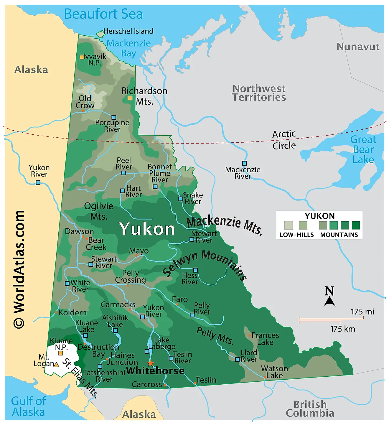
Covering an area of 474,713 sq. km, Yukon is a small territory, located in the extreme northwestern corner of Canada.
As observed on the map, the territory is covered by several snow-capped mountains, volcanoes, glaciers, lakes, rivers, coniferous forests, and Arctic tundra. The territory’s eastern boundary is quite rugged and is dominated by the Mackenzie and the Selwyn Mountain ranges. Some other notable mountains in the territory include the Richardson Mountains, Pelly Mountains, Ogilvie Mountains, Logan Mountains, St. Elias Mountains, etc.
Most of the striking landforms of the territory are situated in its extreme southwestern corner in the Kluane National Park and Reserve. As marked on the map by an upright yellow triangle is Mount Logan, which rises to an elevation of 5,959m and is the highest point on the Yukon territory as well as the entire Canada.
Much of the territory is drained by the Yukon River. Some other notable rivers include Peel, Liard, Stewart, Porcupine, etc. The southern part of the territory is dotted by many alpine lakes including Atlin Lake, Marsh Lake, Kusawa Lake, Teslin, Tagish, Laberge, and Kluane Lake. The lowest point of the territory is at the Beaufort Sea (0m).
Provinces Map
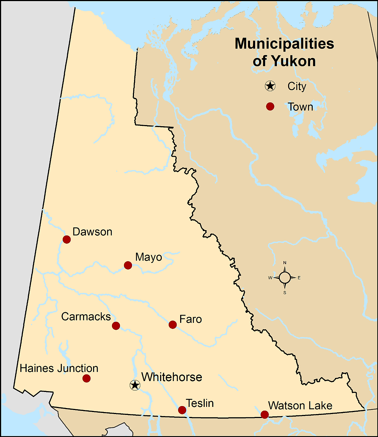
Yukon, a territory in the northwest region of Canada, spans an area of 186,272 square miles. It shares its borders with Alaska to the west, the Northwest Territories to the east, and British Columbia to the south. The Arctic Ocean lies to the north, providing a natural boundary for the territory.
Yukon features a variety of geographical regions, each with distinct characteristics. These regions include the Arctic Coastal Plain, the Interior Plateau, the Taiga Cordillera, and the Boreal Mountains and Plateaus.
The Arctic Coastal Plain lies in the northernmost part of Yukon, stretching along the Beaufort Sea coast. This region consists of low-lying tundra, with numerous shallow lakes and wetlands. The permafrost underneath the surface plays a significant role in shaping the region's topography.
South of the Arctic Coastal Plain, the Interior Plateau covers a large portion of central Yukon. This region is characterized by rolling hills, broad valleys, and numerous lakes. The land here is mostly covered by boreal forest, which consists of spruce, pine, and aspen trees.
The Taiga Cordillera, located in the northwest corner of the territory, features rugged mountains and expansive plateaus. This region is characterized by a mix of alpine tundra and taiga, with the treeline gradually receding as one moves northward. This area is also home to the British-Richardson Mountains, which serve as a natural boundary between Yukon and the Northwest Territories.
The Boreal Mountains and Plateaus region, which occupies the southern and southeastern portions of Yukon, includes the Saint Elias, Cassiar, and Selwyn mountain ranges. This region's high elevation and glaciated peaks make it one of the most visually striking parts of the territory.
Yukon boasts numerous major bodies of water and rivers that contribute to its diverse landscape. The Yukon River, the territory's most famous watercourse, flows for approximately 1,980 miles from British Columbia through Yukon and Alaska before emptying into the Bering Sea. This river has played a critical role in the history and development of the region, particularly during the Klondike Gold Rush of the late 19th century.
Other significant rivers in Yukon include the Peel, Stewart, and Pelly Rivers. These waterways serve as important habitats for various fish species, including salmon and Arctic grayling, and support a rich ecosystem of plants and wildlife.
Yukon's largest lake, Kluane Lake, covers an area of approximately 158 square miles. Located in the southwest region of the territory, Kluane Lake is nestled between the Saint Elias Mountains and the Ruby Range. This picturesque body of water is a popular destination for fishing, boating, and wildlife viewing.
Where is Yukon?
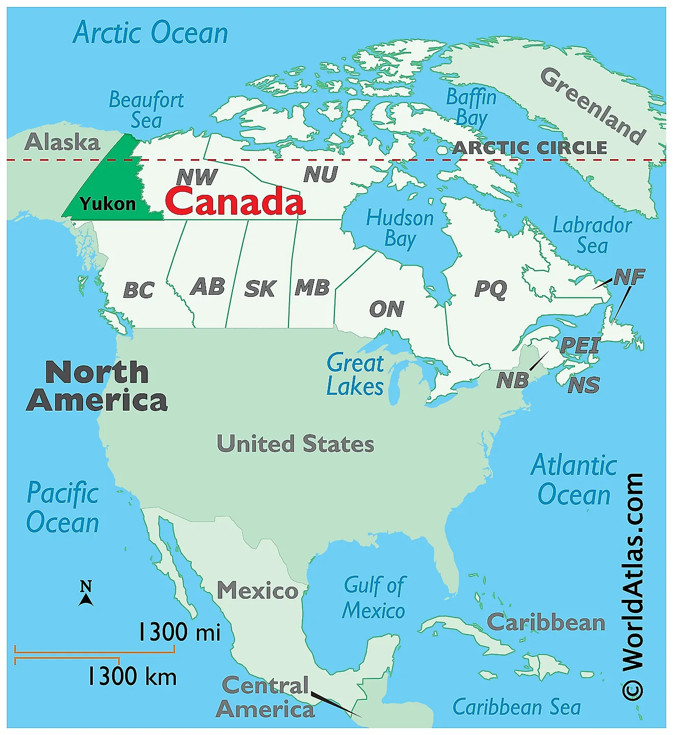
Yukon is a territory located in the extreme northwestern corner of Canada, in the Continent of North America. It is geographically positioned both in the Northern and Western hemispheres of the Earth. Yukon is bordered by the Canadian Northwest Territories in the east; the province of British Columbia in the south and the US State of Alaska to the west. In the north, it is bounded by the Beaufort Sea and the Arctic Ocean.
Regional Maps: Map of North America
Outline Map of Yukon
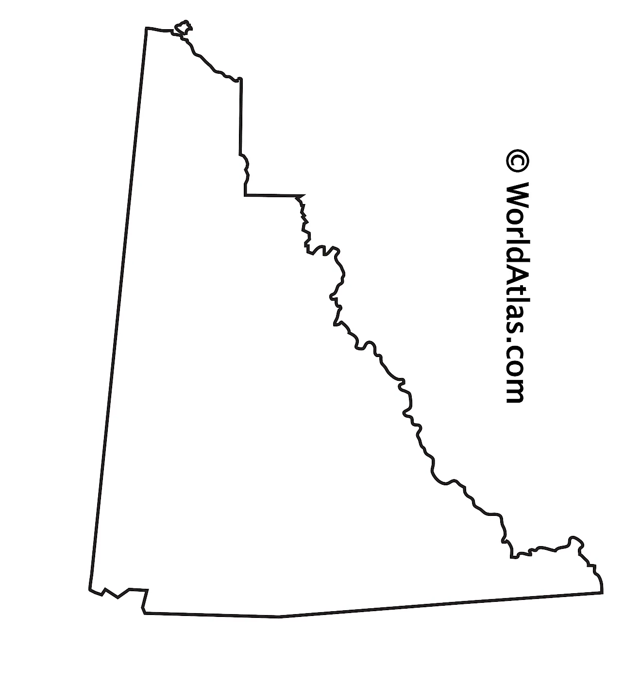
The above blank map represents Yukon, a territory located in the extreme northwestern corner of Canada. The above map can be downloaded, printed, and used for geography education purposes like map-pointing and coloring activities.
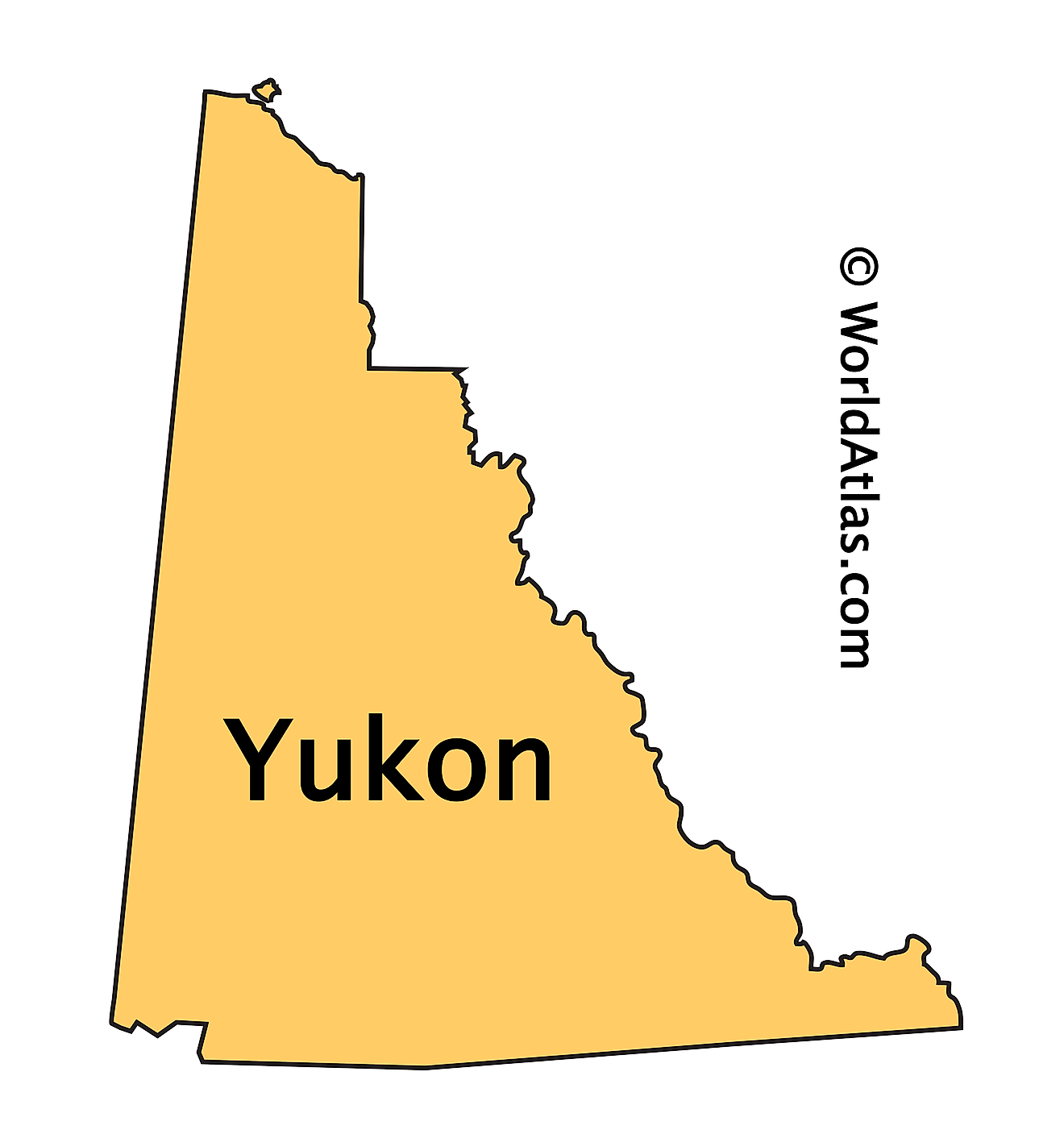
The above outline map represents Yukon, a territory located in the extreme northwestern corner of Canada.
Key Facts
| Legal Name | Province of Yukon |
|---|---|
| ISO 3166 Code | CA-ykz |
| Capital City | Whitehorse |
This page was last updated on April 4, 2023

