Maps of Northern Ireland

Northern Ireland, a part of the United Kingdom, shares its western and southern borders with the Republic of Ireland (which is separate from Northern Ireland and is formally known as Ireland), while the North Channel separates it from Scotland to the east. Occupying a total area of approximately 5,460 square miles, the region is characterized by diverse geographical features, ranging from mountains and plateaus to lowlands and water bodies.
In terms of elevation, Slieve Donard stands out as the highest point in Northern Ireland, reaching a peak of 2,789 feet. This mountain is located within the Mourne Mountains, a granite mountain range in County Down, known for its rugged beauty and scenic landscapes. The Mourne Mountains play a vital role in defining Northern Ireland's topography as they give way to the Sperrin Mountains in the west. The Sperrin Mountains, formed predominantly of schist and quartzite, are less imposing than the Mournes, with the highest peak, Sawel Mountain, reaching 2,224 feet.
The Antrim Plateau, situated in the northeast, constitutes another important geographical region in Northern Ireland. This basaltic plateau is renowned for its unique geological formations, such as the Giant's Causeway, which comprises around 40,000 interlocking basalt columns. These columns formed as a result of an ancient volcanic eruption, drawing tourists from around the world to marvel at the striking landscape.
Northern Ireland's lowlands can be found primarily in the east and southeast, dominated by the fertile Lagan Valley. This valley extends from the city of Lisburn to the capital, Belfast, on the eastern coast. The Lagan River, which flows through the valley, serves as an essential water source for the region, supporting agriculture, industry, and residential needs. In addition to the Lagan River, the Foyle, Bann, and Blackwater Rivers are other major waterways that contribute to the region's hydrological system.
As for bodies of water, Northern Ireland boasts numerous lakes, known locally as loughs. Among these, Lough Neagh is the largest, covering an area of approximately 151 square miles. Not only is Lough Neagh the largest freshwater lake in the British Isles, but it also serves as a crucial habitat for various bird species and supports the local fishing industry. Other notable loughs include Lough Erne, which consists of two connected lakes, Upper Lough Erne and Lower Lough Erne, and the coastal loughs of Strangford Lough and Belfast Lough.
Map

Northern Ireland is administratively divided into 26 districts and 6 historic counties. In alphabetical order, these districts are Antrim, Ards, Armagh, Ballymena, Ballymoney, Banbridge, Belfast, Carrickfergus, Castlereagh, Coleraine, Cookstown, Craigavon, Derry, Down, Dungannon, and South Tyrone, Fermanagh, Larne, Limavady, Lisburn, Magherafelt, Moyle, Newry and Mourne, Newtonabbey, North Down, Omagh and Strabane.
The 6 historical counties: County Antrim, County Down, County Armagh, County Londonderry, County Fermanagh, and County Tyrone are no longer used for administrative purposes.
Covering an area of 14,130 sq. km, Northern Ireland is a constitutionally distinct region of the United Kingdom. Located on the eastern coast of Northern Ireland, along the banks of River Lagan is Belfast – the capital and the largest city of Northern Ireland. Belfast serves as a major commercial, educational, shopping and business center of Northern Ireland.
Where is Northern Ireland?
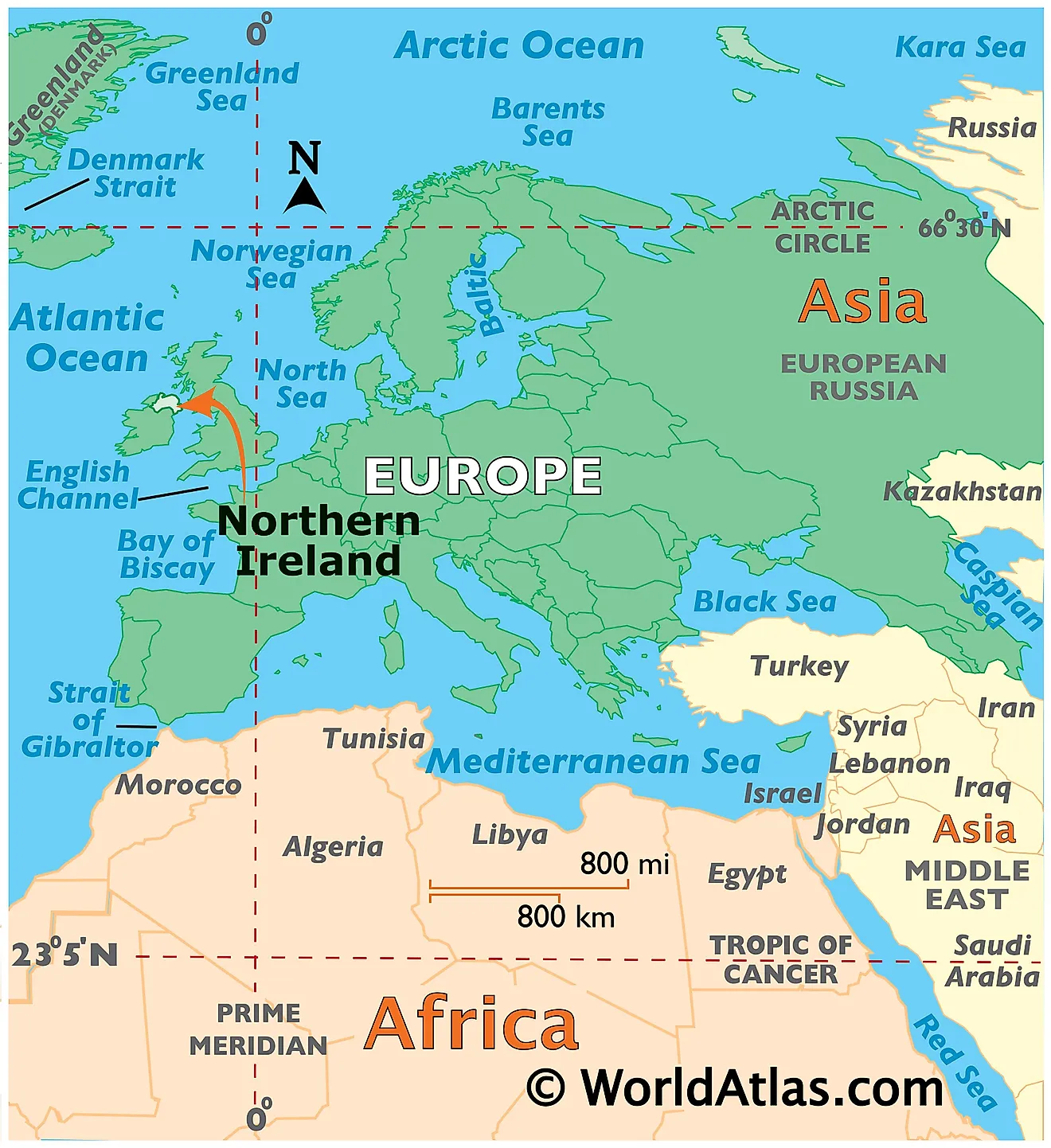
Northern Ireland is a constitutionally distinct region of the United Kingdom, located in the northeastern part of the island of Ireland. It is geographically positioned in the Northern and Western hemispheres of the Earth. Northern Ireland is bordered by the Republic of Ireland in the south and west. In the east, it is separated from Scotland by the North Channel. Northern Ireland is separated from England and Wales in the east and southeast by the Irish Sea. In the north, it is surrounded by the Atlantic Ocean.
Regional Maps: Map of Europe
Outline Map of Northern Ireland
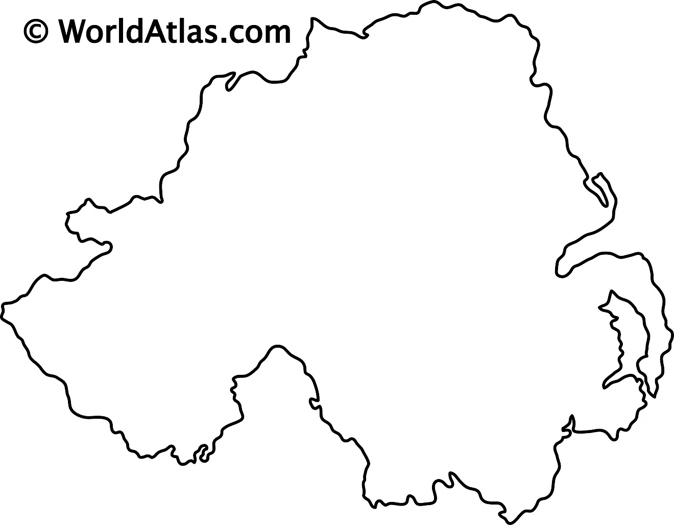
The above blank map represents Northern Ireland, a constitutionally distinct region of the United Kingdom, located in the northeastern part of the island of Ireland. The above map can be downloaded, printed, and used for geography education purposes like map-pointing and coloring activities.
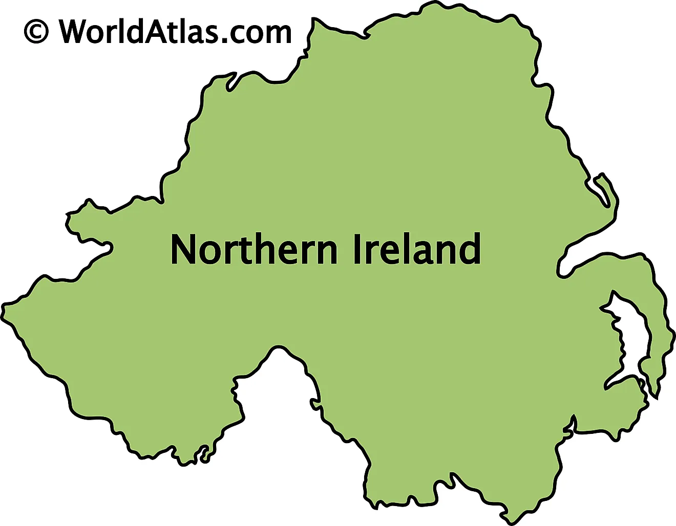
The above outline map represents Northern Ireland, a constitutionally distinct region of the United Kingdom, located in the northeastern part of the island of Ireland.
Key Facts
| Legal Name | Part of Northern Ireland |
|---|---|
| ISO 3166 Code | UK-UKNI |
| Capital City | Belfast |
This page was last updated on April 24, 2023
