What And Where Are The British Isles?
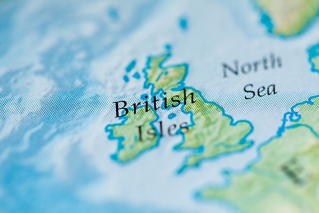
The British Isles are a concentration of islands in the North Atlantic. They include Great Britain, Ireland, the Isle of Man, the Inner and Outer Hebrides, the Northern Isles, and a number of smaller islands. The islands cover an estimated area of 121,684 square miles and have a population of about 70 million people. Two sovereign states are part of the islands: the United Kingdom of Great Britain and Northern Ireland and the Republic of Ireland. The rest of the islands are either claimed or disputed.
The islands of Sark, Guernsey, Jersey, and Alderney are sometimes regarded as part of the British Isles, but they are geographically closer to France and are not part of the archipelago.
Geography Of The British Isles
The British Isles are located in a region where tectonic movements resulted in several mountains. During the Ordovician and Silurian periods, several tectonic plates collided to form mountains in Ireland and northern Britain. During these collisions, several islands were formed. Exposure to glaciations over millions of years has shaped the islands into what they are today. Ireland and Great Britain are the two largest and most populated islands, but 134 more are permanently inhabited.
The islands have a low altitude. Holme Fen in Cambridgeshire is the lowest point with an altitude of -2.75 m, while the highest part of the Isles is Ben Nevis in the Scottish Highlands at 4,413 ft. The lakes in the British Isles are not large; Lough Neagh, a freshwater lake in Northern Ireland, is the largest with an area of 150 square miles.
Demographics Of The British Isles
England accounts for 80% of the approximately 70 million people in the Isles, and as a result, it is densely populated. The rest of Great Britain and Ireland experience high population density in cities and towns. Greater London is the most populated metropolitan area with 8.9 million, followed by the Greater Manchester and West Midlands conurbations with 2.9 million each. The most populated metropolises outside England are Greater Glasgow with 1.2 million and the Greater Dublin Area with 2 million.
Politics In The British Isles
The UK governs its territories (Great Britain, Northern Ireland, and smaller islands). Ireland is an independent, self-governing country, while the Isle of Man is a crown dependency. The British–Irish Council promotes collaboration within the Isles. It was created in 1999 and consists of members from all territories within the Isles. Although the Council has no executive power, it meets biannually to discuss matters of mutual importance to the region.


