Maps of Cameroon
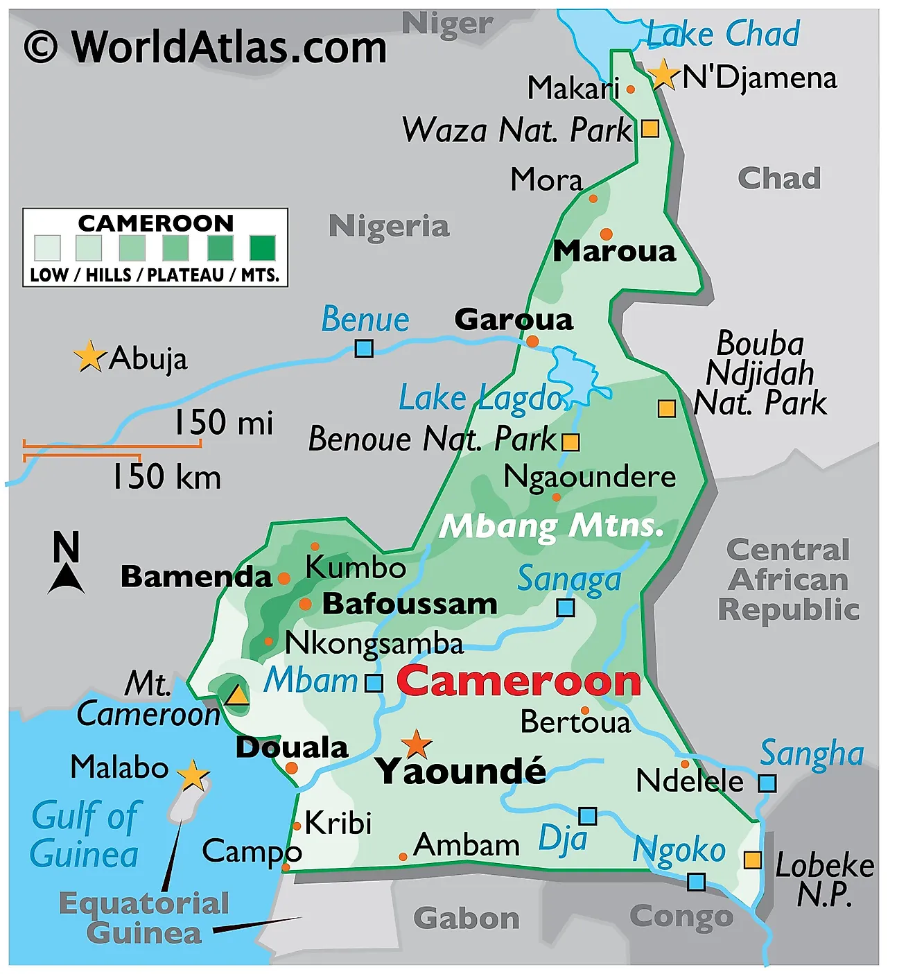
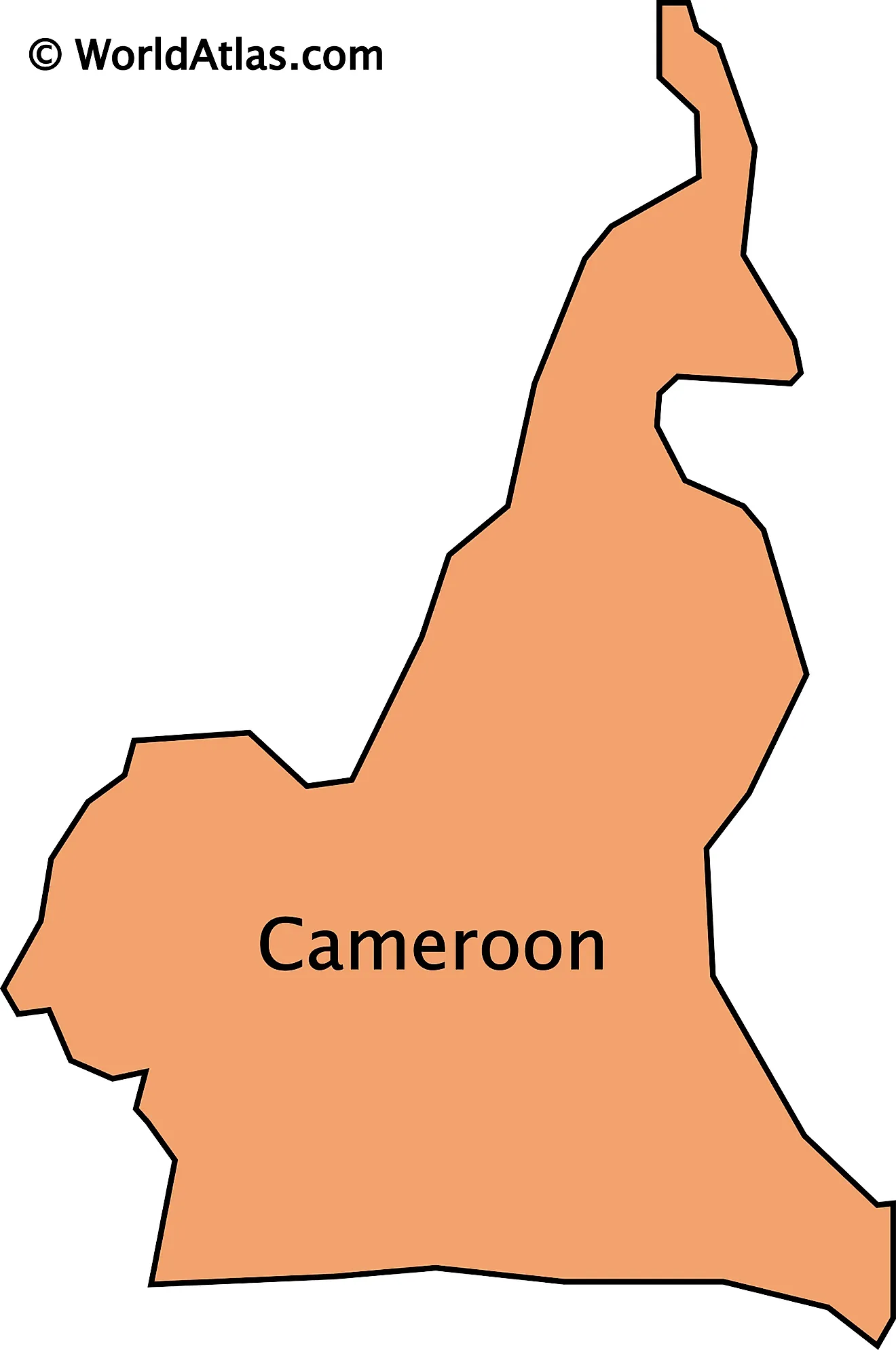
Cameroon is a Central African country covering an area of 475,442 sq. km.
Cameroon is sometimes called "Africa in miniature" as it features a variety of geographical regions like mountains, desert, savanna, rainforest, and coastal plains.
The physical map above illustrates the country of Cameroon, from the low and marshy coastal area in the south to shores of Lake Chad in the extreme north.
The densely forested coastal plain of the country stretching inland from the Gulf of Guinea is around 20 to 80 km wide. From there the elevation of the land rises to around 500 to 600 m in the central Mbang Mountains. The region is covered by dense tropical rainforest. To the north of Benoue National Park, the land slopes into a savanna plain that extends to the shores of Lake Chad. In the far southwest, on the edge of the Gulf of Guinea, Cameroon is mountainous. As marked on the map, this region has the active volcano of Mt Cameroon, which at 4,070m is the highest point in West Africa.
Significant rivers include the Dja, Nyong, and Sanaga. Cameroon's lowest point is the Atlantic Ocean (0 m).
Regions of Cameroon Map
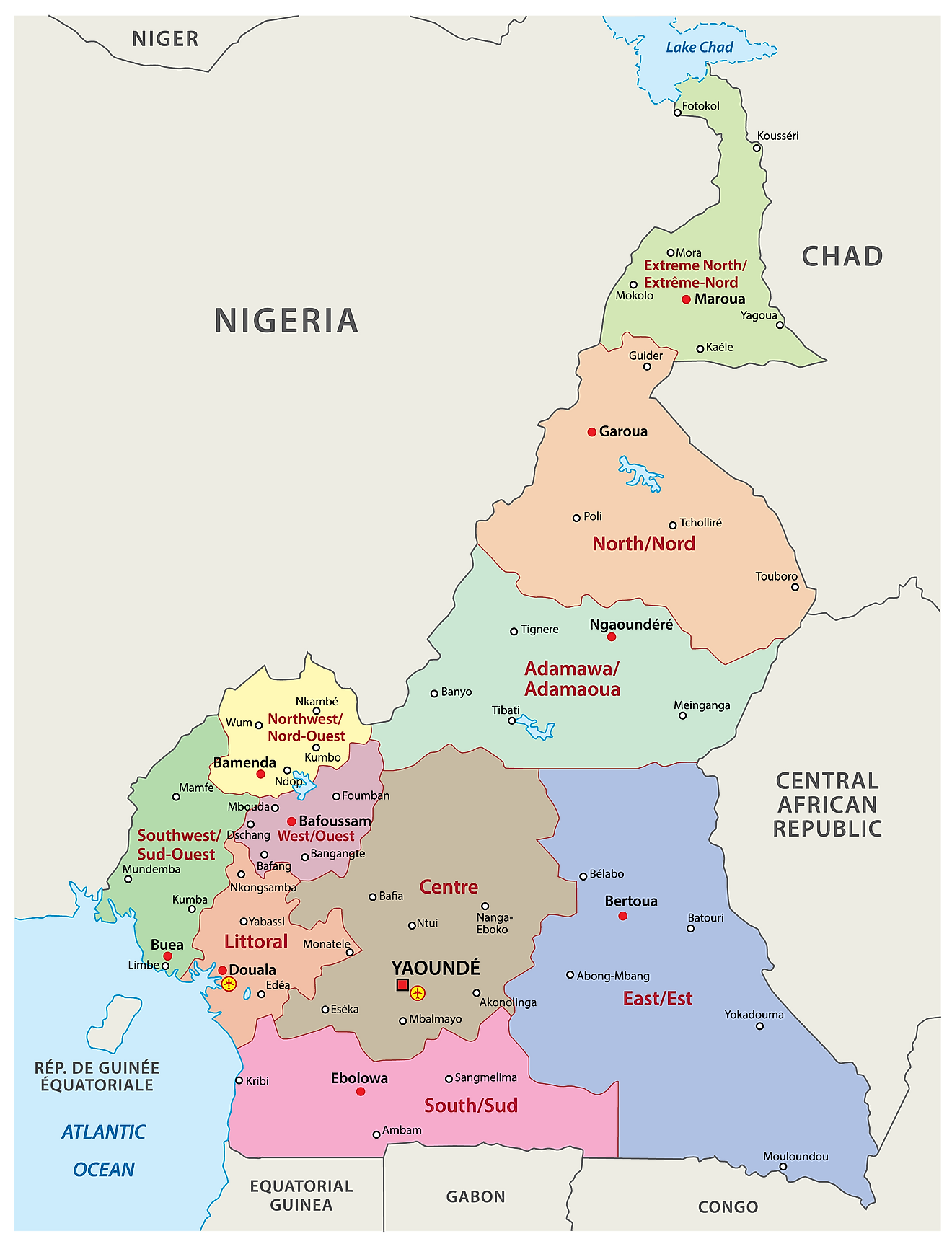
Cameroon is divided into 10 semi-autonomous regions that are subdivided into 58 divisions. These divisions are then divided into arrondissements and finally districts.
The 10 regions of Cameroon in alphabetical order are as follows: Adamaoua, Centre, East (Est), Far North (Extreme-Nord), Littoral, North (Nord), North-West (Nord-Ouest), West (Ouest), South (Sud), South-West (Sud-Ouest).
With an area of 109,002 sq. km, East Cameroon is the largest region and Central Cameroon is the most populous one. Yaoundé, located in the Centre Region, is the national capital city.
Where is Cameroon?
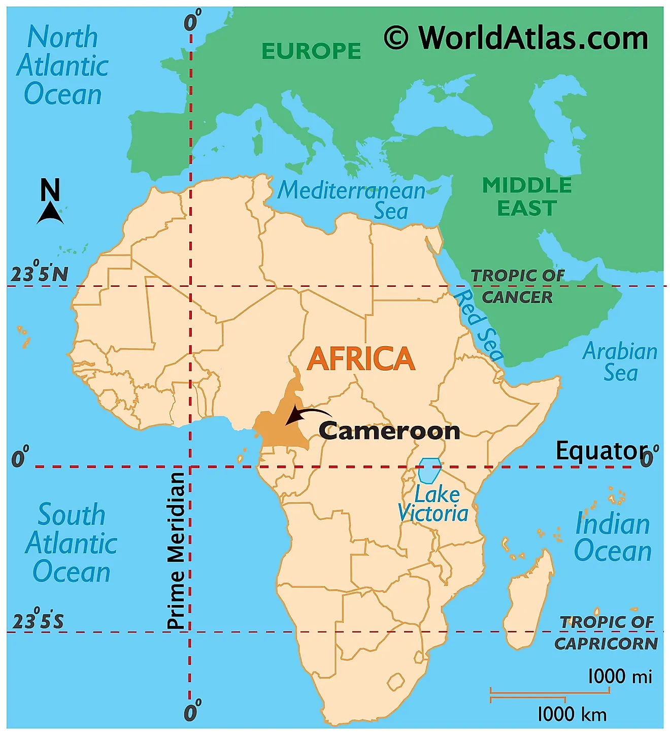
Cameroon is a country located in Central Africa in the Northern and Eastern Hemispheres of the Earth. Seven countries border Cameroon. The country is bounded by Nigeria to the north and west. The Central African Republic and Chad borders it to the east and northeast. To the south, it is bordered by the three countries of Gabon, the Republic of the Congo and Equatorial Guinea.
Cameroon Bordering Countries: The Central African Republic, Gabon, The Congo, Nigeria, Equatorial Guinea, Chad.
Regional Maps: Map of Africa
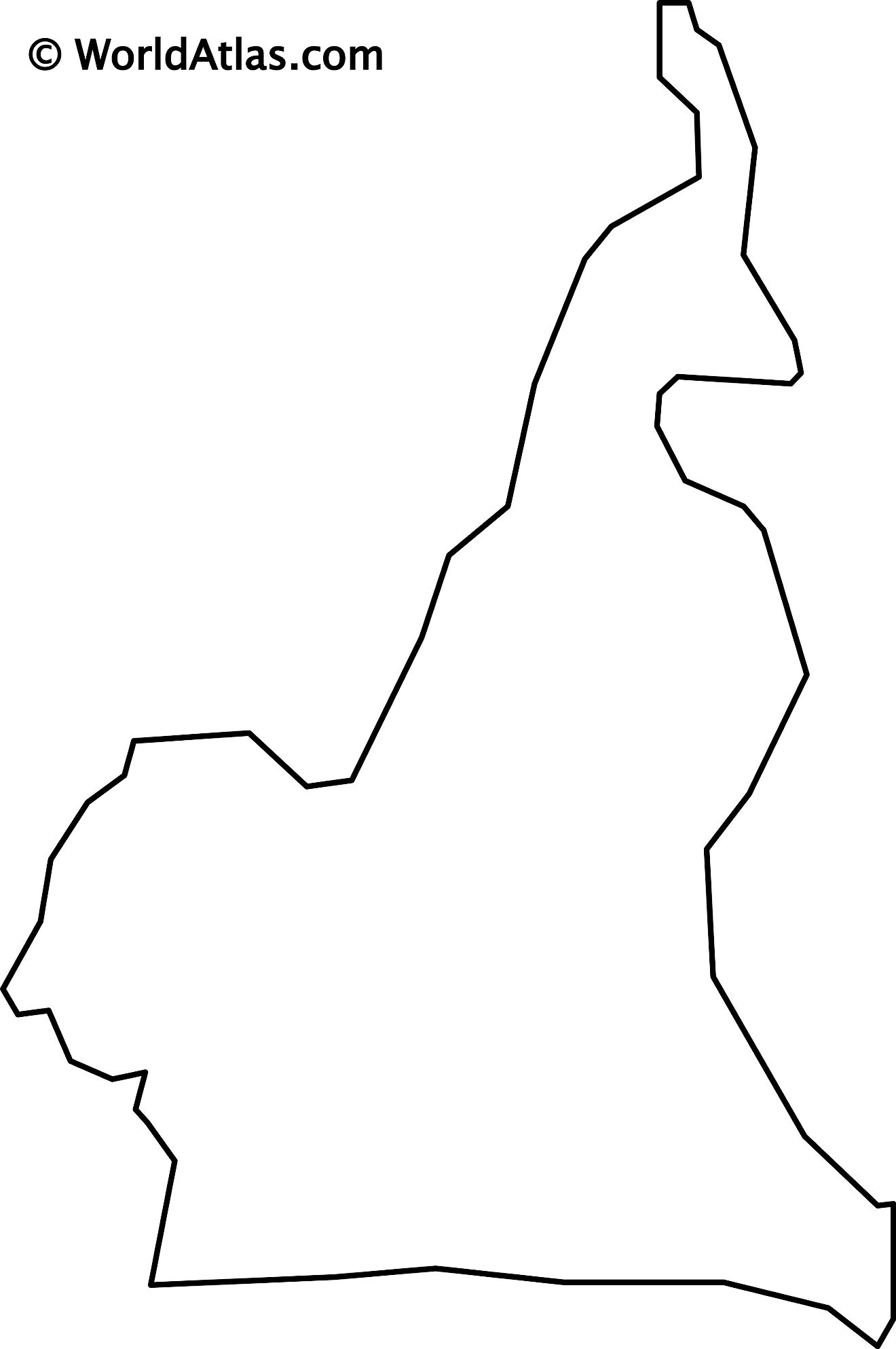
Outline Map of Cameroon
Key Facts
| Legal Name | Republic of Cameroon |
|---|---|
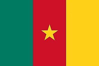
| Flag |
|
| Capital City | Yaounde |
| 3 52 N, 11 31 E | |
| Total Area | 475,440.00 km2 |
| Land Area | 472,710.00 km2 |
| Water Area | 2,730.00 km2 |
| Population | 25,876,380 |
| Major Cities |
|
| Currency | Cooperation Financiere en Afrique Centrale francs (XAF) |
| GDP | $38.76 Billion |
| GDP Per Capita | $1,497.91 |
This page was last updated on February 24, 2021
