The Most Beautiful Rivers in New England
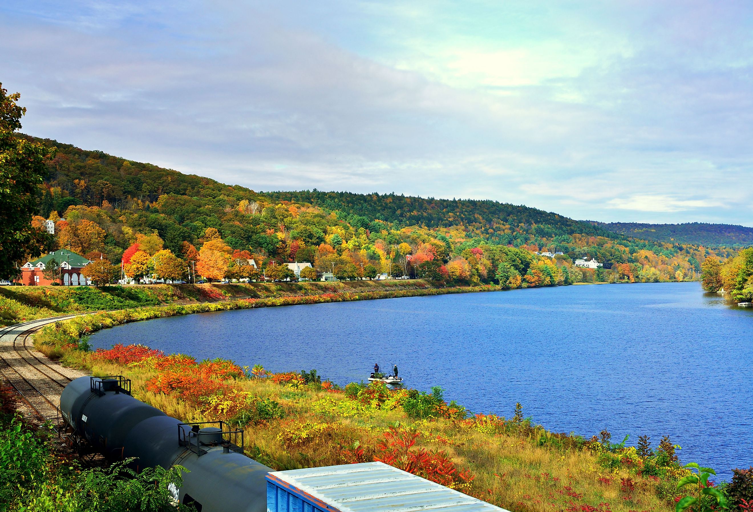
New England is famous for its beauty and diverse landscape. The Appalachian Mountains and rolling hills dominate the western and northern regions, while a narrow, coastal plain is the hallmark of the southeast. It is, therefore, understandable that people consider the New England states some of the prettiest places to visit in the US. While some go there to experience life in the beautiful small towns, there are many who prefer the majesty and magnetic charm of the region’s rivers and the land that surrounds them.
Concord River
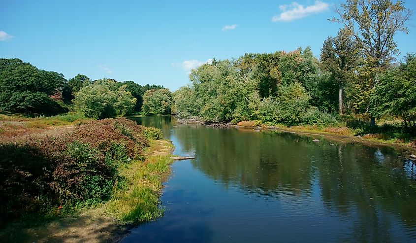
Not all New England rivers are equal. One of the smaller and gentler ones is the Concord River, best known because it was the site of a historic battle during the American Revolutionary War. The famous writer, poet, and naturalist, Henry David Thoreau even wrote a book titled A Week on the Concord and Merrimack Rivers, and the river is still a popular canoeing spot today. Its local fish population suffered over time though, because of the dams built on it to provide power to still-functioning mills of the time.
Charles River
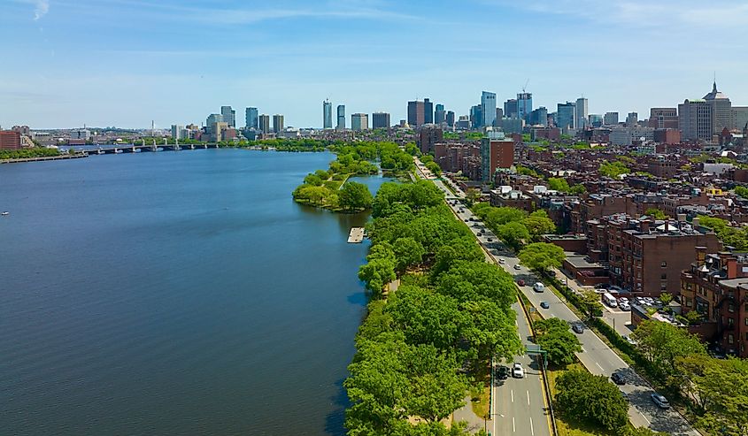
Stretching over 80 miles, the Charles River flows across 23 towns and cities and ends directly in the Boston Harbor. It is one of Boston's most famous and beloved landmarks, and the area around it is a hub of recreational activity throughout most of the year. It was, however, highly polluted at one point. So much so, that toxic, chemical plumes colored parts of the river orange and pink, and the government had to close it for swimmers. Although the situation is very much under control now, swimming without a special permit is still not allowed.
Deerfield River
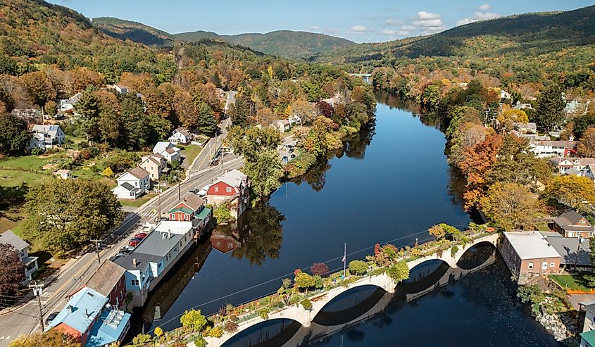
Deerfield has the title of being "New England's hardest-working river," because of how much people have used it through the centuries. Currently, there are hydroelectric dams throughout the length of it, one every seven miles or so. It is also a popular fishing and whitewater paddling spot, and its "Bridge of Flowers," with more than 500 types of annuals and perennials, is a notable attraction.
Connecticut River
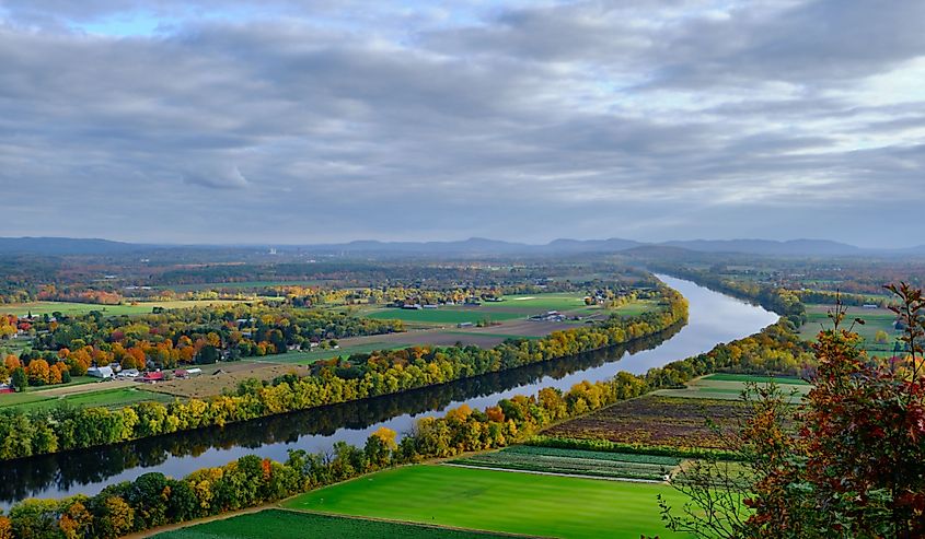
As the longest river in New England, the Connecticut River runs through four states. The area around it is great for farming, with inhabitants settling in the region 6,000 years ago. The southern part of the valley is more of an urban center now, but the northern part is still predominantly agricultural. In 1997, the Connecticut River became one of the "14 American Heritage Rivers." This motivated authorities to work on its restoration, and it evolved from Class D to Class B—which means it is now "fishable and swimmable."
Sudbury River
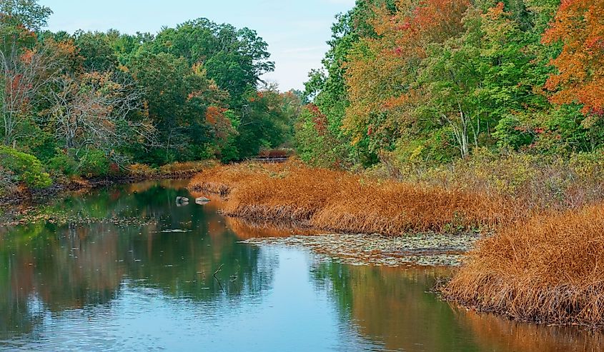
A tributary of the Concord, the Sudbury river originates in Cedar swamp and continues for around 32.7 miles. Over half of the river received recognition as being part of the National Wild and Scenic Rivers System because of its outstanding ecology, history, scenery, recreation values, and place in American literature. One of Sudbury's recent problems is the invasive water chestnut plant species, which if allowed to spread unchecked can destroy many habitats.
Merrimack River
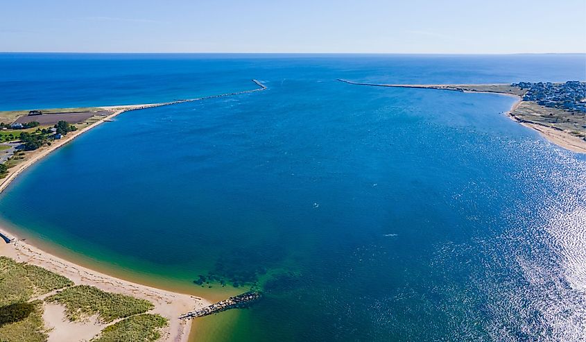
Beginning in New Hampshire, the Merrimack River is around 117 miles long. It provides drinking water to 500,000 people in five Massachusetts communities, which officials hope increases to 700,000 with the addition of more infiltration systems. Since the Merrimack River provided energy to many textile industry units in the past, that has impacted its water quality, but many stakeholders are working to improve it.
Saugus River
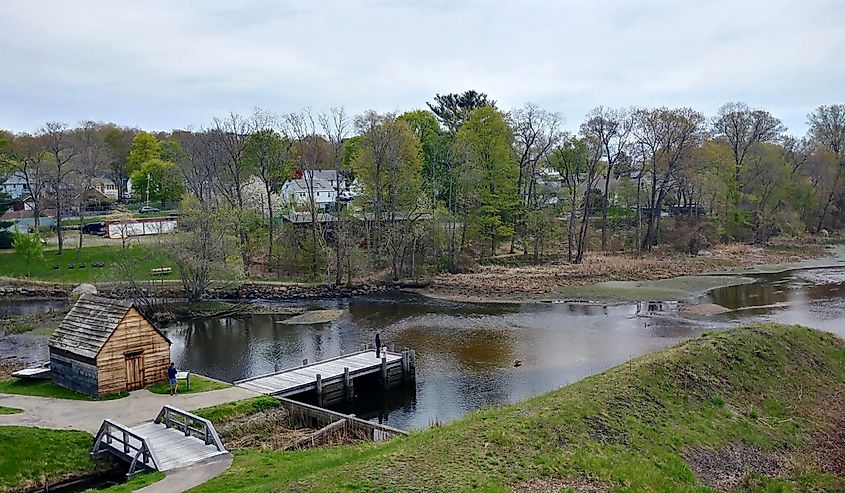
The Saugus River is approximately 13 miles long and has an interesting history. In the 1640s, the Saugus Iron Works needed water to power its machines so the authorities built dams upstream of the river to create a reservoir. Eventually, the Iron Works closed down after severe controversy and the locals petitioned for the dam's removal. When they realized no one was paying attention to their demands, they took matters into their own hands and removed the dam themselves in the dead of night. The Saugus has flown freely since then.
Taunton River
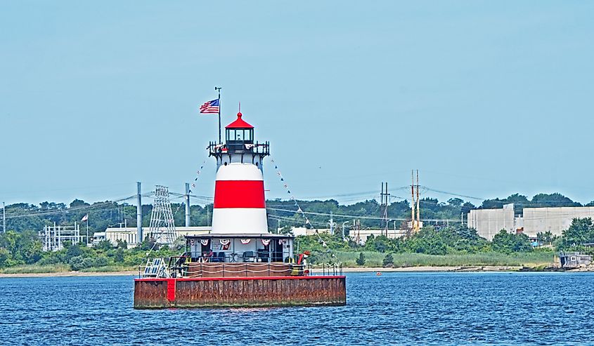
What sets Taunton River apart from the others is that at a length of 37 miles, it is the longest coastal river in New England without any dams. It has a diverse ecological system with over 154 species of birds and 29 species of fish discovered in and around it. Since it is directly connected to the Atlantic Ocean, people have also sighted some marine animals that are not usually found in rivers. These include a young harp seal, a young beluga whale, and even a basking shark.
Bass River
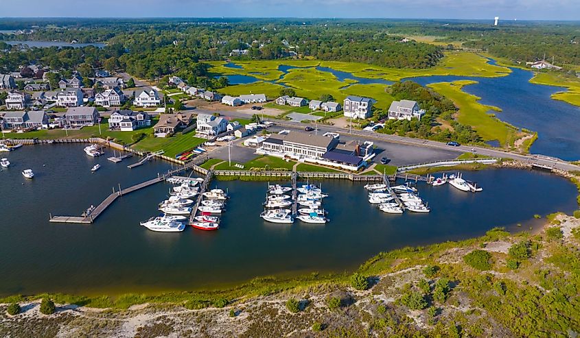
An estuary and village in South Yarmouth, Bass River's name comes from Jeremiah Basse, an ex-governor of East and West Jersey. Marsh Island divides the river into two parts, with a friendly rivalry between the two clubs on either side. Since 2020, a rising environmental concern is for the increasing nitrogen levels in the water, which can make the water unsafe for recreational activities.
Housatonic River
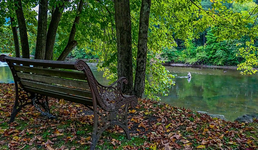
The 149-mile-long Housatonic River was a center for fishing and hunting. The indigenous people who lived there even tried to set up the Indian Town of Stockbridge in the river valley, but became displaced once European settlers made their way there. Today, the river is one of Connecticut's most popular spots for kayaking, fishing, and even camping.
Ipswich River
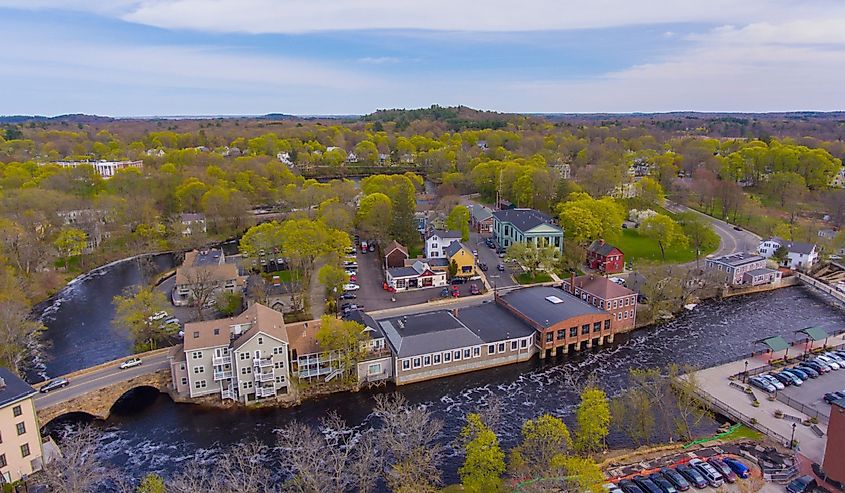
Ipswich River's first known owner was John Winthrop who bought the river and the lands along it for 20 pounds sterling from Chief Masconomet of the Agawam tribe in 1638. At 35 miles long, this is one of the smaller rivers in Massachusetts but is popular now for the Ipswich River Wildlife Sanctuary, which includes 12 miles of trails spread across forests, meadows, and wetlands, and houses many species of birds and other wildlife.
Ottaquechee River
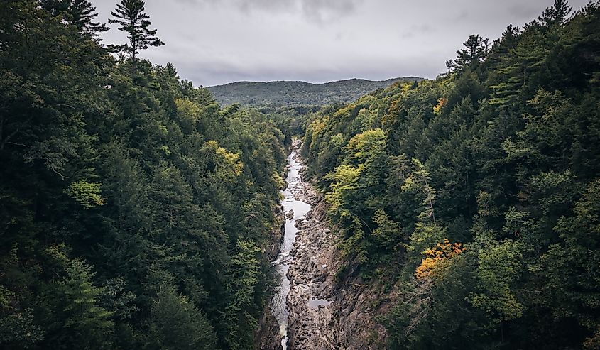
Often called "Vermont's Little Grand Canyon," the Quechee Gorge is a must-see for anyone visiting Vermont for the first time. The Otaquechee River flows through the gorge and adds to its beauty. Visitors can enjoy hiking on the trails around the river or experience its beauty up close while whitewater rafting.
Kennebec River
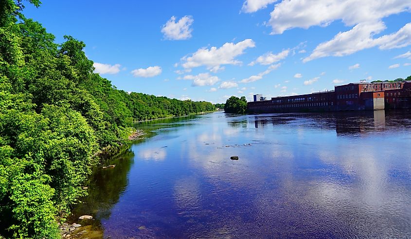
The Kennebec River runs for about 170 miles and is almost entirely in Maine. The construction of Edwards Dam in 1837 impacted the presence of local fish in the river. After the dam's removal, in 1999, the ecosystem began healing itself. Now, there are more fish and other animals within and around the river. The dam's removal helped promote human activity as well, as the river is now a prime recreational spot for whitewater rafting, kayaking, canoeing, and fishing.
The New England rivers offer something for everyone. Those adventurous and outdoorsy can indulge in whitewater rafting, or other recreational water activities, while less adventurous individuals might prefer to soak in the beauty of the rivers' landscape while enjoying leisurely walks and relaxing picnics in their vicinity.

