This Great Lakes Scenic Byway Is The Road Trip Of A Lifetime
The Great Lakes Seaway Trail stretches for about 520 miles east to west and provides you with an excellent taste of the Great Lakes Region, ranging from northern Pennsylvania to the very top of upstate New York along the St. Lawrence River. Nationally recognized for its year-round beauty and plethora of noteworthy stops, be it forts dating back to the War of 1812, state parks, scenic roadside viewpoints, countryside farming communities, former/current industrial centers, or the over 29 different lighthouses, this route appeals to a wide variety of adventurers.
Separated into five distinct sections, here is a brief overview of some of the best sights and sounds you can experience for yourself should you decide to embark on a journey across this iconic American byway.
Pennsylvania

The brief Pennsylvanian stretch of the Great Lakes Seaway Trail runs for about 60 miles along Lake Erie, beginning in the city of Erie and continuing northeast toward the town of North East near the New York border. This section is defined by some of the country's most productive vineyards, tons of lake access points, and a series of small to medium-sized coastal communities.
For one, Presque Isle State Park, located just outside of downtown Erie, functions as one of the region's central natural landmarks, with beaches, lagoons, and a paved trail system that outlines the peninsula it sits on. The Tom Ridge Environmental Center will provide some very useful information on the area’s diverse geology and wildlife. Travelers moving east will also encounter the working harbors at Erie’s bayfront, which include cool spots like the Bicentennial Tower and the Maritime Museum.
Farther along, the route passes through a number of wine-producing districts supported by the region’s lake-moderated climate. Notably, this is the epicenter of production for the Welch's company. Then, more public viewpoints near Freeport Beach and the North East Marina give clear, less crowded sightlines across the water, with Lake Erie stretching toward the distant Canadian shore, although Ontario is not visible from these viewpoints.
The Niagara Region

This next segment goes from the rural community of Ripley to Hamlin Beach State Park, following a steady route along eastern Lake Erie and western Lake Ontario. This region is marked by a sea of orchards, towering shoreline bluffs, and yet more modest lakeside towns and cities.
Moving through Westfield, where the unmistakable Barcelona Lighthouse stands as an early navigational landmark tied to the lake’s shipping history, you'll eventually get to Dunkirk, where the waterfront includes piers suitable for launching all sorts of personal and commercial crafts and more lighthouse fun at its small maritime display at the Dunkirk Lighthouse complex.
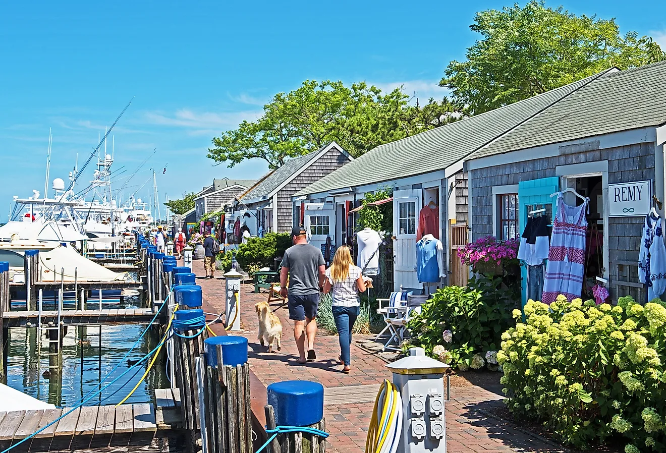
Continuing east, you'll pass through lush countryside known for fruit production (especially peaches) before reaching the larger harbor area in Buffalo’s outskirts, where breakwaters and mammoth-sized grain elevators that hold shipments from the distant prairies out west exemplify the city's skyline from the shore. Be sure to spend some time in downtown Buffalo as well, where you can possibly catch a Bills or Sabers game, or grab some pub grub at the famed Anchor Bar, the alleged home of Buffalo wings.

Beyond the city, the landscape returns to a rural pattern after reaching the American side of Niagara Falls, where viewing platforms in the adjacent Niagara Falls State Park peer over the rushing waters below.
This section of the route ends at another excellent state-run parkland, another 75 miles east: Hamlin Beach State Park. Situated on the southern shores of Lake Ontario, this locale boasts a pleasant system of trails, historical remnants from former Civilian Conservation Corps operations, and long, open views across the water.
West Lake Ontario

The road from Hamlin Beach to the city of Oswego traces the remaining western shore of Lake Ontario. Here, the Great Lakes Seaway Trail passes through several more rural communities, like Hilton and Parma, before reaching the shorter Lake Ontario State Parkway’s transition toward suburban Rochester.
Near the hamlet of North Greece on Rochester's western outskirts, you can access a number of semi-urban green spaces like the Braddock Bay complex, a key wetland area known for bird migrations and well-maintained observation platforms. Entering the Rochester shoreline, the route then intersects with the Charlotte-Genesee Lighthouse and the pier system at the mouth of the Genesee River, illustrating the region’s long history associated with commercial navigation, a legacy that eventually built up the busy northern city it stands in today.

East of Rochester, the road cuts through a series of quaint residential areas and lakeside nature preserves before veering off onto Highway 104 at Sodus Bay. Approaching Oswego, the byway connects you directly to Fort Ontario, a major military site dating back to the 18th century, and the Finger Lakes Region down south, a major summer vacation hub for New Yorkers. Oswego is also a great spot to fill up on gas, grab a bite to eat at one of many restaurants within its borders, or even spend the night in its historic downtown core lining the Oswego River.
East Lake Ontario

The journey from Oswego to Cape Vincent follows a meandering coastal route shaped by deep river inlets, even more historic fortifications, and countless other rural odds and ends. Leaving Oswego, the byway tracks the far eastern flank of Lake Ontario toward the Salmon River corridor, where a collection of public access points near Selkirk Shores State Park can transport you to pristine natural landscapes of sandy dunes, marshes, and rocky vistas over the open waters of the Great Lakes.
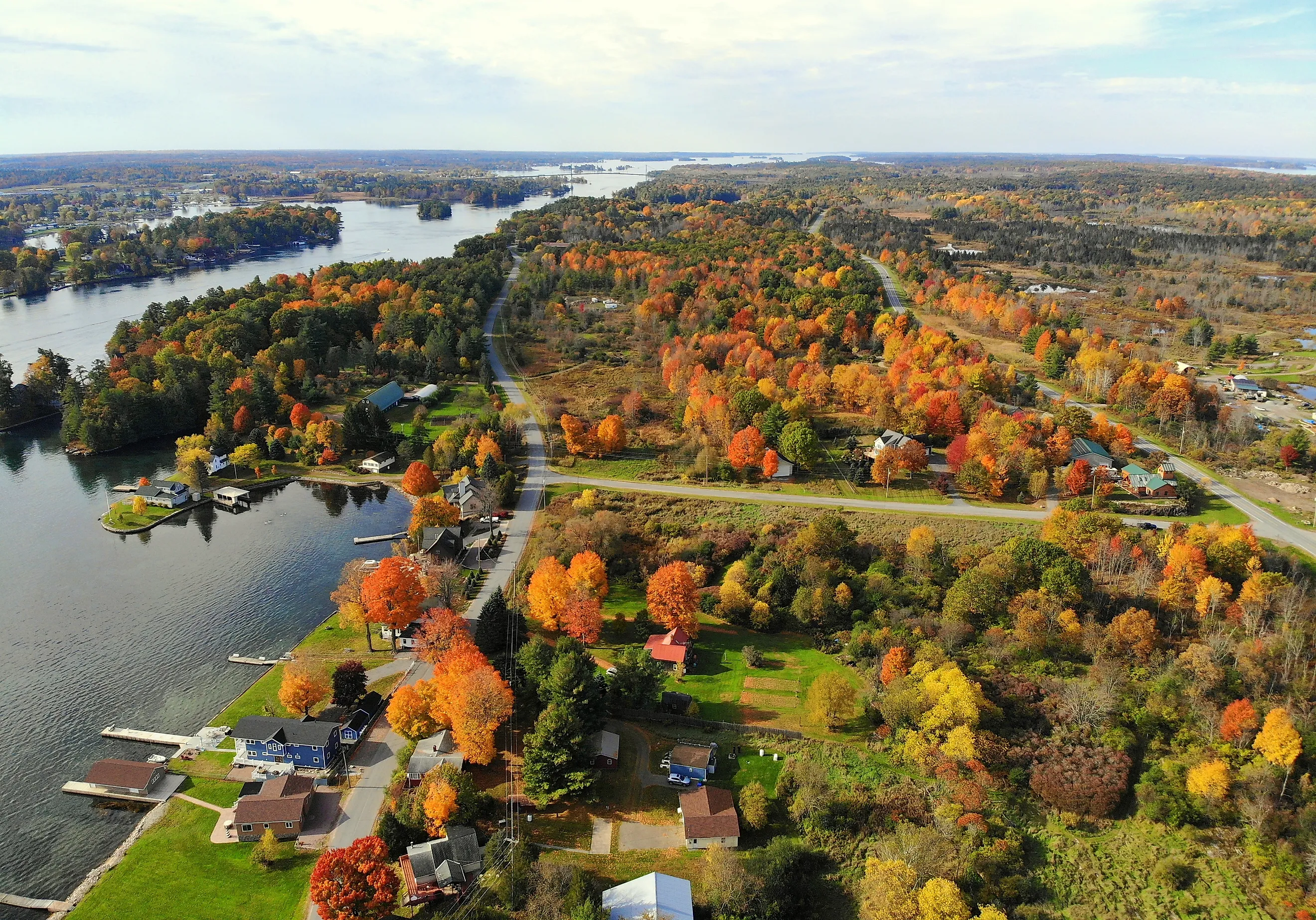
Farther north, the Great Lakes Seaway Trail reaches the village of Port Ontario and continues through heavily forested and farmed terrain before arriving at Robert G. Wehle State Park, known for its sheer cliffs and picturesque shoreline trails. Then, entering the renowned Thousand Islands region after passing the city of Watertown, the landscape transitions to a mix of islands, shoals, and navigation channels.

Lastly, as drivers approach Cape Vincent, they will encounter sights such as Tibbetts Point Lighthouse, strategically positioned at the junction of Lake Ontario and the St. Lawrence River. This nice little community makes for a great place to rest, too, whether you want to grab a glass of wine at The Cape Winery, a colder beverage at Cape Vincent Brewing Company, or a comfy overnight room at the old-timey Roxy Hotel.
The St. Lawrence River

Ending just outside the Massena Port of Entry on the Canadian border, the last bit of road on the Great Lakes Seaway Trail skirts almost entirely along the St. Lawrence River through a corridor chock-full of close-by islands, historic landmarks, and riverside towns at the far northern reaches of upstate New York.
The route enters the vicinity of Clayton, where the Antique Boat Museum documents the region’s long relationship with wooden watercraft and other unique forms of river navigation. Due east, Alexandria Bay is perhaps the most well-known settlement in the area, boasting easy access to iconic sites like Boldt Castle and a surrounding network of islands in the middle of the St. Lawrence. The most notable of these is Wellesley Island, reachable by bridge or ferry, housing anything from summer homes to golf courses, parks, and other cottage country attractions!

Continuing along the shoreline, you will pass through Waddington, a handful of campgrounds, and more parks paralleling the river’s shipping channel. Then moving on to Massena, the Moses-Saunders Power Dam and its related Hawkins Point Visitors Center spark interest among infrastructure enthusiasts, with the scale of this vital hydroelectric system showing off how modern needs have physically reshaped this section of the waterway.
Finally, the trail ends at the U.S. Customs and Border Protection facilities near the international crossing. If you intend on heading south toward New York City after, you can continue east towards Malone before descending down through the Adirondack Mountains and then arriving at the Hudson Valley. This trip along the Great Lakes Seaway Trail through the Great Lakes Region of Pennsylvania and New York is sure to leave you with memories to last a lifetime.