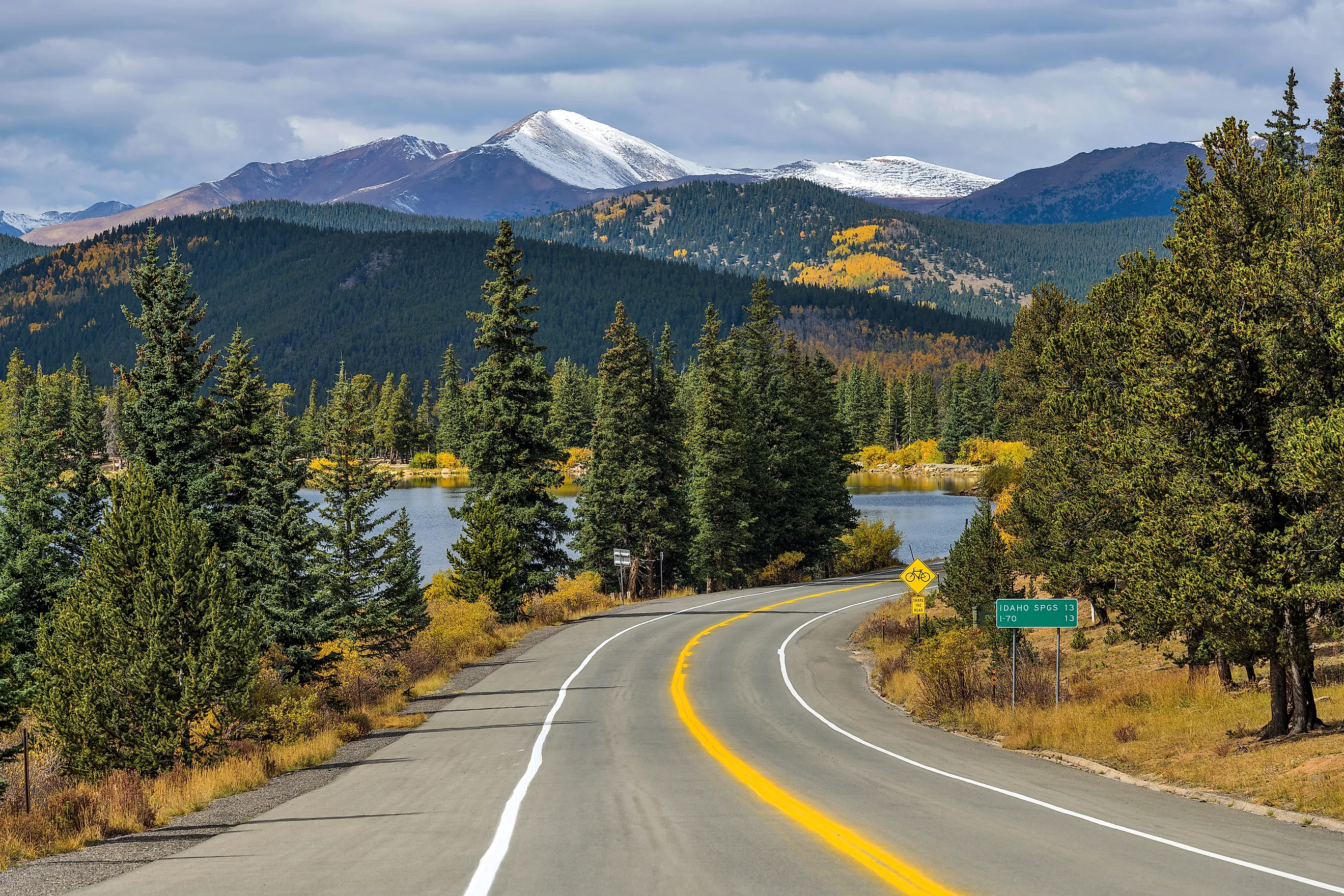
The Highest Paved Roads In The United States
A handful of paved roads will carry your car almost to the top of a Colorado fourteener. Several climb past 12,000 feet into alpine tundra where trees stop growing. Colorado holds nearly all of them, thanks to a mining-era road network that pushed high into the Rockies. The elevations here mark the top of continuously paved public roads open to any passenger vehicle. Some routes shut down under winter snow. Others carry traffic across the mountains for much of the year.
Mount Blue Sky Scenic Byway, Colorado - 14,130 Feet

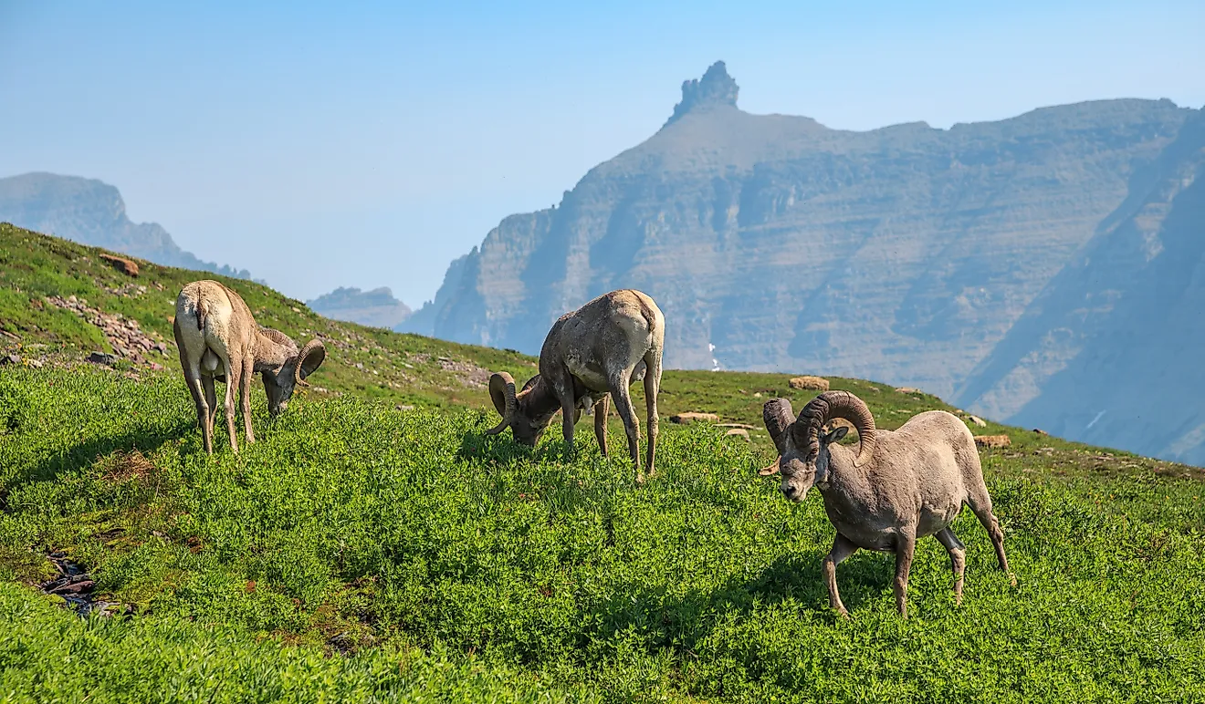
The Mount Blue Sky Scenic Byway ends higher than any other paved road in the country, at 14,130 feet. Drivers start near Idaho Springs and wind up through spruce and fir before the trees quit near the tundra line. At the top, bighorn sheep and mountain goats often graze within camera range of the parking area. Summit Lake Park makes a good stop partway up, and a short walk from the upper lot reaches the 14,264-foot summit of Mount Blue Sky. Nothing about this drive resembles a normal pass, because there is no valley waiting on the far side. The pavement just keeps gaining elevation until a passenger car sits above many of Colorado's most famous peaks.
Pikes Peak Highway, Colorado - 14,115 Feet

Not many road trips finish on top of a fourteener, but the Pikes Peak Highway does exactly that. The fully paved toll road runs about 19 miles up out of the foothills west of Colorado Springs, cresting at 14,115 feet, roughly 15 feet shy of Mount Blue Sky. The scenery shifts with every thousand feet gained. Pine forest thins into open switchbacks where the surrounding ranges drop away below the guardrails. Several overlooks invite a pause before the last push to the top. At the summit, the Pikes Peak Summit Visitor Center serves the high-altitude doughnuts that regulars drive up for. The highway gains more than 6,000 feet along the way, reaching one of the highest points any driver can reach on pavement in North America.
Trail Ridge Road, Colorado - 12,183 Feet

A single drive across Rocky Mountain National Park passes through several ecological zones, and Trail Ridge Road is that drive. US 34 leaves the forests near Estes Park and tops out at 12,183 feet, the highest continuous paved through-road in the United States. More than ten miles of the route stay above 11,000 feet, so the alpine views last far longer than one quick summit. Forest Canyon Overlook opens onto a deep glacial valley, and pullouts farther west face the Never Summer Mountains. Staff at the Alpine Visitor Center answer questions near the road's high point. Elk graze the meadows below, and marmots whistle from the rocks above the tree line. The road eventually drops toward Grand Lake, giving the trip a real beginning and end. Each spring, plows clearing the top section signal that Colorado's summer has arrived.
Cottonwood Pass, Colorado - 12,126 Feet

The Continental Divide shows up almost as soon as a car reaches Cottonwood Pass. Colorado's road climbs west from Buena Vista through the Collegiate Peaks to a 12,126-foot summit, where a short path leads to a wider view. The eastern approach curves up through forest, then breaks into tundra where the trees thin near the top. The western side stayed gravel for decades until crews finished paving it in 2019. That work made the crossing between the Arkansas River Valley and Taylor Park a continuous hard-surface route. Drivers heading west drop toward Taylor Reservoir, a summer spot for boating, fishing, and camping under the Sawatch Range. Fewer buildings stand around this summit than at many famous Colorado passes, so the high-country view stays open and the tree line is easy to read.
Independence Pass, Colorado - 12,095 Feet

Waterfalls, cliffs, mining ruins, and tight switchbacks all crowd into one stretch of Colorado Highway 82 near Aspen. The road tops out at 12,095 feet on the Continental Divide, where a paved overlook and short trails face the Sawatch Range. On the west side, drivers pass the ghost town of Independence, where surviving cabins date to the silver rush of the late 1800s. Below the ruins, the highway follows the Roaring Fork River down toward Aspen. The eastern descent runs toward Twin Lakes, two large alpine lakes set beneath some of the state's tallest peaks. Narrow sections and a yearly snow closure preserve the old mountain-road feel. The quick jump from wooded valley to bare tundra is the reason the summit feels earned.
Loveland Pass, Colorado - 11,990 Feet

Most Interstate 70 traffic slips under the Continental Divide through the Eisenhower-Johnson tunnels and misses a fine drive overhead. US 6 leaves the interstate and climbs over Loveland Pass at 11,990 feet, on the line between Clear Creek and Summit counties. The summit sits in open tundra, and trails along the Continental Divide start right at the parking lot. Skiers know the spot well, since Loveland Ski Area runs down the eastern side. Unlike Colorado's seasonal high roads, this one stays in service through winter when conditions allow. Trucks hauling hazardous loads that cannot use the interstate tunnels get routed over the top instead. For everyone else, the payoff is simple: minutes off I-70, the highway reaches snowfields and bare rock that feel a long way from the corridor below.
Guanella Pass, Colorado - 11,669 Feet

This climb starts in Georgetown, an unusually good base with a Victorian-era downtown. The paved scenic byway leaves town along creeks and forest, then opens onto tundra at the 11,669-foot summit. Mount Bierstadt, one of Colorado's most-climbed fourteeners, rises just east of the pass and dominates the view. Hikers set off toward Bierstadt from the Guanella Pass trailhead, while drivers can take in the same peaks from the roadside. The southern descent tracks Geneva Creek toward US 285, passing campgrounds and quiet forest along the way. In autumn, aspen stands lower on the route turn gold. The byway runs between two very different sides of the Front Range, which is why it earns a full drive rather than a quick trip to one overlook. Pair it with a stop in Georgetown for the best day.
Hoosier Pass, Colorado - 11,542 Feet

South of Breckenridge, the resort bustle falls away fast as Colorado Highway 9 climbs toward Hoosier Pass. At 11,542 feet, the road crosses the Continental Divide and the line between Summit and Park counties. A wide pullout at the top gives travelers room to stretch and take in a wall of high peaks. The two sides look nothing alike. To the north, the road drops toward Breckenridge and the Blue River Valley. To the south, it spills into the open basin of South Park, where the horizon suddenly pulls back for miles. Short trails, including routes along the Divide, leave straight from the summit. Hoosier lacks the cliffs and pinched lanes of some Colorado high roads, which makes the crossing approachable while still topping 11,000 feet. Its position also makes it an easy leg of a trip linking Breckenridge, Fairplay, and central Colorado.
Slumgullion Summit, Colorado - 11,361 Feet

Slumgullion Summit, in southwestern Colorado, is a very different high-road experience. Colorado Highway 149 reaches about 11,361 feet between Lake City and Creede, crossing the San Juan Mountains on the Silver Thread Scenic Byway. The steep grades draw most of the attention, but the geology nearby is the real draw. Just below the summit lies the Slumgullion Earthflow, a slow-moving mass of rock and soil that has reshaped the ground for centuries. Viewpoints and short trails ring the earthflow, and the road continues toward Lake San Cristobal, Colorado's second-largest natural lake, south of Lake City. Thick forest along the route lights up in autumn as the aspen turn. This corner of the San Juans feels remote next to the ski country farther north. Between the high elevation, the strange geology, and the old mining towns, Highway 149 has a character of its own.
Fremont Pass, Colorado - 11,318 Feet

Mining history is hard to miss on the climb over Fremont Pass. Colorado Highway 91 reaches 11,318 feet between Leadville and Copper Mountain, where the enormous Climax molybdenum mine spreads across the summit ground. High peaks and alpine wetlands sit next to one of the world's best-known molybdenum deposits, a reminder of how closely mining and mountain roads grew up together in Colorado. The highway crosses the Continental Divide, then drops north toward Copper Mountain and Interstate 70. To the south lies Leadville, the highest incorporated city in the United States, where the National Mining Hall of Fame and Museum fills in the region's industrial past. The Tenmile and Mosquito ranges rise into view along the way. Fremont lacks the fame of Independence or Pikes Peak. Still, the mix of extreme elevation, active mining, and easy highway access sets it apart as one of Colorado's most distinctive crossings.
Driving Above The Tree Line
Beyond raw elevation, these roads have one thing in common: access that otherwise takes hours of hard hiking. On Mount Blue Sky and Pikes Peak, a passenger car climbs to ground most people only reach on foot. On Trail Ridge and Independence, the climb itself becomes the attraction, shifting through forest and tundra within a few miles. A handful, like Loveland and Slumgullion, stay open through winter and carry real traffic rather than sightseers alone. Colorado claims nearly the entire list because its mountains and its old mining routes overlap so neatly. For a driver willing to watch the weather and the grades, few places in the country set the alpine world this close to the windshield.