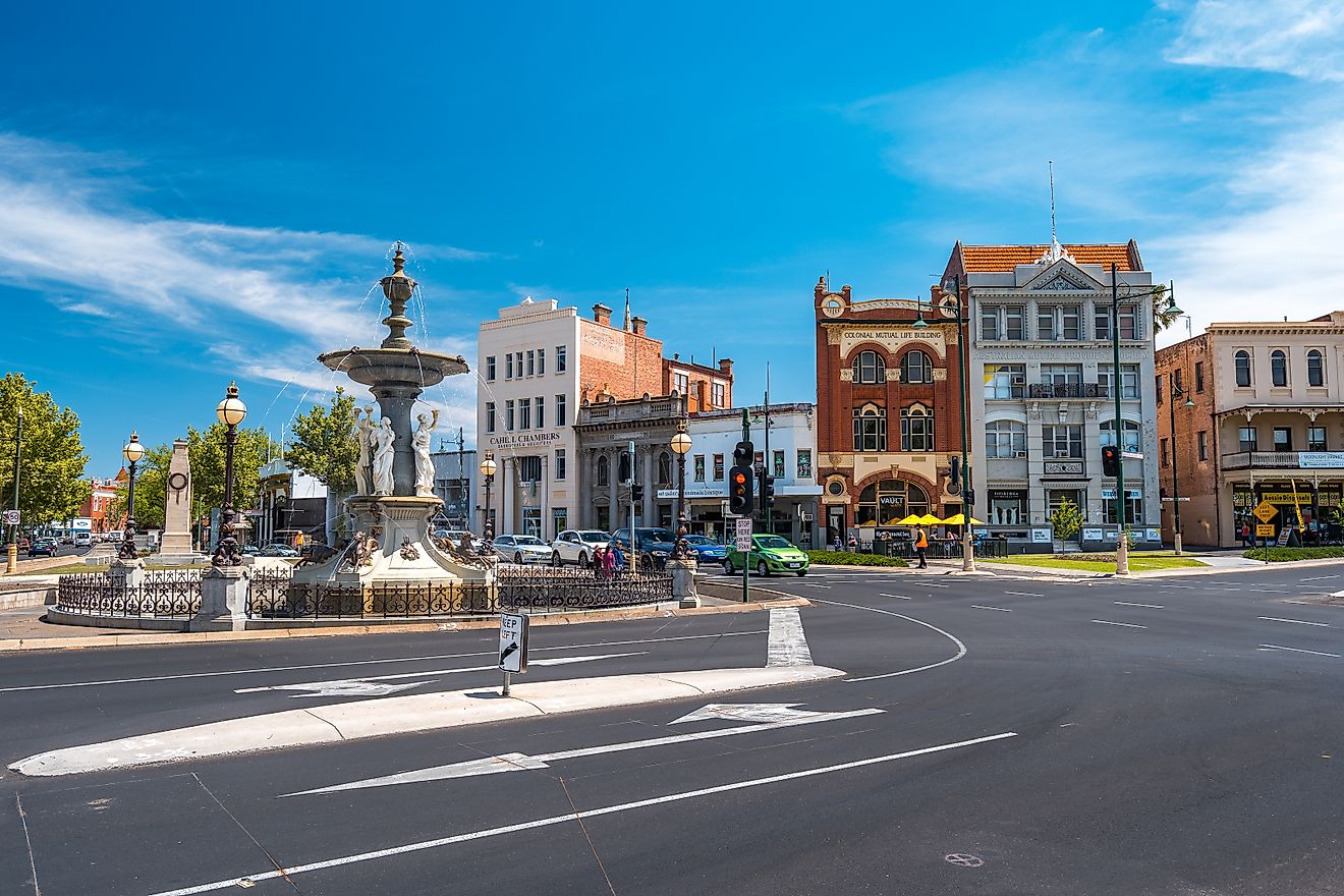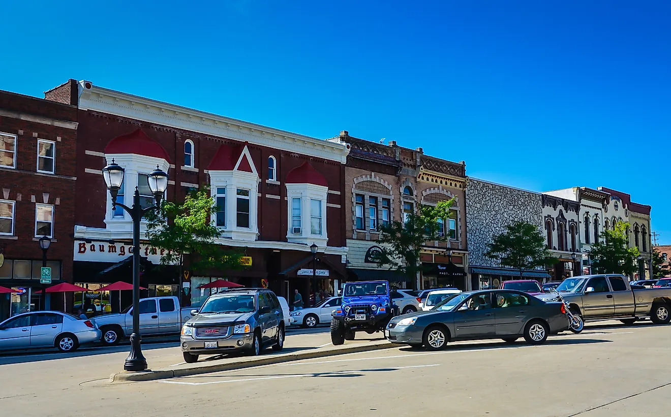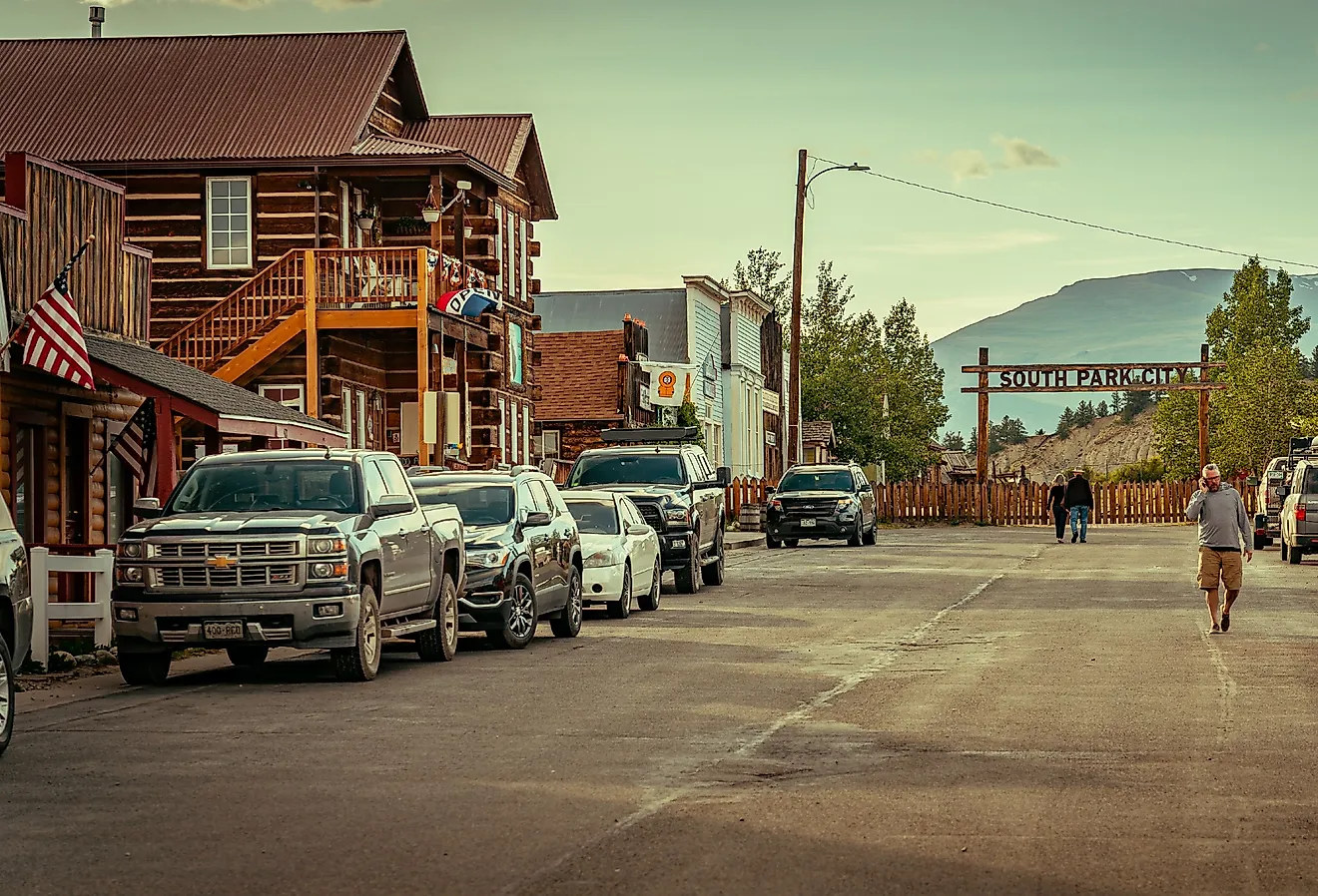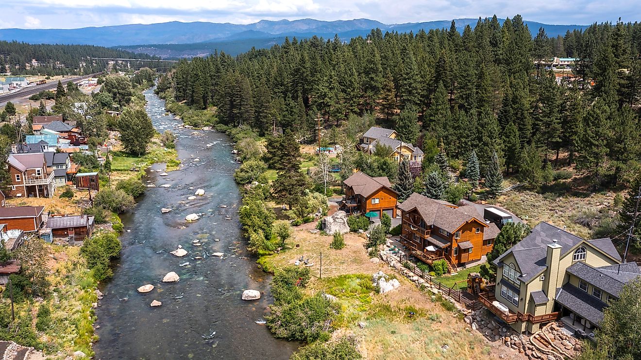
11 Most Scenic Road Trips to Take in The Rockies
The Rocky Mountains rise in the South-Central United States and span through Western Canada and, and by some evaluations, onwards into North-Eastern Alaska. This considerable spread includes long stretches of highways, giving motorists a chance to ogle the majesty of these ancient peaks. Each section and sub-range shows off different personalities of the Rockies, ensuring a renewable source of motivation to visit one of the icons of the North American continent again and again. So queue up some John Denver, or other mountain-themed playlists, pack lots of snacks, and depending on where and when the trip takes place, swap in some sturdy winter tires. These are eleven of the most scenic drives to take in the Rockies.
International Selkirk Loop: Washington, Idaho, & British Columbia

The International Selkirk Loop is one of only 32 All-American Roads, and the only National Scenic Byway to pass into another country. Motorists can hop on this 280-mile (450-kilometer) circuitous route anywhere they wish, proceeding to pass through the Northeastern corner of Washington, the roof of Idaho, and the Southeastern region of the Canadian province of British Columbia before finishing right back where they began. The Selkirk Mountains (a subrange of the Rockies) make up the centerpiece of this drive, but the heart of the trip is in the small towns visited by the quiet byways.
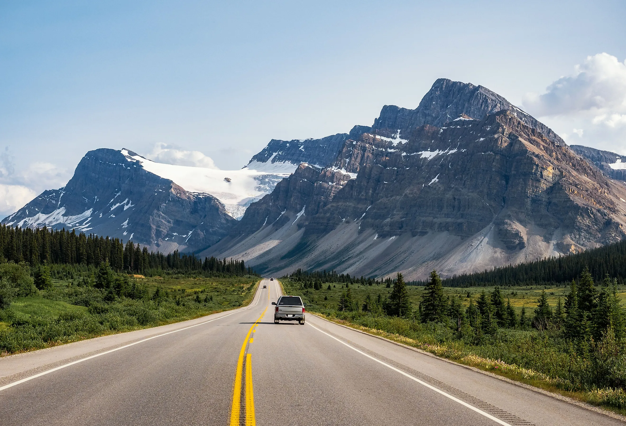
Icefield Parkway (Hwy 93 N): Alberta, Canada

Canada's two most popular (i.e. about 6.5 million collective annual visitors) and most epic national parks are Banff and Jasper – both built around the Rocky Mountains of Alberta and both graced by the Icefield Parkway. This 144-mile (or 232-kilometer, in Canadian speak), connects the ski-resort town of Lake Louise (also celebrated for its emerald glacial lakes), with the quaint mountain town of Jasper, to the Northwest. Not only do snowy peaks dominate the scene, but as the name suggests, massive (albeit gradually shrinking) icefields also capture one's attention with ease. During the summer months, visitors can travel onto the Columbia Icefield via "snowcroaches."
Highway 93 South: Alberta & British Columbia, Canada

A lovely alternative to the Icefield Parkway is taking Highway 93 (i.e. Banff-Windermere Highway) South of Banff National Park. Between the town of Banff and Lake Louise, exit at the Castle Junction turnoff and delve into the beauty of British Columbia's Kootenay National Park during the 65-mile (105-kilometer) casual, occasionally winding drive to Radium Hot Springs. Enjoy a soak and then expand the journey to Invermere, a lakeside summer tourist town, or continue South on 93 (which turns into the Kootenay Highway) to Fairmont Hot Springs, or take an adventurous detour towards Whiteswan Lake to enjoy the semi-secret natural springs at Lussier Creek (shh!).
Going-to-the-Sun Road: Montana

In 2022, Montana's Glacier National Park cracked the Top-10 list of most-visited NPS sites in the country. The grandeur of the Rocky Mountains is certainly one of the reasons for this, but the scenery and accessibility of the Going-to-the-Sun Road helped clinch the deal. This 50-mile (80-kilometer) highway cuts through the heart of the park, taking tourists by a variety of trailheads, arresting viewpoints, and impressive architectural strategies that make driving straight through this behemoth glacial valley possible. The high point of the trip has to be the vistas, boardwalk, and wildflowers of Logan Pass: the literal high point of the road.
Trail Ridge Road: Colorado

Any conversation about the Rocky Mountains has to include Colorado's eponymous national park, the fourth-most frequented in the U.S. (behind only Great Smoky Mountains, Grand Canyon, and Zion). One of the best ways to get a lay of the land is by driving the 48-mile (77-kilometer) switch-backing Highway 34 known as Trail Ridge Road. This spellbinding journey eclipses the treeline for almost a quarter of its mileage, reaching a maximum elevation of 12,183 feet. Hop on at Grand Lake (Western terminus) or Estes Park (Eastern terminus) and retrace your steps (or rather, tread marks), or set up camp for the night in either mountain town.
Dinosaur Diamond Prehistoric Highway: Utah & Colorado

As the name suggests, this lengthy road trip focuses on the stomping grounds and fossil remains of the beasts that are as old as the mountains themselves. Dinosaur Diamond Prehistoric Highway is a National Scenic Byway of tremendous scale, both in terms of distance and preserved time. The 512-mile (824-kilometer) diamond-shaped route traverses parts of Eastern Utah and Western Colorado, with community anchor points of Moab (South), Price (West), Vernal (North) – all of which are in Utah – and Grand Junction, Colorado (East). This multi-day, perhaps even week-long drive, gives an extended overview of the colorful Southern Rockies and corresponding canyons, plus tons of Dinosaur-themed pitstops/archeological sites. Extended side trips should certainly be allotted for Arches and Canyonlands National Parks, as well as Dinosaur and Colorado National Monuments.
Mount Blue Sky Scenic Byway: Colorado

One of the standout experiences in the Colorado Rockies is getting to the top of one of its 54 "14ers" (i.e. mountains above 14,000 feet). This often involves an arduous hike, but in the case of Mount Blue Sky (formerly Mount Evans), there is a road (almost) to the top, just a short grunt is all that's required to reach the true summit. The Mount Blue Sky Scenic Byway recently underwent a name change, but the route retains all of its former glory. This 28-mile (45-kilometer) stretch constitutes the highest paved road in North America. It takes passengers from Idaho Springs (which is only about 35 miles West of downtown Denver) up 7,000 vertical feet, to rarified air and panoramic views. Wave to the mountain goats en route!
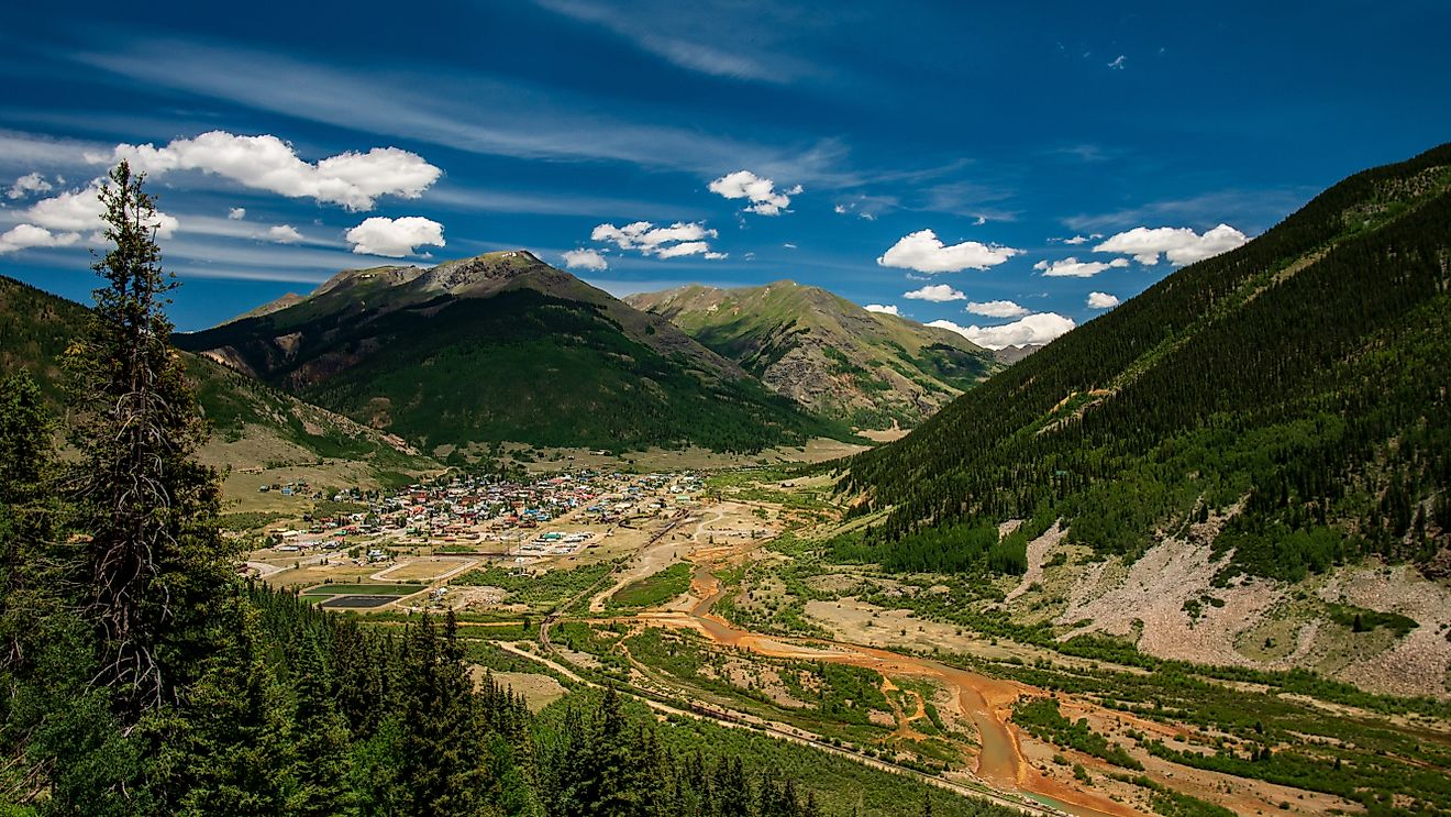
San Juan Skyway: Colorado

One of the most comprehensive Rocky Mountain drives is the 236-mile (380-kilometer) San Juan Skyway, named after the San Juan Mountains subrange. This circuitous All-American Road covers a stunning portion of Southeastern Colorado, passing through the once-great mining towns (now tourist delights) of Durango, Silverton, Telluride, and Ouray, to name a few. Motorists will also have the chance to pull over in Mesa Verde National Park, to witness the ancient cliff dwellings of the Ancestral Pueblo (also known as the Anasazi); now a UNESCO World Heritage Site. If you don't have time for the full 7-hour drive (not including picture breaks, and hikes), at least try the 25-mile section from Silverton to Ouray that's nicknamed the "Million Dollar Highway" (it is worth every penny).
Bitterroot Valley Scenic Drive: Montana

The 95-mile (153-kilometer) Bitterroot Valley (from Missoula to Lost Trail Pass on the Idaho border) can be explored in many satisfying fashions. Highway 93 (as so many of the great Rocky Mountain highways seem to be named) passes through the eight small towns that sprinkle the banks of the Bitterroot River. This abundant source of fly-fishing flows between the Bitterroot Mountains (to the East) and the Sapphire Mountains (to the West). Another popular pastime throughout the valley is rock climbing: traditional, bouldering, and when winter arrives, ice climbing! And if there's room in the trunk, consider bringing your bike to test out some of the trails, or cruise the 50-mile paved Bitterroot Trail. While a straight drive-through will deliver top-tier views, the essence of the Bitterroot Valley comes from its energizing pit stops.
Beartooth Highway: Montana & Wyoming

One area of the Rockies that cannot go without mention is, of course, Wyoming. The crown jewel of the Cowboy State is also the oldest, and one of the most popular national parks in the country – namely, Yellowstone. If heading where herds of bison roam and the great geysers blow, then why not take the scenic route there? The Beartooth Highway is a particularly eye-popping (and at times, white-knuckling) section of Route 212. The 69-mile (111-kilometer) highway from Red Lodge, Montana, to the Northeastern entrance of the park, has also been honored with the All-American Road designation. This stretch features steep grades that eventually top out just shy of 11,000 feet (Beartooth Pass), tight turns, and narrow lanes, but also big blue skies and craggy mountains that are as stimulating as the road.
Teton Scenic Byway: Idaho

One cannot claim to have seen the full extent of the Rocky Mountains without checking off the spires of the Grand Tetons. So when all is said and done with the Yellowstone leg of the journey, skip on down to the gentler roads of Eastern Idaho. The Teton Scenic Byway takes travelers from the Snake River, at Swan Valley, up to Ashton, passing through Victor, Driggs, and Tetonia along the way. This 68-mile (109-kilometer) network combines the pleasantness of laid-back prairie towns with the peripheral pop of Wyoming's snow-capped skyline.
The Rocky Mountains can feel a bit overwhelming. The site of these granite monsters is truly humbling, as is viewing the full boundary on a continental map. It can be difficult to know how to even begin exploring such an extensive range. But thankfully, there are well-established roads that can help us to quickly get an overview of key areas. Travelers cannot go wrong with any routes through the Rockies, but for a lasting first impression, and equally satisfying return trips, check out some of these eleven scenic drives.