11 Great Road Trips to Take in the Pacific Northwest
Washington and Oregon roads cross several distinct Pacific Northwest landscapes within surprisingly short distances. State Route 20 climbs through the North Cascades before dropping toward Puget Sound. Highway 101 stays close to beaches and headlands for hundreds of miles, and Oregon routes climb through lava fields around Mount Hood and the Three Sisters. These 11 routes also pass through towns such as Leavenworth, Friday Harbor, Hood River, Sisters, and Bend, each with museums, waterfronts, restaurants, and historic districts for the hours after the day's driving.
Cascade Loop Scenic Byway, Washington

Start in Everett and follow US 2 toward Leavenworth, where Front Street, the Wenatchee River waterfront, and the Leavenworth Nutcracker Museum make up the first stop. Icicle Village Resort sits close to downtown and has easy access to Icicle Road for the next morning. East of the Cascades, the route reaches Wenatchee and Lake Chelan, then turns north into the Methow Valley. Winthrop has wooden boardwalks and the Shafer Historical Museum, and nearby Pearrygin Lake State Park is a summer swimming stop.
The highest mountain scenery comes on State Route 20. Washington Pass Overlook has a short paved path above Liberty Bell Mountain, and Diablo Lake Overlook looks across turquoise water colored by fine glacial sediment. Farther west, the highway crosses the Skagit Valley and reaches Whidbey Island. Deception Pass State Park has bridge viewpoints and trails above Canoe Pass before the loop returns toward Puget Sound.
Pacific Coast Scenic Byway and Olympic Peninsula, Washington

Port Angeles sits directly on Highway 101 and has a walkable waterfront around City Pier before the road continues west to Lake Crescent. Park near Lake Crescent Lodge for the walk to Marymere Falls, then head toward the Hoh Rain Forest. The Hall of Mosses trail runs for less than a mile beneath bigleaf maples, Sitka spruce, and curtains of moss, so a substantial rain forest stop does not require a long hike.
Ruby Beach has sea stacks, driftwood, and a broad Pacific shoreline. Kalaloch has additional beach access farther south, followed by the forests around Lake Quinault. Lake Quinault Lodge is the overnight stop beside the water. The 1926 lodge stands near several short Quinault Rain Forest trails, including paths past waterfalls and giant conifers. Guests can walk the lakefront before returning to Highway 101 and continuing around the southern Olympic Peninsula.
San Juan Islands Scenic Byway, Washington

The car boards a ferry at Anacortes for the crossing to Friday Harbor. Once ashore, the Whale Museum, marina, and restaurants around Spring Street are close enough to cover on foot. Friday Harbor House stands above the waterfront, so guests can leave the car parked after checking in.
Island roads run south to American Camp and Cattle Point Lighthouse, then west to Lime Kiln Point State Park. Its shoreline trails and lighthouse face Haro Strait, where whales can sometimes be seen from land. Roche Harbor has the historic Hotel de Haro and a busy marina at the north end of San Juan Island.
An inter-island ferry connects San Juan with Orcas Island. Moran State Park contains several lakes and miles of forest trails, along with the paved road up Mount Constitution. A stone observation tower at the summit looks across the San Juan archipelago and toward the mainland mountains on clear days.
Chinook Scenic Byway, Washington

Enumclaw marks the western end of this 85-mile drive. Before heading into the mountains, the Enumclaw Plateau Historical Society Museum has exhibits on the area's logging, farming, and settlement history. State Route 410 then follows the White River into Mount Baker-Snoqualmie National Forest. Federation Forest State Park has short trails beneath Douglas fir and western red cedar. A turnoff farther east reaches Crystal Mountain, where the seasonal gondola climbs above the ski area. Crystal Mountain Hotels sits at the resort base for an overnight stay, close to the lifts and the highway.
Higher on SR 410, Tipsoo Lake sits just below 5,430-foot Chinook Pass with Mount Rainier visible beyond the water in clear weather. The Naches Peak Loop begins nearby and crosses alpine meadows during its roughly 3.5-mile circuit. The highway descends toward the drier Naches Valley on the eastern side of the Cascades. Snow closes Chinook Pass during winter.
Palouse Scenic Byway, Washington

Pullman has several stops beyond Washington State University's campus. The Jordan Schnitzer Museum of Art has rotating exhibitions, and downtown Main Street has restaurants within a short walk of the university district. Hotel McCoy stands close to campus, with work by regional artists throughout its rooms and common areas. Outside town, US 195 and smaller state highways cross wheat fields that appear vivid green in spring and turn gold before harvest.
North of Pullman, the road up Steptoe Butte climbs above the farmland for a 360-degree view across the Palouse hills. Colfax has brick storefronts and the Codger Pole, a 65-foot carved wooden monument connected to a local high-school football rivalry. Farther south, Palouse Falls State Park contains a 198-foot waterfall where the Palouse River drops into a basalt canyon. The main viewpoint sits a short walk from the parking area.
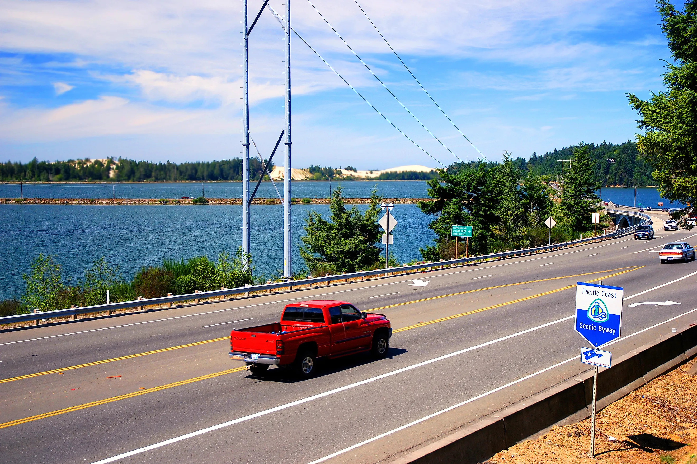
Pacific Coast Scenic Byway, Oregon

Astoria begins the Oregon Coast drive beside the Columbia River. Climb the Astoria Column for views across Youngs Bay and the river mouth, then follow Highway 101 to Cannon Beach. Haystack Rock rises 235 feet above the sand, and low tide exposes pools containing anemones, mussels, and other marine life. The beachfront Stephanie Inn stands south of downtown with Haystack Rock within walking distance.
At Newport, Yaquina Head Outstanding Natural Area has a 93-foot lighthouse, basalt shoreline, and tide pools. Florence borders the Oregon Dunes, where large sand fields lie between forest and ocean.
Bandon's Face Rock State Scenic Viewpoint looks across a shoreline crowded with offshore rocks. Near Brookings, Samuel H. Boardman State Scenic Corridor has trail access to Natural Bridges, Arch Rock, and small coves beneath steep headlands. Brookings also has Azalea Park and the harbor at the mouth of the Chetco River before Highway 101 reaches California.
Historic Columbia River Highway Scenic Byway, Oregon

Crown Point starts the drive 733 feet above the Columbia River. Vista House occupies the edge of the promontory, with windows and terraces facing the Gorge. The historic highway then descends past a tight concentration of waterfalls. Latourell Falls drops over columnar basalt, Bridal Veil has a short forest trail, and Wahkeena Falls sits just west of Multnomah Falls. Multnomah drops 620 feet in two main tiers, with Benson Bridge crossing in front of the lower section.
Hood River has enough for a full evening after the waterfall corridor. The waterfront path passes parks used by windsurfers and kiteboarders, and restaurants occupy several blocks around Oak Street downtown. The Columbia Gorge Hotel & Spa stands on a bluff west of the center, with Wah Gwin Gwin Falls dropping from the hotel grounds. Continue east through Mosier to Rowena Crest for a high viewpoint over the Columbia and a looping section of the old highway.
Mt. Hood Scenic Byway, Oregon

Hood River sits at the northern end of this circuit around Mount Hood. South of downtown, the Hood River Valley contains pear, apple, and cherry orchards, with seasonal farm stands along the Fruit Loop. Oregon Route 35 enters Mount Hood National Forest beyond the agricultural valley and climbs toward the mountain.
Near Government Camp, Timberline Road runs six miles uphill to Timberline Lodge. The 1937 building stands at roughly 6,000 feet and still contains original stonework, carved wood, textiles, furniture, and other Works Progress Administration-era details. Timberline Lodge is also the accommodation for the night, with guest rooms inside the National Historic Landmark itself.
Government Camp lies back down the mountain. The Mt. Hood Cultural Center and Museum has exhibits on skiing, mountaineering, forest history, and early travel around the mountain. From there, US 26 runs west through national forest toward Sandy, where the Sandy Historical Society Museum occupies a building beside Pioneer Boulevard.
McKenzie Pass-Santiam Pass Scenic Byway, Oregon

Sisters starts this Cascade loop beneath views of the Three Sisters. Its center has Western-style storefronts and the Sisters Depot building, while nearby trails enter the surrounding ponderosa pine forest. FivePine Lodge & Cabins occupies a wooded property on the edge of town close to the Peterson Ridge trail network.
West of Sisters, the route passes Suttle Lake before reaching Clear Lake, where submerged tree trunks are visible beneath exceptionally clear water. Along the McKenzie River, Sahalie Falls drops over a lava dam. A riverside trail continues downstream to Koosah Falls.
OR 242 climbs back toward Sisters across older lava flows. The Proxy Falls trail enters thick forest before reaching the 226-foot waterfall. At McKenzie Pass, the forest ends at a broad expanse of dark volcanic rock. Dee Wright Observatory was constructed from local basalt, with window openings in its walls aligned to individual Cascade peaks. Winter snow normally closes OR 242 for part of the year.
Rogue-Umpqua Scenic Byway, Oregon

East of Roseburg, the North Umpqua River stays close to the highway for much of the drive. Near Glide, Colliding Rivers marks the unusual point where Little River meets the North Umpqua almost head-on. Deeper into the forest, a short trail reaches Toketee Falls, where water drops through a narrow wall of columnar basalt. Watson Falls lies farther east and plunges 272 feet over a moss-covered cliff.
Steamboat Inn has cabins and cottages beside the North Umpqua, close to one of the river's long-established fly-fishing areas. Diamond Lake lies farther into the Cascades with Mount Thielsen rising beyond the shore.
South of Diamond Lake, the route follows the upper Rogue. At Rogue Gorge, the river squeezes through a narrow lava channel. Natural Bridge has another volcanic feature nearby, where part of the Rogue enters an ancient lava tube and reappears downstream. Crater Lake National Park can be reached by a separate detour from this section of the Cascades.
Cascade Lakes Scenic Byway, Oregon

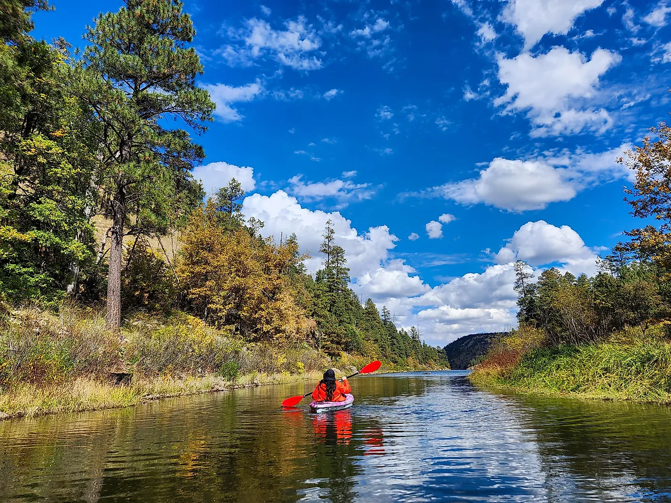
From Bend, Cascade Lakes Highway climbs through ponderosa pine toward Mount Bachelor. Sparks Lake is one of the first major stops, with South Sister and Broken Top rising behind shallow water and meadow. Devils Lake appears beside the road farther south with unusually clear turquoise water. Elk Lake has a marina, swimming areas, and views back toward Mount Bachelor, and Hosmer Lake has narrow channels regularly used by kayakers and paddleboarders.
Tetherow stands on Bend's western edge beside Deschutes National Forest, close to the highway leading toward Mount Bachelor. The Deschutes River Trail and Old Mill District are also a short drive away, so an overnight stay can include a walk beside the river or dinner near the former mill buildings. Beyond Hosmer Lake, the byway passes additional trailheads and high-country lakes before reaching the Crescent area. Snow closes the road beyond Mount Bachelor seasonally, limiting the full drive to the warmer part of the year.
Planning The Drive
The eleven routes divide cleanly by season and setting. The coastal drives on Highway 101 and the island crossing from Anacortes stay open through the year, while the high Cascade passes on State Route 20, Chinook Pass, OR 242, and the Cascade Lakes Highway close under snow and open only in the warmer months. Port Angeles, Astoria, Pullman, and Roseburg each work as an overnight base, so a single byway becomes a long weekend without a rushed return. Pairing a mountain route with a coastal one turns two of these drives into a week that crosses rain forest, high desert, lava field, and shoreline inside the same two states.