10 Great Road Trips to Take in New York
Some of New York’s best drives stay close to the Susquehanna through towns like Owego and Binghamton before the terrain tightens farther north at Wilmington Notch. The state covers that much ground in not much time, and the roads that stay with you are usually the ones that were not built for speed. Most drivers crossing New York stay on I-87 or I-90 and leave the rest for later. These 10 road trips follow the byways that make driving in New York distinct, from Hudson River towns to Adirondack passes and the shore roads of the Finger Lakes.
Newburgh to Hudson via Route 9W and 9

This drive runs along both sides of the Hudson River's east shore, threading through the old river towns that were once of huge economic importance to the region. Taking about 2 to 3 hours without stopping, this road trip is perfect for those who want to see a different side of New York.
Start on Route 9W north of Newburgh, where the road runs above the river. Follow it until you hit Marlboro wine country, where the road climbs again before easing into Kingston. Cross into Kingston's Rondout neighborhood near the creek and pick up Route 9 north. From there, the road passes through Red Hook and into Rhinebeck before finishing in Hudson, where Warren Street climbs steeply from the waterfront.
Kingston is worth slowing down for because the Stockade District is one of the few intact 17th-century street layouts in the Northeast. In Hudson, the antiques district on Warren Street makes for a great afternoon walk, and the train station puts you directly on the waterfront.
Woodstock to Binghamton via Route 28

Route 28 is the main east-west artery across the Catskills. The road climbs out of the Hudson Valley, follows Esopus Creek through its narrow mountain corridor, then crosses the divide at Highmount before descending into the Delaware River region. Before you set off, be aware that gas stations thin out between Phoenicia and Margaretville. Fill up before you leave the Esopus Creek area if you're running low.
From Woodstock, take Route 212 west to Mount Tremper to merge onto Route 28. Esopus Creek runs alongside the road through Phoenicia and into Shandaken. After Highmount, the terrain opens into the upper Delaware country around Arkville. The road eases through Margaretville and Delhi before dropping out of the mountains into the Susquehanna flats near Binghamton.
Phoenicia has a good general store and access to several Catskill hiking trails. Arkville is the western Catskill outpost of the Delaware & Ulster Railroad, which is worth a stop if you're into the history of the railroad in the region. Delhi marks the transition point where the drive shifts from a mountain to a valley, and it offers plenty of viewpoints for snapping the perfect picture.
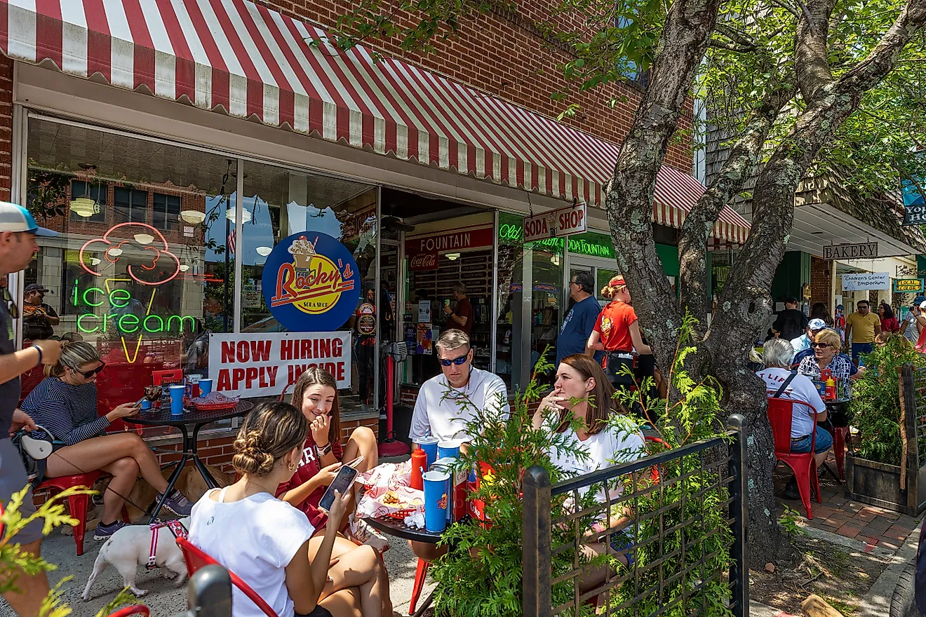
Riverhead to Orient Point via Route 25

The North Fork of Long Island is a peninsula that narrows to Orient Point, with Route 25 running the entire length. It's a landscape full of vineyards, potato farms, and farm stands flanked by the Long Island Sound to the north and the Peconic Bay to the south.
Route 25 through Riverhead is frankly unremarkable, but past Aquebogue, the real journey begins. The road runs flat through Mattituck and Cutchogue, where vineyard density is at its highest, making it worth a short stop for a guided tour or a light lunch. Southold is the largest town before Greenport, with a lovely waterfront and ferry access to Shelter Island. Finally, Orient village sits a few miles west of Orient Beach State Park, which is accessed off Route 25 before the road ends at the ferry dock at Orient Point.
Expect July and August to be congested. The drive is best in September and October when traffic is lighter, and the farm stands are fully stocked. The ferries run year-round. Greenport has a compact Main Street, with the Shelter Island ferry 10 minutes south on Route 114.
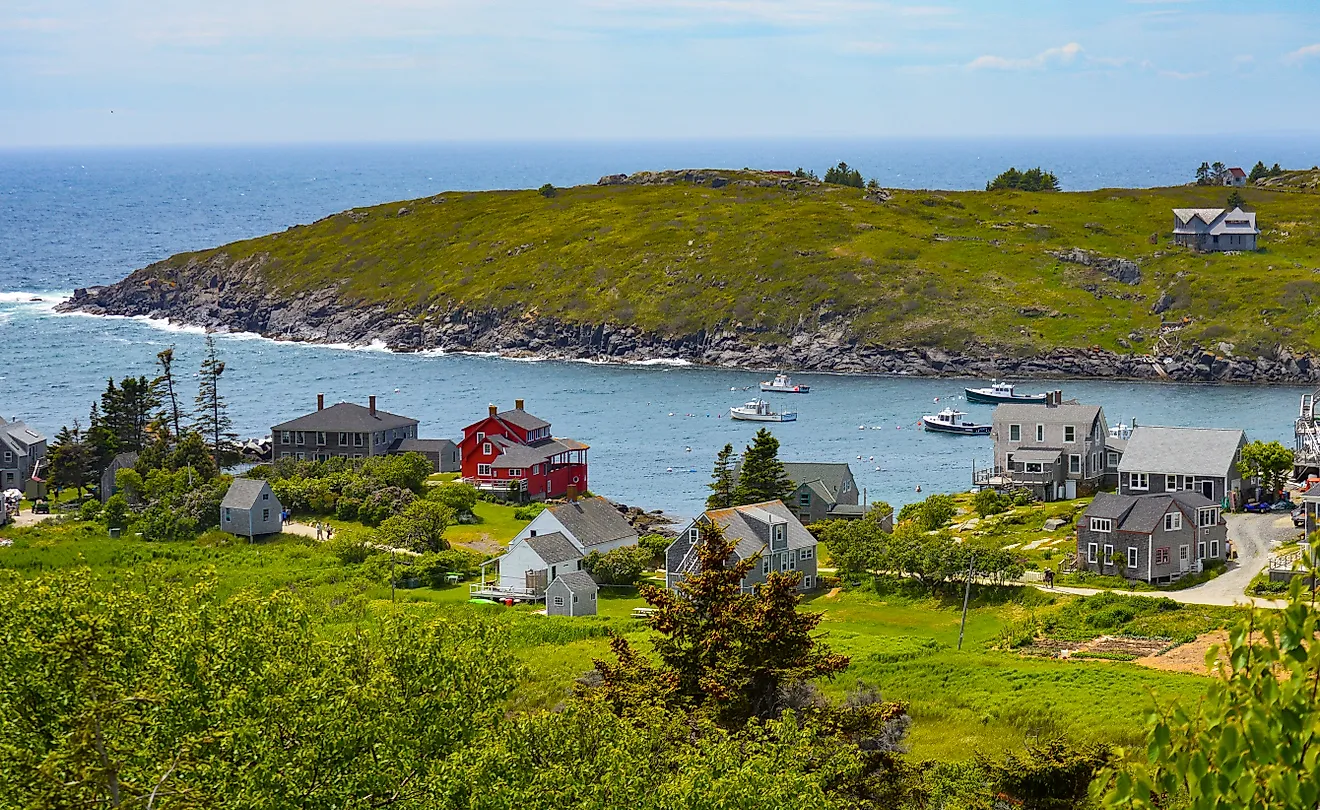
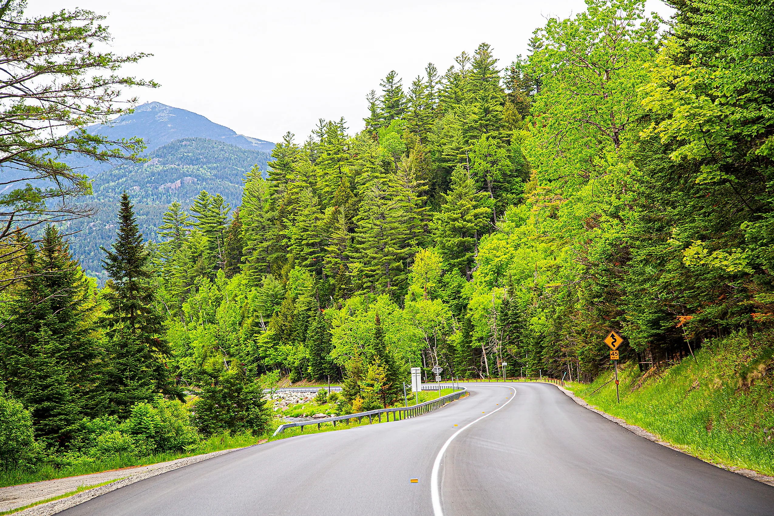
Lake Placid to Keene Valley via Routes 86 and 73

The Lake Placid to Keene Valley loop covers the core of the Adirondacks region using two of its most useful roads. Route 86 follows the Ausable River through the Wilmington Notch, while Route 73 cuts through the Cascade Lakes and Chapel Pond Pass to the south. Together, they form a road trip that shows off some of the region's most dramatic terrain.
Leaving Lake Placid east on Route 86, the road immediately enters the Ausable River gorge at Wilmington Notch, flanked by steep rock walls, a narrow channel, and no shoulder. After Wilmington, turn south on Route 9N through Jay and the upper Ausable flats, then south on Route 73 through Keene and into Keene Valley. Route 73 west back to Lake Placid crosses Cascade Pass between the Cascade Lakes and Johns Brook Valley, with direct views of the High Peaks above treeline.
The pull-off at Upper Cascade Lake on Route 73 is one of the most directly accessible mountain views in the Adirondacks, with a picturesque lake in the foreground and the Cascade and Porter peaks rising behind.
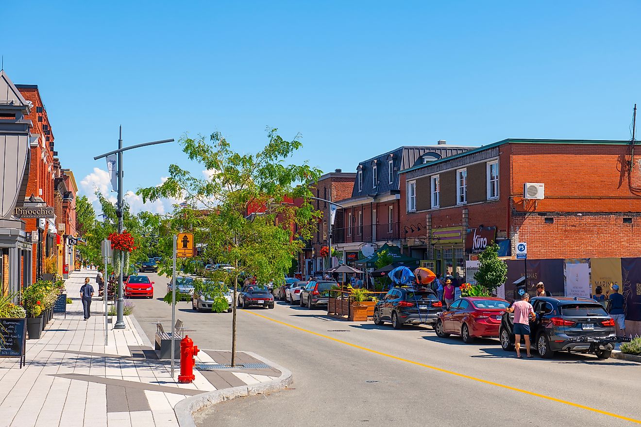
Owego to Jamestown via Route 17 and Route 17C

This is a 4 to 5-hour road trip along New York's Pennsylvania border, from the Susquehanna valley in the east to the Chautauqua hills in the west. Though most people drive straight through on I-86, Route 17C runs through actual towns and along the valley floor, making for a slower but more interesting drive.
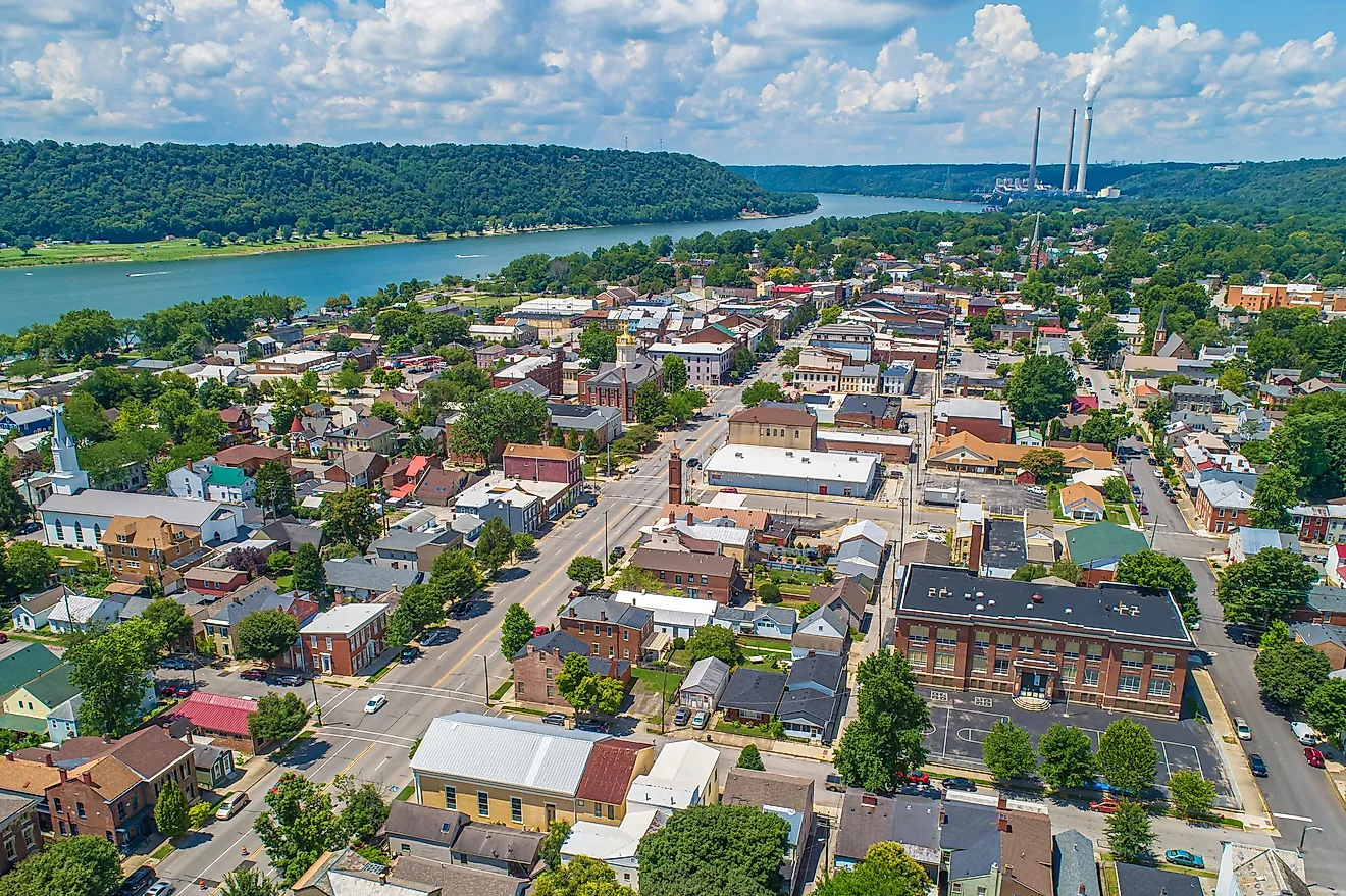
Begin in Owego and follow the Susquehanna River west through Binghamton. Binghamton is worth a short stop to see the downtown carousel, the Roberson Museum, and the confluence of the Susquehanna and Chenango rivers. From Binghamton, follow I-86/NY 17 through Windsor and on toward Hancock. For a scenic detour, take Route 97 south from Hancock to follow the upper Delaware River. Rejoin I-86 westbound and continue through Olean. Past Olean, exit at Salamanca for Allegany State Park before finishing in Jamestown.
Allegany State Park, accessible from the Salamanca exits off I-86, is the largest state park in New York and well worth a stop if you're not on a tight schedule. Jamestown is the western endpoint and is worth exploring for its Lucille Ball Desi Arnaz Museum and the National Comedy Center.
Massena to Sackets Harbor via Route 37 and Route 12E

The Great Lakes Seaway Trail is a scenic byway that follows the St. Lawrence River and eastern Lake Ontario shoreline. This section from Massena to Sackets Harbor covers the Thousand Islands region and the lake shore. Route 37 and 12E are designated highways along the trail and are quite easy to navigate in the warmer months. Travellers should be aware that winter conditions can make this road treacherous, so drive safely if you're out there between December and April.
Start in Massena near the Robert Moses Power Dam, where the St. Lawrence narrows before reaching the Thousand Islands region. Route 37 west through Ogdensburg follows the river closely, with the Canadian shoreline visible across the water. At Alexandria Bay, the islands begin, and the road crosses several small peninsulas with river views.
At Clayton, transition to Route 12E south through Cape Vincent, then continue along the Seaway Trail corridor toward Sackets Harbor. Ogdensburg has a waterfront with direct river views and the Frederic Remington Art Museum. Alexandria Bay is the busiest stop in the Thousand Islands, active in summer and quieter outside the main season.
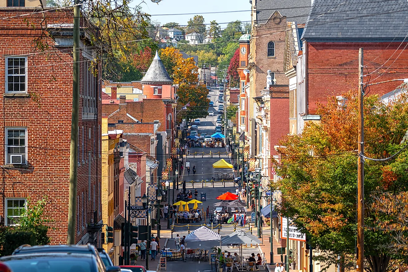
Gardiner to Ellenville via Routes 44/55 and Route 52

From Gardiner on the Catskills valley floor, Routes 44/55 west climb immediately through the Trapps, which is one of the most popular rock climbing areas in the Northeast. The road tops out above Minnewaska State Park Preserve, where you can access the park and its three lakes. Continue west on 44/55 through Kerhonkson and into the Rondout Valley. For the Sam's Point route, take Route 52 south from Ellenville to the Sam's Point Preserve entrance, where the road climbs the ridge's southern nose through its pine barrens.
Minnewaska State Park Preserve has three lakes perched on the ridge top with carriage roads that are excellent for hiking. Sam's Point Preserve covers the southern end of the ridge with access to Ice Cave crevices that invite you to explore.
Few other drives in New York give you such clear geological transitions in such a short distance. The valley below Ellenville is 400 feet lower than the ridge top, and you climb it in about three miles. Keep in mind that Sam's Point Road is narrow and not suitable for large RVs or vehicles with trailers.
Ithaca to Seneca Falls via Routes 89, 20, and 414

This loop covers parts of the western Finger Lakes using Route 89 along Cayuga Lake, Route 20 across the north end, and Routes 14 and 414 along Seneca Lake. From Ithaca, take Route 89 north along the west shore of Cayuga Lake through Taughannock Falls State Park. Continue north to Seneca Falls, then west on Route 20 to Geneva and Route 14 south along the east shore of Seneca Lake to Watkins Glen. From Watkins Glen, Route 414 north reconnects to Route 20 at Seneca Falls for a loop finish.
Seneca Falls has the Women's Rights National Historical Park, which is a well-maintained federal site. Meanwhile, Watkins Glen State Park at the south end of Seneca Lake has a gorge trail that passes through 19 waterfalls over 1.5 miles. Make sure to arrive early to avoid the crowds in the summer months. The Seneca Lake wine trail runs along Route 414 north of Watkins Glen, with numerous wineries offering wine tasting tours worth a stop.
Plattsburgh to Ticonderoga via Routes 9 and 22

The western shore of Lake Champlain between Plattsburgh and Ticonderoga is one of the longest uninterrupted lake shore road trips in the Northeast. Route 9 and Route 22 split and reconnect along this corridor, with the lake visible from broad stretches of both routes.
From Plattsburgh, Route 9 south through Peru drops onto the lake shore. Route 22 runs slightly inland in places, but the route reconnects and separates multiple times. At Port Kent, the Lake Champlain ferry to Burlington is worth considering as a detour from the trip. South of Westport, the road narrows toward Crown Point. The Crown Point Bridge to Vermont and the adjacent ruins of Fort Crown Point mark the geographic point before you reach Ticonderoga.
Lake Champlain is 120 miles long, and the drive brings you through nearly a third of its western shoreline. The lake is wide in the north near Plattsburgh, with Vermont's Green Mountains as a stunning backdrop, and narrower in the south near Ticonderoga, where the Adirondack foothills close in from both sides. Apple orchards along Routes 9 and 22 are active through October. The Lake Champlain ferries run seasonally with reduced winter schedules.
Niagara Scenic Parkway & the Lake Erie Shore

The Niagara Scenic Parkway north of Niagara carries you to the mouth of the Niagara River at Lake Ontario, with Route 18 running along the lake bluffs through a sequence of small fishing towns before Route 5 and the Lake Erie shore bring you into Buffalo from the north.
From Niagara Falls State Park, take the Niagara Scenic Parkway north, which runs between the lower Niagara River gorge and through Devil's Hole State Park and Whirlpool State Park. The gorge views from the numerous pull-offs are at river level and aren't as full of tourists as you might think. At Youngstown, the river meets Lake Ontario at Fort Niagara State Park. From Youngstown, Route 18F and then Route 18 west run through Wilson, Barker, and Olcott along the lake. South of Olcott, the road angles into the lake plain toward Lockport before connecting to Route 5 and the Lake Erie shore into Buffalo.
The Niagara gorge section of the parkway is one of the less-visited parts of Niagara, with several worthwhile pull-offs along the route. Moving from the Niagara River to Lake Ontario to Lake Erie in a single drive allows you to see two Great Lakes in under 80 miles. Confirm current road conditions before driving, particularly the Devil's Hole section. Route 18 narrows considerably through Barker and Olcott and is not recommended for wide vehicles.
A State Built for Scenic Detours
New York State rewards drivers who don't treat the interstates as the default. What makes New York worth driving isn't any single road or destination. It's all about how much you can see and experience in a short distance. Several change character season by season, and most are worth driving more than once.
Within 300 miles, you move from tidal saltwater to alpine mountains to Great Lakes shoreline, with river valleys, glacial lake basins, and plateau country filling the space between. Any one of these drives shows how much terrain New York packs into a relatively short distance.