The National Parks With Abandoned Towns Inside Them
You expect a national park to protect wild country. You do not expect it to protect a dead town. At least 14 of them do exactly that. Ghost towns sit inside their boundaries, left behind by people who once bet everything on these places.
Most were mining gambles. Prospectors chased gold and silver into Death Valley and Rocky Mountain. They chased copper and coal into Voyageurs and New River Gorge. The ore ran thin. The towns emptied within a few short years.
A few places died stranger deaths. A volcano drove families out of the villages now inside Katmai. Disease broke the Dena'ina community at Qizhjeh in Lake Clark. The parks themselves quietly cleared out farm settlements like Fruita and Mormon Row.
What survives depends entirely on where you go. Some parks let you walk through standing cabins and rusting machinery. Others hold nothing but foundations and a name on an old map.
Skidoo, Harrisburg, And Other Ghost Towns - Death Valley National Park

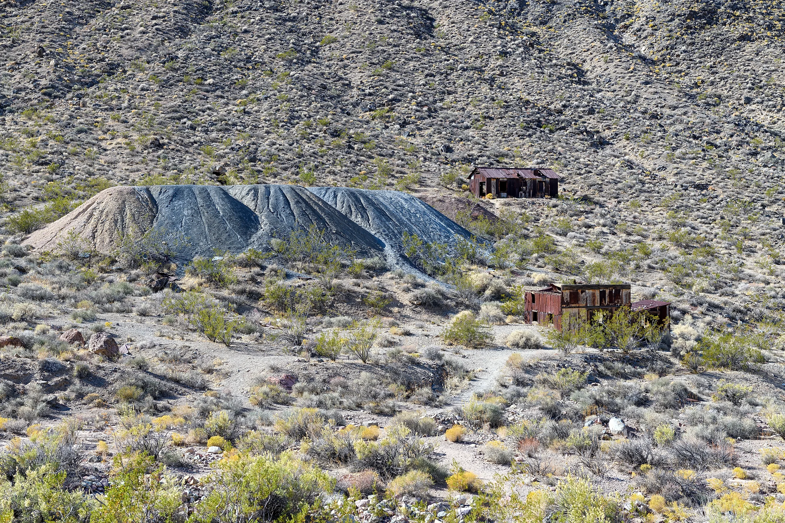
No national park has a stronger collection of classic Western ghost towns than Death Valley. Skidoo arose after prospectors discovered gold in 1906 and eventually supported about 700 residents. Harrisburg was another gold settlement, growing into a tent city of roughly 300 people after a 1905 strike. Neither lasted. Nothing remains of the Skidoo townsite itself, while Harrisburg is represented largely by the home and mine of prospector Pete Aguereberry.
Those are only two of several abandoned settlements within the park. Greenwater reached about 2,000 residents during a copper rush before collapsing by 1909. Leadfield appeared during a heavily promoted lead-mining boom in 1926, leaving building fragments and mill foundations when the venture failed. Panamint City had around 2,000 residents at its 1874 peak before its mining boom ended and a flash flood destroyed much of the town. Chloride City became a town in 1905 and a ghost town the following year. Its old mine workings and stamp-mill remains are still scattered across the desert.
Lulu City - Rocky Mountain National Park

The upper Colorado River valley looked very different during Colorado's mining rushes. Lulu City was established in the 1880s in what is now the northwestern corner of Rocky Mountain National Park. Prospectors expected rich mineral deposits in the Never Summer Mountains, and a small mining community developed along the river. Nearby settlements such as Gaskill were part of the same brief period of mining activity. The deposits never produced the wealth miners expected, and the settlements disappeared almost as quickly as they formed.
Lulu City is now a backcountry historic site rather than an intact ghost town. Visitors can reach it from the Colorado River Trailhead on a roughly 3.7-mile trail to the former townsite. Vegetation covers most evidence of the community, with faint foundations and other traces replacing the buildings that once stood beside the young Colorado River. Its disappearance reflects a wider pattern in the park, where mining gave way to ranching, tourism, water development, and eventually federal protection.
Dana Village And Bennettville - Yosemite National Park

Yosemite's high country experienced its own mining rush in 1880, when reports of gold and silver drew prospectors toward Tioga Pass. Dana Village developed near Tioga Hill, while Bennettville grew around mining operations farther west. Roads, cabins, machinery, and other infrastructure appeared at elevations where deep winter snow made nearly every part of mining difficult. The anticipated mineral wealth never materialized on the scale investors expected, and both communities faded.
The Sierra Nevada has preserved fragments rather than complete towns. Stone walls mark parts of Dana Village, while Bennettville retains mining equipment and several structures associated with its short-lived boom. Nearby Golden Crown Mine cabins provide another surviving reminder of Yosemite's mining period. Even Tioga Road has a connection to the episode because an early wagon road was built to reach the mining district. Yosemite is therefore better known for waterfalls and granite cliffs, but one of its major modern travel corridors passes through the remains of an unsuccessful mining frontier.
Altyn - Glacier National Park

Altyn was established on the eastern side of what is now Glacier National Park during Montana's late-19th-century mining boom. Copper and gold prospectors entered the region after the federal government acquired land east of the Continental Divide from the Blackfeet in 1895. Altyn was active from 1898 to 1902 and reached an estimated population of 600 to 800. It developed the services expected of a mining town, including a post office, hotel, store, newspaper, cabins, tents, and numerous saloons.
The surrounding mountains held none of the valuable deposits miners expected. Prospecting declined within a few years, leaving Altyn without the industry that justified its isolated location. Much of the former townsite now lies beneath the western end of Sherburne Reservoir near Many Glacier. The submerged site makes Altyn unusual among national park ghost towns. Rather than walking between abandoned streets and buildings, visitors see a landscape that has been substantially altered since the mining settlement disappeared.
Glenn Springs - Big Bend National Park

Water created the conditions for Glenn Springs in an otherwise arid section of West Texas. By 1916, nearly 80 people lived in the village, where a candelilla wax factory employed dozens of workers. The settlement included a general store and post office and served ranches in the surrounding desert. Its location beside a dependable spring made industrial activity possible because producing candelilla wax required both large quantities of the desert plant and access to water.
A violent raid in May 1916 killed four people, injured others, damaged the wax factory, and burned part of the settlement. Glenn Springs was rebuilt and a U.S. cavalry camp remained nearby until 1920, but falling wax prices created another problem. The owners sold the operation in 1919, and almost everyone associated with the village left. Today little remains to suggest that dozens of people once lived and worked there. The spring survives, while ruins and archaeological evidence document a desert community that existed for only a small part of Big Bend's human history.
Soda City - Great Sand Dunes National Park And Preserve

West of the enormous dunefield is one of the least-known abandoned communities in any national park. Soda City developed in the late 19th century beside deposits of trona left by seasonally fluctuating wetlands. Residents collected the alkaline material, packaged it, and carried it by wagon to Mosca. Trains then transported it to cities where it could be sold as washing soda.
Soda City was tiny, and even the National Park Service notes that relatively little is known about it. It is unclear exactly why production stopped or why residents left so abruptly. The site contains only scattered evidence of occupation, including planks from collapsed buildings, bricks, broken shovels, and old workings around the alkali deposits. Some tools appear to have simply been left in place. That makes Soda City very different from the larger Western mining towns on this list. There are no recognizable streets or rows of buildings, only archaeological fragments in the wetlands west of the dunes.
Elkmont And The Logging Towns - Great Smoky Mountains National Park

The Great Smoky Mountains contain the remains of several communities rather than a single ghost town. Industrial logging transformed parts of the mountains during the early 20th century, producing boomtowns at Elkmont, Smokemont, Proctor, and Tremont. Big Creek was also the site of a logging town. Rail lines moved timber through valleys that had previously been dominated by farms and small rural settlements.
Elkmont became especially complex. It began as a logging community and later developed resort settlements around the Appalachian Club and Wonderland Hotel. After Great Smoky Mountains National Park was established, leases eventually expired and many buildings were removed. The National Park Service now preserves 18 cabins associated with the Appalachian Club, while old stone walls and chimneys mark the sites of structures that disappeared. Elsewhere, the evidence can be much harder to see. At Big Creek, forest now covers the former logging townsite. Across the park, more than 1,200 landowners ultimately left properties incorporated into the new national park, leaving farms, schools, churches, mills, and community sites behind.
Ransom And Island Mine - Isle Royale National Park

Copper mining briefly created permanent-looking settlements on remote Isle Royale in Lake Superior. Ransom developed in 1847 as the center of the Ohio and Isle Royale Mining Company's operations. About 40 to 50 men cleared land, built houses, planted a garden, and constructed a copper smelter. The ore proved too poor to support the investment, and the company left the island in 1849. Fire destroyed its mining buildings in 1866, although the Ransom site later served several other purposes. Daisy Farm Campground now occupies the area.
A second mining period produced the Island Mine community during the 1870s. The settlement became significant enough to serve as the county seat of the short-lived Isle Royale County. Mining again failed to produce a lasting town. Buildings were later stripped for reusable lumber, and a 1936 fire destroyed additional remains. Today the old townsite is represented primarily by mining features and ruins. The National Park Service identifies a well, the stone remains of a powder house, and an old tramway grade among the surviving features.
Rainy Lake City - Voyageurs National Park

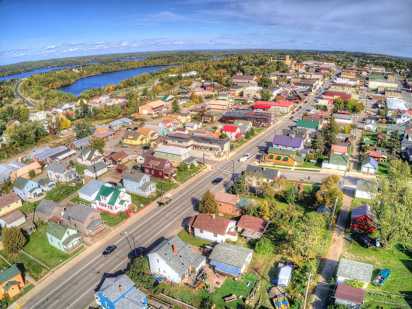
Rainy Lake City provides one of the clearest boom-to-ghost-town stories in the National Park System. Gold discovered near Rainy Lake in 1893 triggered a rush the following year. The settlement was incorporated in March 1894 and quickly developed into a community of several hundred people. For a short period, residents had access to a school, bank, general store, hotels, restaurants, a newspaper, a butcher shop, a hardware store, and several saloons.
The mines surrounding Rainy Lake could not produce enough gold to sustain that growth. The boom had largely ended by 1898, closing the school and newspaper office as prospectors and businesses left. By 1901, the National Park Service describes Rainy Lake City as a ghost town. The speed of the collapse is part of what makes the site significant. In less than a decade, an isolated patch of northern Minnesota went from mineral discovery to incorporated town to abandonment.
Nuttallburg And Hamlet - New River Gorge National Park And Preserve

Coal and timber created dozens of industrial communities along West Virginia's New River. Nuttallburg was one of nearly 50 towns established in response to demand for the gorge's coal. Entrepreneur John Nuttall began developing the site in 1870, and the steep valley eventually contained mines, houses, schools, churches, a company store, coke ovens, railroad infrastructure, and industrial equipment. Henry Ford briefly owned the operation during the 1920s and installed a major conveyor system to move coal from the mine to the railroad.
Coal production ended in 1958. Empty buildings, foundations, coke ovens, the conveyor, and the large tipple now make Nuttallburg one of the most extensive abandoned coal-town sites in the country. The park contains other deserted industrial communities as well. Logging operations at Glade Creek supported company towns at Glade and Hamlet until the accessible timber was exhausted. The mills closed, the narrow-gauge railroad was abandoned, and both settlements disappeared. Building remains at Hamlet can still be reached on foot from the Glade Creek area.
Qizhjeh - Lake Clark National Park And Preserve

Qizhjeh, often written historically as Kijik, requires different language from the mining ghost towns elsewhere on this list. It was a long-established Dena'ina village rather than a speculative boomtown. People lived in the Qizhjeh area for generations, and the village became one of Alaska's largest Dena'ina settlements. Abundant salmon, game, firewood, and established travel routes allowed the community to remain occupied year-round for centuries. A Russian Orthodox church was built there around the late 19th century.
Diseases introduced through increasing outside contact changed the community dramatically. A flu-measles epidemic struck residents in 1902, and survivors increasingly relocated to Old Nondalton about 25 miles away. By 1909, Qizhjeh had been completely abandoned as a permanent village. The wider Kijik National Historic Landmark and Archaeological District now contains more than a dozen archaeological sites. The area remains culturally important to Dena'ina people, so describing it simply as a "ghost town" would erase much of its history and continuing significance.
Savonoski, Kaguyak, Kukak, And Katmai - Katmai National Park And Preserve

Four year-round villages stood within what is now Katmai National Park and Preserve before one of the largest volcanic eruptions of the 20th century. Savonoski, Kaguyak, also known as Douglas, Kukak, and Katmai were established communities connected to generations of Alaska Native settlement and subsistence. That changed in June 1912 when Novarupta erupted near Mount Katmai.
Enormous quantities of ash covered large sections of the Alaska Peninsula. Residents of all four villages left and resettled elsewhere rather than returning permanently to settlements buried or damaged by volcanic debris. Their descendants, many of Alutiiq ancestry, continue to live in communities across southwest Alaska and maintain connections to the Katmai region. These village sites therefore differ fundamentally from a mining town abandoned after profits disappeared. An environmental disaster displaced established communities whose histories extended far beyond the few buildings or archaeological remains visible today.
Fruita - Capitol Reef National Park

Fruita was never large enough to resemble a conventional town. Settled in 1880 along the Fremont River, the agricultural community supported no more than about 10 families at any one time. Its residents used irrigation to cultivate orchards containing apples, peaches, pears, apricots, cherries, and other fruit. Houses, barns, a schoolhouse, fields, and thousands of fruit trees occupied a narrow green corridor surrounded by the cliffs and dry country of south-central Utah.
The federal government gradually acquired private property as the area moved toward national park status. Dewey and Nell Gifford were Fruita's final residents, selling their property to the National Park Service and leaving in 1969. Unlike many deserted settlements, Fruita did not simply deteriorate after its population disappeared. The National Park Service maintains the historic landscape, including approximately 1,900 fruit trees, and visitors can still enter orchards when they are open and harvest ripe fruit under park rules. Fruita is therefore a fully depopulated former community rather than a ruined ghost town.
Mormon Row - Grand Teton National Park

Today's Mormon Row began as Grovont, an agricultural community established by Mormon settlers arriving from Idaho during the 1890s. Rather than building isolated homesteads across Jackson Hole, families clustered their farms east of Blacktail Butte so they could share labor and resources. Twenty-seven homesteads were established in the area. Access to the Gros Ventre River made irrigation possible, and settlers dug ditches to move water toward fields and livestock.
The settlement declined as economic conditions changed and conservation efforts transformed land ownership in Jackson Hole. Many properties were acquired by the Snake River Land Company, an organization connected with John D. Rockefeller Jr.'s effort to assemble land for eventual federal protection. Only a fraction of the community's buildings survive. The Moulton barns, Chambers homestead, houses, outbuildings, irrigation features, and other structures now form the Mormon Row Historic District. Unlike Skidoo or Rainy Lake City, Mormon Row did not vanish in a sudden mining bust. Its population disappeared gradually while selected pieces of the agricultural landscape were preserved.
Different Endings, One Landscape
Taken together, these 14 parks preserve several very different forms of abandonment. Death Valley's settlements could disappear as soon as a mine failed, while Rainy Lake City needed only seven years to pass through incorporation and abandonment. Industrial change emptied Nuttallburg and the logging towns of the Smokies. Disease and volcanic disaster had far more serious consequences for the Alaska Native communities at Qizhjeh and Katmai. Fruita and Mormon Row declined as land ownership changed around emerging national parks. The structures and ruins visitors see today are therefore not one story repeated across the country. They are surviving evidence of mining rushes, industrial expansion, displacement, environmental disaster, and communities that occupied these landscapes long before they became national parks.