Where is Pendleton County, West Virginia?
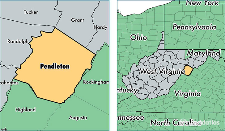
Pendleton County is a county equivalent area found in West Virginia, USA. The county government of Pendleton is found in the county seat of Franklin.
With a total 1,808.23 sq. km of land and water area, Pendleton County, West Virginia is the 1445th largest county equivalent area in the United States. Home to 7,371 people, Pendleton County has a total 5136 households earning 34175 on average per year.
Pendleton County, West Virginia - Quick Facts
| FIPS Code | 54071 |
| Area Codes | 304 |
| Time Zone | EST |
| Major Cities | Franklin (population: 2,897), Brandywine (population: 1,334), Upper Tract (population: 913), Circleville (population: 697), Sugar Grove (population: 635), Seneca Rocks (population: 614), Riverton (population: 408), Onego (population: 224) |
| Land Area | 2,846 sq miles |
| Water Area | 696 sq miles |
| Household Income | $34,175 |
| Housing Units | 5,136 |
| Median Home Value | $90,600 |
| High School Grads | 80% of population |
| Holders of Bachelors Degrees | 13% of population |
| Retail Spending | $5,227 per capita |
| Food & Accomodation Sales | $3,114 per capita |
This page was last updated on June 30, 2016.