Where is Pocahontas County, West Virginia?
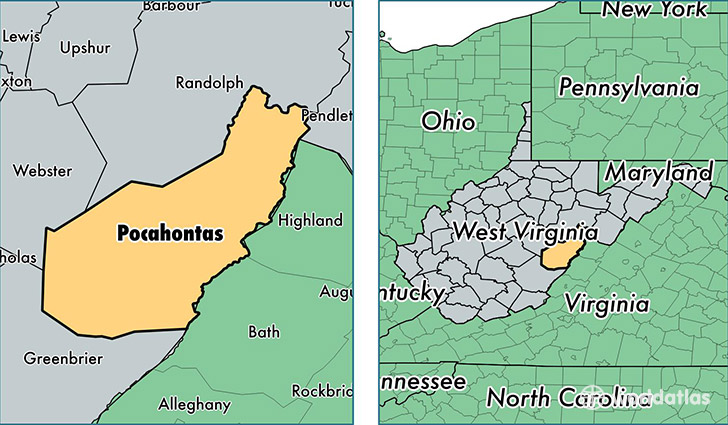
Pocahontas County is a county equivalent area found in West Virginia, USA. The county government of Pocahontas is found in the county seat of Marlinton.
With a total 2,439.3 sq. km of land and water area, Pocahontas County, West Virginia is the 851st largest county equivalent area in the United States. Home to 8,662 people, Pocahontas County has a total 8798 households earning 33779 on average per year.
Pocahontas County, West Virginia - Quick Facts
| FIPS Code | 54075 |
| Area Codes | 304 |
| Time Zone | EST |
| Major Cities | Marlinton (population: 3,503), Hillsboro (population: 1,528), Durbin (population: 640), Arbovale (population: 588), Buckeye (population: 510), Dunmore (population: 501), Green Bank (population: 399), Cass (population: 363), Bartow (population: 344), Slatyfork (population: 164) |
| Land Area | 3,344 sq miles |
| Water Area | 940 sq miles |
| Household Income | $33,779 |
| Housing Units | 8,798 |
| Median Home Value | $104,500 |
| High School Grads | 82% of population |
| Holders of Bachelors Degrees | 16% of population |
| Retail Spending | $7,012 per capita |
| Food & Accomodation Sales | $60,373 per capita |
This page was last updated on June 30, 2016.