Where is Hardy County, West Virginia?
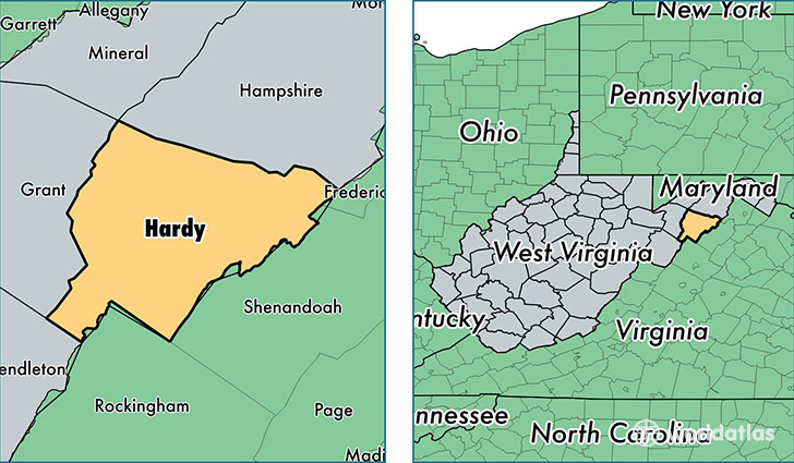
Hardy County is a county equivalent area found in West Virginia, USA. The county government of Hardy is found in the county seat of Moorefield.
With a total 1,513.81 sq. km of land and water area, Hardy County, West Virginia is the 1806th largest county equivalent area in the United States. Home to 13,923 people, Hardy County has a total 8078 households earning 32723 on average per year.
Hardy County, West Virginia - Quick Facts
| FIPS Code | 54031 |
| Area Codes | 304 |
| Time Zone | EST |
| Major Cities | Moorefield (population: 6,503), Wardensville (population: 2,155), Mathias (population: 1,685), Baker (population: 1,105), Old Fields (population: 887), Fisher (population: 700), Lost City (population: 325), Milam (population: 35) |
| Land Area | 5,376 sq miles |
| Water Area | 582 sq miles |
| Household Income | $32,723 |
| Housing Units | 8,078 |
| Median Home Value | $123,100 |
| High School Grads | 79% of population |
| Holders of Bachelors Degrees | 10% of population |
| Retail Spending | $9,736 per capita |
| Food & Accomodation Sales | $10,841 per capita |
| Universities and Colleges | Eastern West Virginia Community and Technical College |
This page was last updated on June 30, 2016.