Where is Rockingham County, Virginia?
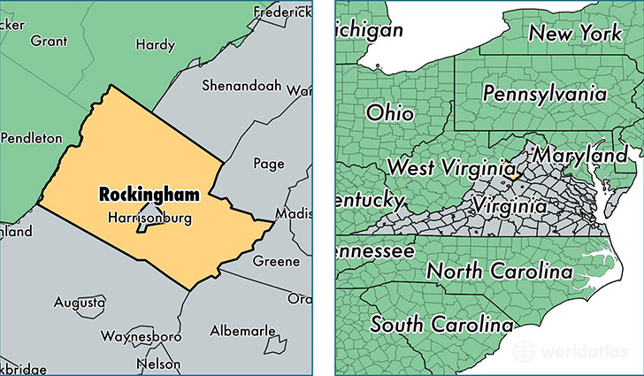
Rockingham County is a county equivalent area found in Virginia, USA.
With a total 2,210.41 sq. km of land and water area, Rockingham County, Virginia is the 1078th largest county equivalent area in the United States. Home to 78,171 people, Rockingham County has a total 34074 households earning 52195 on average per year.
Rockingham County, Virginia - Quick Facts
| FIPS Code | 51165 |
| Area Codes | 540 |
| Time Zone | EST |
| Major Cities | Elkton (population: 10,522), Bridgewater (population: 9,041), Broadway (population: 8,472), Grottoes (population: 6,191), Dayton (population: 5,834), Timberville (population: 4,428), McGaheysville (population: 4,415), Mount Crawford (population: 2,828), Penn Laird (population: 1,881), Fulks Run (population: 1,798) |
| Land Area | 30,182 sq miles |
| Water Area | 849 sq miles |
| Household Income | $52,195 |
| Housing Units | 34,074 |
| Median Home Value | $195,300 |
| High School Grads | 81% of population |
| Holders of Bachelors Degrees | 23% of population |
| Retail Spending | $6,171 per capita |
| Food & Accomodation Sales | $62,105 per capita |
This page was last updated on June 30, 2016.