Where is Augusta County, Virginia?
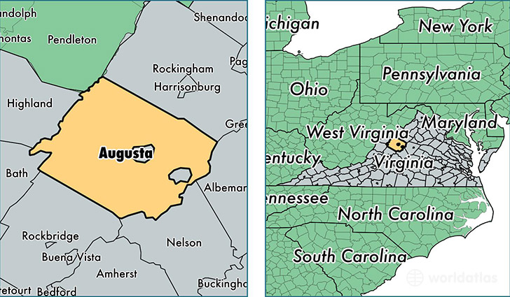
Augusta County is a county equivalent area found in Virginia, USA.
With a total 2,514.55 sq. km of land and water area, Augusta County, Virginia is the 811th largest county equivalent area in the United States. Home to 73,862 people, Augusta County has a total 31557 households earning 52027 on average per year.
Augusta County, Virginia - Quick Facts
| FIPS Code | 51015 |
| Area Codes | 540 |
| Time Zone | EST |
| Major Cities | Stuarts Draft (population: 10,559), Fishersville (population: 5,391), Verona (population: 4,865), Churchville (population: 3,863), Weyers Cave (population: 3,488), Greenville (population: 2,912), Crimora (population: 2,652), Craigsville (population: 2,639), Mount Solon (population: 2,454), Mount Sidney (population: 2,209) |
| Land Area | 28,518 sq miles |
| Water Area | 967 sq miles |
| Household Income | $52,027 |
| Housing Units | 31,557 |
| Median Home Value | $194,600 |
| High School Grads | 84% of population |
| Holders of Bachelors Degrees | 20% of population |
| Retail Spending | $8,890 per capita |
| Food & Accomodation Sales | $57,138 per capita |
This page was last updated on June 30, 2016.