Where is Hampshire County, West Virginia?
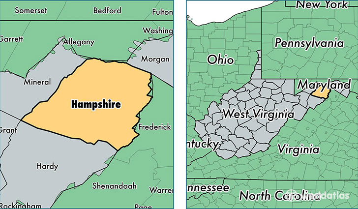
Hampshire County is a county equivalent area found in West Virginia, USA. The county government of Hampshire is found in the county seat of Romney.
With a total 1,669.53 sq. km of land and water area, Hampshire County, West Virginia is the 1590th largest county equivalent area in the United States. Home to 23,483 people, Hampshire County has a total 13672 households earning 27766 on average per year.
Hampshire County, West Virginia - Quick Facts
| FIPS Code | 54027 |
| Area Codes | 304 |
| Time Zone | EST |
| Major Cities | Romney (population: 6,395), Augusta (population: 5,602), Capon Bridge (population: 2,626), Paw Paw (population: 2,500), Springfield (population: 1,524), High View (population: 956), Purgitsville (population: 859), Rio (population: 823), Shanks (population: 677), Slanesville (population: 598) |
| Land Area | 9,067 sq miles |
| Water Area | 641 sq miles |
| Household Income | $27,766 |
| Housing Units | 13,672 |
| Median Home Value | $123,800 |
| High School Grads | 78% of population |
| Holders of Bachelors Degrees | 8% of population |
| Retail Spending | $4,958 per capita |
| Food & Accomodation Sales | $17,351 per capita |
This page was last updated on June 30, 2016.