Frederick County, VA, USA
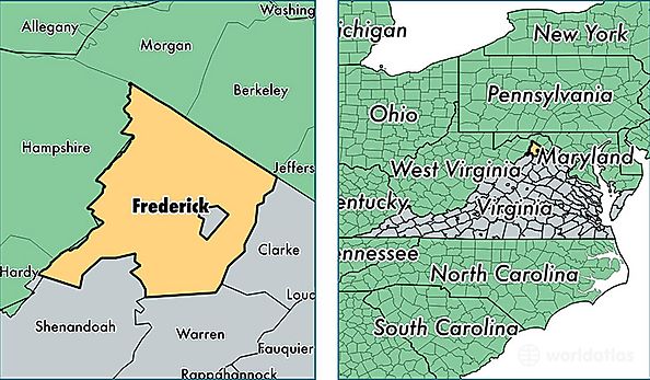
Frederick County is a county equivalent area found in Virginia, USA.
With a total 1,076.15 sq. km of land and water area, Frederick County, Virginia is the 2512th largest county equivalent area in the United States. Home to 82,377 people, Frederick County has a total 32013 households earning 68424 on average per year.
Frederick County, Virginia offers the following attraction to visitors: Cedar Creek & Belle Grove NHP
Frederick County, Virginia - Quick Facts
| FIPS Code | 51069 |
| Area Codes | 540 |
| Time Zone | EST |
| Major Cities | Winchester (population: 43,440), Stephens City (population: 19,823), Middletown (population: 3,965), Cross Junction (population: 3,734), Clear Brook (population: 2,630), Stephenson (population: 2,442), Gore (population: 2,020), Star Tannery (population: 655) |
| Land Area | 31,806 sq miles |
| Water Area | 414 sq miles |
| Household Income | $68,424 |
| Housing Units | 32,013 |
| Median Home Value | $226,900 |
| High School Grads | 86% of population |
| Holders of Bachelors Degrees | 28% of population |
| Retail Spending | $15,427 per capita |
| Food & Accomodation Sales | $86,657 per capita |