Shenandoah County, VA, USA
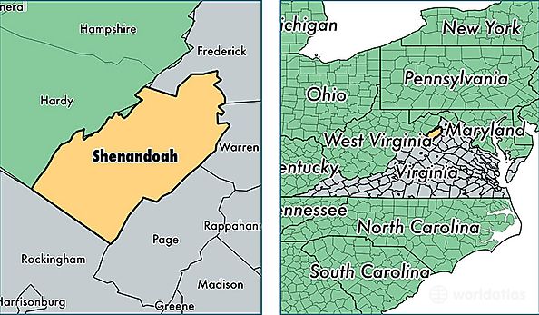
Shenandoah County is a county equivalent area found in Virginia, USA. The county government of Shenandoah is found in the county seat of Woodstock.
With a total 1,325.27 sq. km of land and water area, Shenandoah County, Virginia is the 2131st largest county equivalent area in the United States. Home to 43,021 people, Shenandoah County has a total 20983 households earning 49625 on average per year.
Shenandoah County, Virginia - Quick Facts
| FIPS Code | 51171 |
| Area Codes | 540 |
| Time Zone | EST |
| Major Cities | Strasburg (population: 11,475), Woodstock (population: 8,875), Edinburg (population: 6,102), Mount Jackson (population: 5,134), New Market (population: 4,591), Maurertown (population: 2,207), Toms Brook (population: 1,712), Fort Valley (population: 1,418), Quicksburg (population: 1,080), Basye (population: 875) |
| Land Area | 16,610 sq miles |
| Water Area | 508 sq miles |
| Household Income | $49,625 |
| Housing Units | 20,983 |
| Median Home Value | $205,300 |
| High School Grads | 85% of population |
| Holders of Bachelors Degrees | 20% of population |
| Retail Spending | $12,176 per capita |
| Food & Accomodation Sales | $50,053 per capita |