Where is Calhoun County, West Virginia?
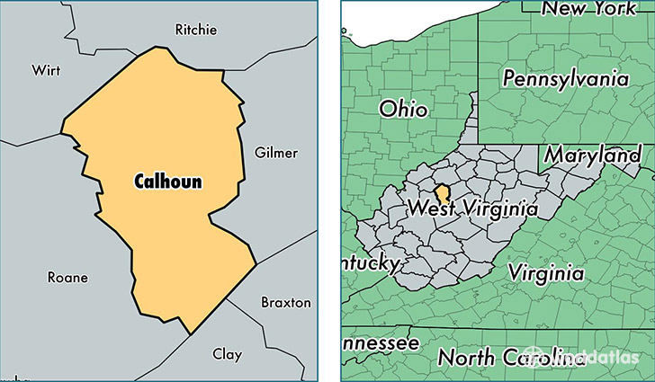
Calhoun County is a county equivalent area found in West Virginia, USA. The county government of Calhoun is found in the county seat of Grantsville.
With a total 726.96 sq. km of land and water area, Calhoun County, West Virginia is the 2891st largest county equivalent area in the United States. Home to 7,513 people, Calhoun County has a total 3929 households earning 31679 on average per year.
Calhoun County, West Virginia - Quick Facts
| FIPS Code | 54013 |
| Area Codes | 304 |
| Time Zone | EST |
| Major Cities | Grantsville (population: 2,182), Arnoldsburg (population: 1,196), Chloe (population: 945), Big Springs (population: 937), Orma (population: 868), Big Bend (population: 642), Mount Zion (population: 556), Creston (population: 366), Millstone (population: 334), Munday (population: 57) |
| Land Area | 2,901 sq miles |
| Water Area | 279 sq miles |
| Household Income | $31,679 |
| Housing Units | 3,929 |
| Median Home Value | $75,900 |
| High School Grads | 77% of population |
| Holders of Bachelors Degrees | 10% of population |
| Retail Spending | $4,714 per capita |
| Food & Accomodation Sales | $1,305 per capita |
This page was last updated on June 30, 2016.