Where is Wirt County, West Virginia?
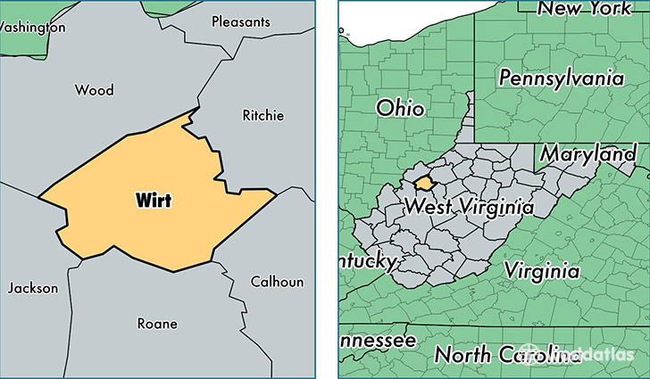
Wirt County is a county equivalent area found in West Virginia, USA. The county government of Wirt is found in the county seat of Elizabeth.
With a total 608.04 sq. km of land and water area, Wirt County, West Virginia is the 2971st largest county equivalent area in the United States. Home to 5,845 people, Wirt County has a total 3209 households earning 34702 on average per year.
Wirt County, West Virginia - Quick Facts
| FIPS Code | 54105 |
| Area Codes | 304 |
| Time Zone | EST |
| Major Cities | Elizabeth (population: 4,637), Palestine (population: 981), Brohard (population: 129) |
| Land Area | 2,257 sq miles |
| Water Area | 232 sq miles |
| Household Income | $34,702 |
| Housing Units | 3,209 |
| Median Home Value | $73,100 |
| High School Grads | 86% of population |
| Holders of Bachelors Degrees | 11% of population |
| Retail Spending | $2,509 per capita |
| Food & Accomodation Sales | $863 per capita |
This page was last updated on June 30, 2016.