Where is Gilmer County, West Virginia?
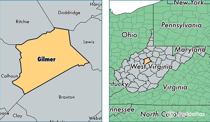
Gilmer County is a county equivalent area found in West Virginia, USA. The county government of Gilmer is found in the county seat of Glenville.
With a total 880.8 sq. km of land and water area, Gilmer County, West Virginia is the 2762nd largest county equivalent area in the United States. Home to 8,618 people, Gilmer County has a total 3418 households earning 38442 on average per year.
Gilmer County, West Virginia - Quick Facts
| FIPS Code | 54021 |
| Area Codes | 304 |
| Time Zone | EST |
| Major Cities | Glenville (population: 5,142), Normantown (population: 761), Coxs Mills (population: 511), Rosedale (population: 487), Sand Fork (population: 468), Troy (population: 259), Cedarville (population: 225), Shock (population: 178) |
| Land Area | 3,327 sq miles |
| Water Area | 339 sq miles |
| Household Income | $38,442 |
| Housing Units | 3,418 |
| Median Home Value | $72,500 |
| High School Grads | 77% of population |
| Holders of Bachelors Degrees | 17% of population |
| Retail Spending | $4,968 per capita |
| Food & Accomodation Sales | $5,244 per capita |
This page was last updated on June 30, 2016.