Where is Braxton County, West Virginia?
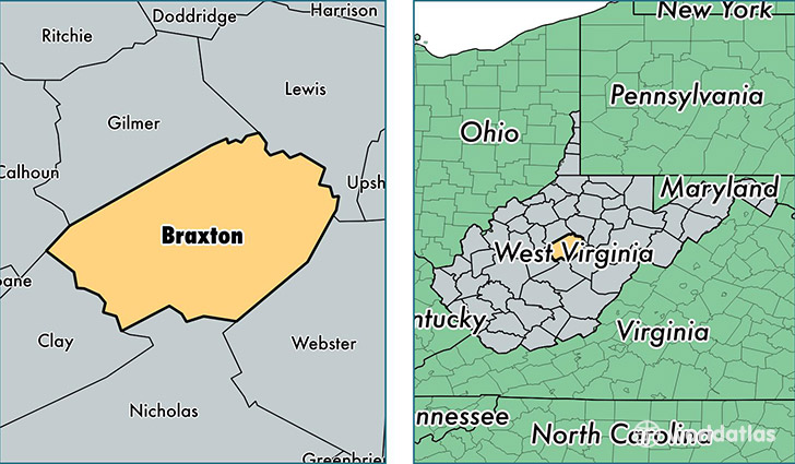
Braxton County is a county equivalent area found in West Virginia, USA. The county government of Braxton is found in the county seat of Sutton.
With a total 1,337.14 sq. km of land and water area, Braxton County, West Virginia is the 2117th largest county equivalent area in the United States. Home to 14,463 people, Braxton County has a total 7344 households earning 31848 on average per year.
Braxton County, West Virginia - Quick Facts
| FIPS Code | 54007 |
| Area Codes | 304 |
| Time Zone | EST |
| Major Cities | Sutton (population: 4,879), Gassaway (population: 2,938), Burnsville (population: 1,374), Frametown (population: 1,184), Flatwoods (population: 754), Exchange (population: 603), Ireland (population: 462), Heaters (population: 445), Napier (population: 350), Little Birch (population: 307) |
| Land Area | 5,584 sq miles |
| Water Area | 511 sq miles |
| Household Income | $31,848 |
| Housing Units | 7,344 |
| Median Home Value | $80,400 |
| High School Grads | 78% of population |
| Holders of Bachelors Degrees | 11% of population |
| Retail Spending | $15,088 per capita |
| Food & Accomodation Sales | $16,765 per capita |
This page was last updated on June 30, 2016.