Ritchie County, WV, USA
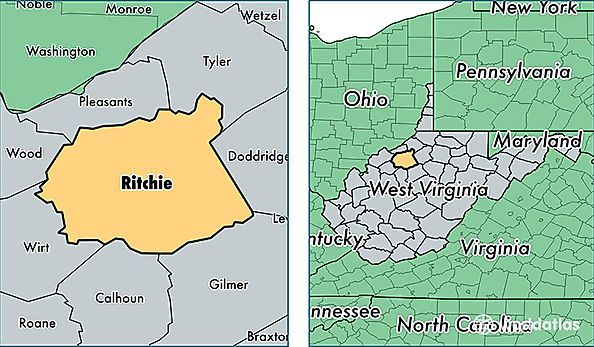
Ritchie County is a county equivalent area found in West Virginia, USA. The county government of Ritchie is found in the county seat of Harrisville.
With a total 1,175.07 sq. km of land and water area, Ritchie County, West Virginia is the 2329th largest county equivalent area in the United States. Home to 10,011 people, Ritchie County has a total 5790 households earning 35769 on average per year.
Ritchie County, West Virginia - Quick Facts
| FIPS Code | 54085 |
| Area Codes | 304 |
| Time Zone | EST |
| Major Cities | Pennsboro (population: 3,953), Harrisville (population: 3,309), Cairo (population: 1,193), Ellenboro (population: 954), Smithville (population: 575), Petroleum (population: 470), Auburn (population: 313), Pullman (population: 256), Macfarlan (population: 240), Berea (population: 81) |
| Land Area | 3,865 sq miles |
| Water Area | 452 sq miles |
| Household Income | $35,769 |
| Housing Units | 5,790 |
| Median Home Value | $73,400 |
| High School Grads | 79% of population |
| Holders of Bachelors Degrees | 11% of population |
| Retail Spending | $5,843 per capita |
| Food & Accomodation Sales | $3,646 per capita |