Where is Cabell County, West Virginia?
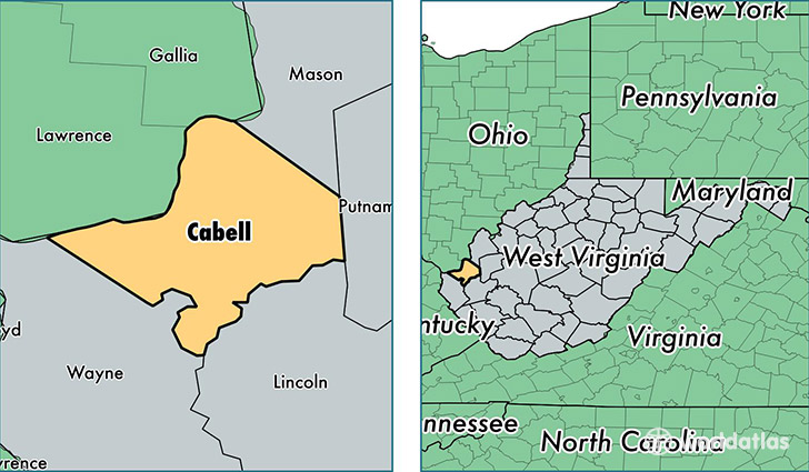
Cabell County is a county equivalent area found in West Virginia, USA. The county government of Cabell is found in the county seat of Huntington.
With a total 745.96 sq. km of land and water area, Cabell County, West Virginia is the 2866th largest county equivalent area in the United States. Home to 97,109 people, Cabell County has a total 46162 households earning 38374 on average per year.
Cabell County, West Virginia - Quick Facts
| FIPS Code | 54011 |
| Area Codes | 304 |
| Time Zone | EST |
| Major Cities | Huntington (population: 58,892), Barboursville (population: 12,744), Milton (population: 9,401), Culloden (population: 5,122), Ona (population: 4,542), Salt Rock (population: 2,166), Lesage (population: 2,006) |
| Land Area | 37,494 sq miles |
| Water Area | 281 sq miles |
| Household Income | $38,374 |
| Housing Units | 46,162 |
| Median Home Value | $105,400 |
| High School Grads | 86% of population |
| Holders of Bachelors Degrees | 26% of population |
| Retail Spending | $15,844 per capita |
| Food & Accomodation Sales | $205,158 per capita |
| Universities and Colleges | Marshall University, Marshall Community and Technical College |
This page was last updated on June 30, 2016.