Where is Gallia County, Ohio?
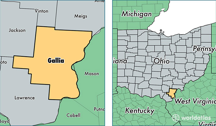
Gallia County is a county equivalent area found in Ohio, USA. The county government of Gallia is found in the county seat of Gallipolis.
With a total 1,220.39 sq. km of land and water area, Gallia County, Ohio is the 2276th largest county equivalent area in the United States. Home to 30,397 people, Gallia County has a total 13721 households earning 39226 on average per year.
Gallia County, Ohio - Quick Facts
| FIPS Code | 39053 |
| Area Codes | 740 |
| Time Zone | EST |
| Major Cities | Gallipolis (population: 14,938), Bidwell (population: 5,042), Crown City (population: 3,469), Vinton (population: 3,367), Patriot (population: 2,766), Thurman (population: 1,241), Cheshire (population: 910), Rio Grande (population: 579) |
| Land Area | 11,736 sq miles |
| Water Area | 466 sq miles |
| Household Income | $39,226 |
| Housing Units | 13,721 |
| Median Home Value | $95,500 |
| High School Grads | 81% of population |
| Holders of Bachelors Degrees | 15% of population |
| Retail Spending | $11,534 per capita |
| Food & Accomodation Sales | $33,335 per capita |
This page was last updated on June 30, 2016.