Where is Wayne County, West Virginia?
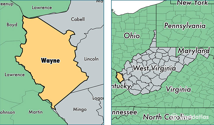
Wayne County is a county equivalent area found in West Virginia, USA. The county government of Wayne is found in the county seat of Wayne.
With a total 1,326.36 sq. km of land and water area, Wayne County, West Virginia is the 2128th largest county equivalent area in the United States. Home to 41,122 people, Wayne County has a total 19151 households earning 36964 on average per year.
Wayne County, West Virginia - Quick Facts
| FIPS Code | 54099 |
| Area Codes | 304 |
| Time Zone | EST |
| Major Cities | Huntington (population: 16,250), Wayne (population: 6,509), Kenova (population: 5,761), Fort Gay (population: 3,945), Kermit (population: 3,123), Lavalette (population: 2,728), Prichard (population: 2,279), Genoa (population: 2,030), East Lynn (population: 1,212), Dunlow (population: 1,070) |
| Land Area | 15,877 sq miles |
| Water Area | 506 sq miles |
| Household Income | $36,964 |
| Housing Units | 19,151 |
| Median Home Value | $79,500 |
| High School Grads | 78% of population |
| Holders of Bachelors Degrees | 12% of population |
| Retail Spending | $5,612 per capita |
| Food & Accomodation Sales | $18,397 per capita |
This page was last updated on June 30, 2016.