Where is Okanogan County, Washington?
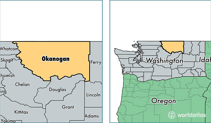
Okanogan County is a county equivalent area found in Washington, USA. The county government of Okanogan is found in the county seat of Okanogan.
With a total 13,765.24 sq. km of land and water area, Okanogan County, Washington is the 75th largest county equivalent area in the United States. Home to 41,290 people, Okanogan County has a total 22251 households earning 40368 on average per year.
Okanogan County, Washington offers the following attraction to visitors: Lake Roosevelt NRA
Okanogan County, Washington - Quick Facts
| FIPS Code | 53047 |
| Area Codes | 509 |
| Time Zone | PST |
| Major Cities | Omak (population: 9,231), Tonasket (population: 5,885), Brewster (population: 4,929), Okanogan (population: 4,869), Oroville (population: 4,757), Twisp (population: 2,473), Winthrop (population: 2,226), Coulee Dam (population: 1,448), Nespelem (population: 1,355), Pateros (population: 1,177) |
| Land Area | 15,942 sq miles |
| Water Area | 5,268 sq miles |
| Household Income | $40,368 |
| Housing Units | 22,251 |
| Median Home Value | $160,800 |
| High School Grads | 82% of population |
| Holders of Bachelors Degrees | 17% of population |
| Retail Spending | $10,538 per capita |
| Food & Accomodation Sales | $48,962 per capita |
This page was last updated on June 30, 2016.