Where is Skagit County, Washington?
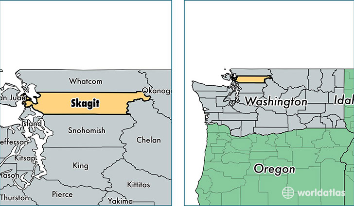
Skagit County is a county equivalent area found in Washington, USA. The county government of Skagit is found in the county seat of Mount Vernon.
With a total 4,973.15 sq. km of land and water area, Skagit County, Washington is the 333rd largest county equivalent area in the United States. Home to 120,365 people, Skagit County has a total 51533 households earning 55925 on average per year.
Skagit County, Washington - Quick Facts
| FIPS Code | 53057 |
| Area Codes | 360 |
| Time Zone | PST |
| Major Cities | Mount Vernon (population: 45,841), Sedro Woolley (population: 24,625), Anacortes (population: 20,659), Burlington (population: 15,039), La Conner (population: 4,180), Concrete (population: 4,070), Bow (population: 3,964), Marblemount (population: 540), Rockport (population: 439), Hamilton (population: 247) |
| Land Area | 46,473 sq miles |
| Water Area | 1,731 sq miles |
| Household Income | $55,925 |
| Housing Units | 51,533 |
| Median Home Value | $261,400 |
| High School Grads | 88% of population |
| Holders of Bachelors Degrees | 24% of population |
| Retail Spending | $18,362 per capita |
| Food & Accomodation Sales | $251,025 per capita |
This page was last updated on June 30, 2016.