Where is Grant County, Washington?
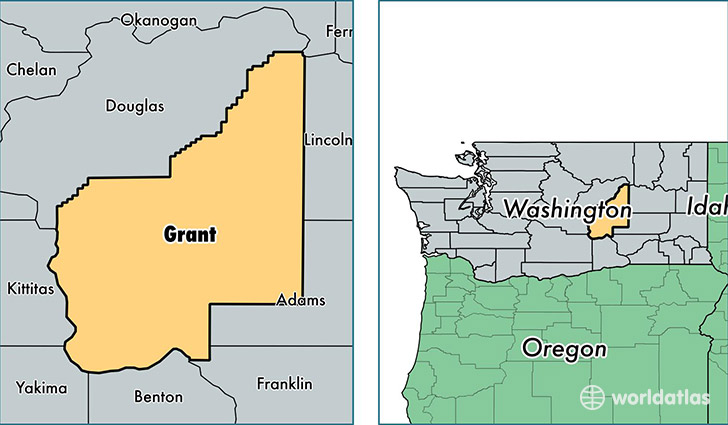
Grant County is a county equivalent area found in Washington, USA. The county government of Grant is found in the county seat of Ephrata.
With a total 7,229.44 sq. km of land and water area, Grant County, Washington is the 201st largest county equivalent area in the United States. Home to 93,147 people, Grant County has a total 35119 households earning 45949 on average per year.
Grant County, Washington - Quick Facts
| FIPS Code | 53025 |
| Area Codes | 509 |
| Time Zone | PST |
| Major Cities | Moses Lake (population: 40,882), Quincy (population: 11,854), Ephrata (population: 11,377), Mattawa (population: 8,730), Royal City (population: 4,449), Warden (population: 4,199), Soap Lake (population: 4,131), Grand Coulee (population: 1,526), Coulee City (population: 1,175), Electric City (population: 1,088) |
| Land Area | 35,964 sq miles |
| Water Area | 2,680 sq miles |
| Household Income | $45,949 |
| Housing Units | 35,119 |
| Median Home Value | $154,700 |
| High School Grads | 76% of population |
| Holders of Bachelors Degrees | 15% of population |
| Retail Spending | $9,355 per capita |
| Food & Accomodation Sales | $95,775 per capita |
This page was last updated on June 30, 2016.