Where is Whatcom County, Washington?
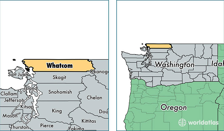
Whatcom County is a county equivalent area found in Washington, USA. The county government of Whatcom is found in the county seat of Bellingham.
With a total 6,483.62 sq. km of land and water area, Whatcom County, Washington is the 233rd largest county equivalent area in the United States. Home to 208,351 people, Whatcom County has a total 91392 households earning 51939 on average per year.
Whatcom County, Washington offers the following attractions to visitors: North Cascades NP, Ross Lake NRA
Whatcom County, Washington - Quick Facts
| FIPS Code | 53073 |
| Area Codes | 360 |
| Time Zone | PST |
| Major Cities | Bellingham (population: 120,137), Ferndale (population: 22,819), Lynden (population: 19,280), Blaine (population: 16,031), Everson (population: 9,257), Maple Falls (population: 3,716), Custer (population: 3,123), Deming (population: 3,062), Sumas (population: 2,458), Point Roberts (population: 1,340) |
| Land Area | 80,445 sq miles |
| Water Area | 2,107 sq miles |
| Household Income | $51,939 |
| Housing Units | 91,392 |
| Median Home Value | $277,000 |
| High School Grads | 91% of population |
| Holders of Bachelors Degrees | 32% of population |
| Retail Spending | $13,254 per capita |
| Food & Accomodation Sales | $407,945 per capita |
This page was last updated on June 30, 2016.