Where is Douglas County, Washington?
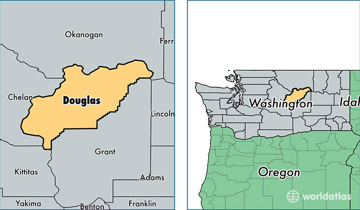
Douglas County is a county equivalent area found in Washington, USA. The county government of Douglas is found in the county seat of Waterville.
With a total 4,788. sq. km of land and water area, Douglas County, Washington is the 356th largest county equivalent area in the United States. Home to 39,804 people, Douglas County has a total 16069 households earning 51908 on average per year.
Douglas County, Washington - Quick Facts
| FIPS Code | 53017 |
| Area Codes | 509 |
| Time Zone | PST |
| Major Cities | East Wenatchee (population: 29,405), Bridgeport (population: 3,249), Orondo (population: 1,860), Rock Island (population: 1,579), Waterville (population: 1,557), Mansfield (population: 505), Palisades (population: 131) |
| Land Area | 15,368 sq miles |
| Water Area | 1,819 sq miles |
| Household Income | $51,908 |
| Housing Units | 16,069 |
| Median Home Value | $205,100 |
| High School Grads | 80% of population |
| Holders of Bachelors Degrees | 17% of population |
| Retail Spending | $11,387 per capita |
| Food & Accomodation Sales | $30,403 per capita |
This page was last updated on June 30, 2016.